
A
scenic, interesting and sometimes rugged loop over "Old Shag," using
the Bolles, Old Paugus, Lawrence, Cabin and Whitin Brook Trails. Great
views both on and off the trail. The loop is 8.6 miles with 2450 ft. of elevation gain. For a detailed description of the trails and more on Mount Paugus, follow this link.
Entering the Wilderness on the Old Paugus Trail. The mosquitoes were relentless on the lower two miles of the loop, in both morning and evening. The Paugus Road trailhead has always been one of the worst 'skeeter areas in the Whites.

Beautiful forest in the lower Whitin Brook valley.

Chocorua Mountain Club volunteers were out clearing blowdowns earlier this month.

The lower mile of Old Paugus Trail is easy strolling, in contrast to its rugged upper section.

An unusual "bridge" over Whitin Brook.

Big trailside rock.

The Old Paugus Trail is lightly used as it climbs out of the valley...

...through a fine beech forest.

The lower edge of a one-acre area that was burned in a forest fire in 2001.

Above here the trail shoots up a steep, rocky gully.

Then it climbs along a dramatic rock face....

...and crosses a spruce-wooded shoulder devastated by blowdown.

Moose have been wandering the ridge.

A tricky ledge scramble.

Interesting terrain!

At the top of a steep climb you reach a fine south-facing outlook ledge. Well-timed for a break!

Looking southwest.

Profile of Mt. Whiteface.

Another ledge scramble above the outlook.

I bushwhacked out to a crag with a broad-spreading view of Mt. Chocorua rising beyond the Paugus Brook valley. A wild, cliff-faced spur ridge of Paugus fills the lower foreground. In the late 1800s the naturalist/author Frank Bolles bushwhacked up the ravine below these cliffs, as chronicled in his book, "At the North of Bearcamp Water."

Zoom on Chocorua and the Sisters, with the west ridge and the Bee Line Trail valley in front.

Looking down to the lower valley of the Paugus link in the Bee Line Trail.

Distant view to the Moats and Kearsarge North.

It was hard to leave this spot!


The
site of Old Shag Shelter, built in 1912 by the Chocorua Mountain Club
in a col just below the south peak of Paugus.It was a favorite spot for
many a Sandwich Range tramper. Having deteriorated over the years, it
was removed around 1985.

This sketch of Old Shag Camp was made by tramper Edgar E. Wright in 1934 and is found in the Chocorua Mountain Club archives.

A current resident of the Old Shag site.

A large bog lies just in front of the shelter site, with the trailless true summit of Mt. Paugus peering over to the north.

The presumed water source for the old shelter looks like it would need some serious filtering.

Steep scrambling up to the south peak.

View of Chocorua near the top.

The broad ledge atop the south peak of Paugus. There's no view here.

But a short path leads down to the southwest...

...emerging on one of the great view ledges of the Sandwich Range.

Mt. Passaconaway is impressive from this angle. The cliff faces of Square Ledge glower far below.

Wide view to the Lakes Region.

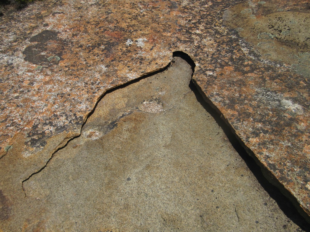
A huge granite slab.

The ledge is exfoliating.
On to the Lawrence Trail, a rugged and exciting route cut in 1906 by Rosewell B. Lawrence.

The spruce woods along the upper part of the trail are notably thick.

The original route of the Lawrence Trail climbed directly through precipitous terrain. Some sections were unsustainable due to erosion. Thus in 2006 and 2008 the Wonalancet Out Door Club constructed several major relocations using a series of gravelly switchbacks.

Rock steps were needed on this steep pitch.

Partway down I made a thick bushwhack to a high crag on the west side of the mountain. Here there was a wide view to the north.

The ledge also looked down on the steep-faced knob known as "The Overhang" at the head of the Whitin Brook valley. The Lawrence Trail originally went up across the face of The Overhang through wildly steep terrain, but the trail was literally crumbling away and in 2006 it was relocated to better (though less exciting) terrain at the base of The Overhang.

This is one section of the former trail route on The Overhang.

I wanted to get down to a lower ledge perch (at bottom of photo) for a down-look into the Whitin Brook valley, but there was a dropoff in between and I could see no safe way to slither down.

Back on the trail, after a long descent the relocated route passes under one of the lower cliffs of The Overhang.

After a short, rough sidehill traverse on the Cabin Trail, the Whitin Brook Trail led back down to the valley.

It descends through an area ravaged by blowdown.

On the broad, remote floor of the valley, cloaked in a fine hardwood forest, a short detour led to this peaceful spot on Whitin Brook.

A rocky scene on the brook farther down the valley. No more photos after this as clouds of mosquitoes hounded me for the last two miles.


No comments:
Post a Comment