
A leisurely loop over the Trips via the South Slide/Scaur Ridge combo, with a few side excursions along the way.
Fireweed blooming at the Depot Camp clearing, East Osceola in the background.

A
short side trip led out to a place called Swazeytown, where the remains
of a log driving dam from the early 1900s can be seen in Slide Brook.

A buried bed frame at the site of the Swazeytown logging camp.

White Cascade, a beautiful spot on Slide Brook beside the Livermore Trail.

White Cascade from above.

After an unsuccessful search for the "old" Avalanche Camp, a logging camp shown in this vicinity on the 1925 edition of the A.L. Goodrich map of Waterville Valley, I headed up the south side of the Mt. Tripyramid Trail.

Across Avalanche Brook and into the Wilderness.

The first part of this approach is a gentle walk through fine hardwood forest.

The trail parallels Slide Brook, providing some nice stream scenery.

Cold Brook tumbles down from a deep ravine on the west side of Tripyramid.

Peering down from the top of Black Cascade on Slide Brook, named for its dark gabbro bedrock.

Farther up I left the trail and did some brook-whacking along the upper reach of Slide Brook, stopping for a while to admire this mossy water-sluice.

Slide Brook has two upper forks. This is the one that comes down from the South Slides. When the first South Slide fell in 1869, this swath was undoubtedly scoured down to bedrock.

Another cascade.

Looking back down the brook/slide swath.

Soon the brook became smaller and constricted. Time to head up into the woods.

A deer had used the same gravel bank to exit the streambed.

I bushwhacked back up to the trail through beautiful glades.

This tree tied itself into a knot.

Ferny stretch of trail approaching the bottom of the South Slide.

Steep climbing along the slide runout.

First views from the open part of the slide.

Up we go!

Mt. Tecumseh across the valley.

There are still a few old blazes left on the slide.

Ledge scramble. Overall the South Slide is much easier to ascend than the North Slide.

The open upper reach of the slide. After this slide came crashing down during an intense rainstorm on October 4, 1869, it caused quite a sensation among tourists, hikers and geologists, all of whom came to view the massive destruction it caused. For years it was known as the "Great Slide." After the huge North Slide and a second South Slide (crossed by the Kate Sleeper Trail) fell in 1885, it became known as the first South Slide.

A painted three-way arrow marks the junction with the Kate Sleeper Trail near the top of the slide.

Looking across at the West Spur of Mt. Whiteface and the long SW arm of East Sleeper, all trailless ridges.

The classic South Slide view over the remote and wild Lost Pass region, with Sandwich Dome beyond. I found a comfortable rock seat and enjoyed this for a while.

Two New Jersey hikers descend the slide, having ascended via the North Slide. They are working on the Terrifying 25 list, which includes both slides.

The climb to South Tripyramid remains steep above the slide.

The trail mellows out near the top.

South Tripyramid is a quiet, remote peak. It's not on the regular 4K list and a hike of at least 5 miles is required to reach it.

A peek at the Sleepers and Mt. Whiteface, slightly off-trail.

North and Middle Tripyramid from an opening along the trail. Mts. Carrigain and Willey through the gap.
The ferny col between South and Middle Peaks.

A neat overhang on the way up Middle Peak, reminiscent of the Catskills.

Portal to the summit of Middle Peak.

East view to Mts. Chocorua and Passaconaway from Middle Peak.

Hazy western view across the valley to Mt. Tecumseh.

Osceolas.

Peering down into the Sabbaday Brook valley, slightly off-trail.

Important trail junction.

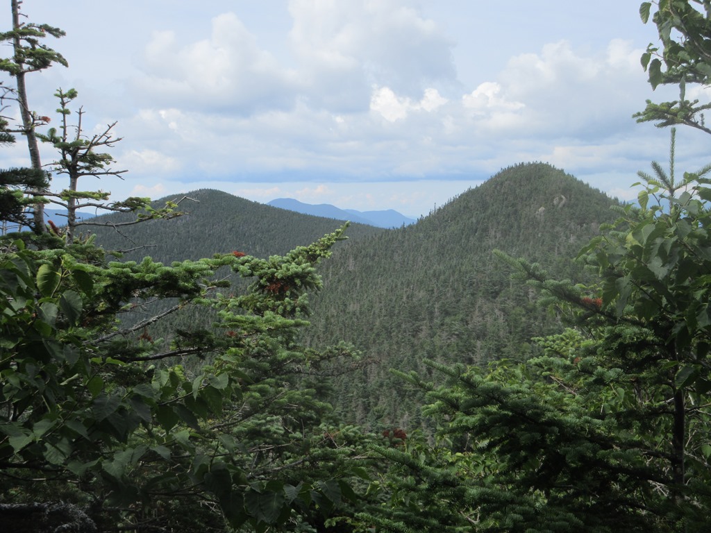
The wooded summit of North Peak.

Stand-up view to the north from a short side path.

Interesting angle on Mt. Whiteface and Middle and South Tripyramid from an off-trail viewpoint.

Middle Peak puts the "pyramid" in Tripyramid.

Wilderness vista across to Sandwich Dome.

Mad River Notch and mountains beyond.

Typically nasty stuff on the upper Pine Bend Brook Trail. Once past that steep and rough section, the remaining 5 1/2 miles of descent are quite mellow.

Very pleasant walk along nearly level Scaur Ridge on Pine Bend Brook Trail.

By the Scaur Ridge Trail junction, a well-beaten path through hobblebush thickets leads to a vista north to Mt. Carrigain.

Gorgeous glade below a brook crossing on the Scaur Ridge Trail.

Scaur Ridge Trail is a delight to descend, and is well-maintained by adopter Dennis Follensbee Jr.

A glimpse of the North Slide.

Majestic hardwoods along the Livermore Trail.

The clearing of the "new" Avalanche Camp, a logging camp used probably in the 1930s/1940s. No time to look for artifacts today.

A refreshing stop at White Cascade breaks up the long walk out on Livermore Trail.

