Tuesday, December 22, 2015

FLETCHER'S CASCADES: 12/21/15

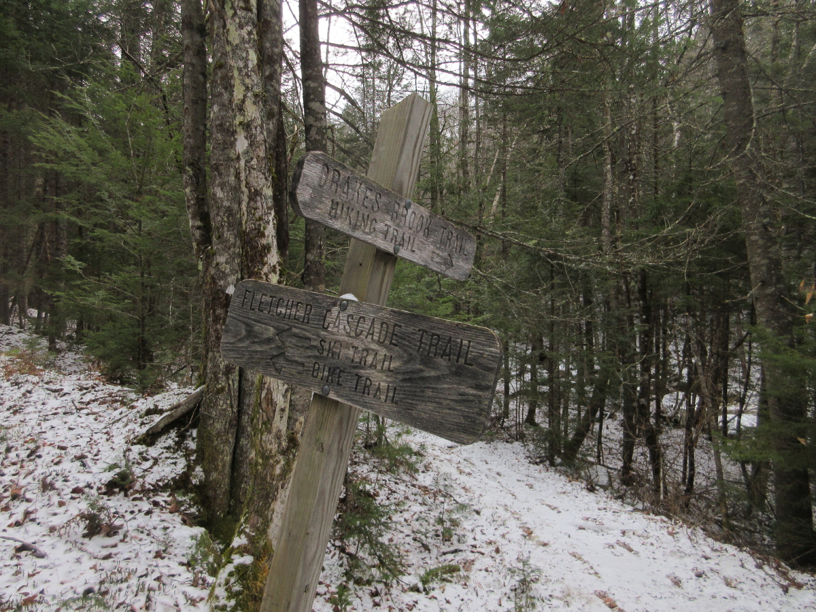
On a gray, chilly morning I enjoyed a hike to several ice-draped cascades and an historic dam site in Waterville Valley. I walked up the mellow Drakes Brook Trail, then veered left onto the lightly-traveled Fletcher's Cascade Trail, maintained by the Waterville Valley Athletic & Improvement Association (WVAIA).


Before long the trail enters the Sandwich Range Wilderness.


The only significant brook crossing on this route is the stream that comes down from Fletcher's Cascades. Per usual in December - even a warm one such as this - careful rock-hopping was required due to an icy coating on many step stones.


A massive old hemlock blowdown.


A towering hemlock on the approach to the Cascades.


A hemlock stand and a spur of Flat Mountain.


The lower Fletcher's Cascades, a classic ledge staircase.


A middle cascade.


This drop was mostly frozen thanks to two recent cold nights.


Steep rocky brookbed.


The trail is steep as it ascends to the upper cascades. The dusting of snow and occasional icy patch made for slippery footing. My old Stabilicers performed well here, saving unnecessary wear on my Microspikes.


The southern of the side-by-side upper cascades.


The trail hooks left along the base of this one. A WVAIA arrow shows the way.


The northern of the upper cascades. Didn't look like a record warm December here.


A closer look.


Side view.


These large boulders stand guard on Drakes Brook where the tributary from Fletcher's Cascades comes in. In his early Waterville Valley guidebook, A.L. Goodrich called these "the Bowlders" and the tributary was named "Bowlder Brook."


A fine cascade on Drakes Brook.


Two for the price of one.


A large piece of machinery at the site of a dam on Drakes Brook used as part of log drives on the Mad River by International Paper Co. and Parker Young Co. in the early 1900s. Thanks to Ray Caron for intel on this historic site.


View from the other end.


Weathered timbers from the dam.


Another old timber, with iron spikes.


Looking down Drakes Brook from the dam site.


The Drakes Brook dam site. The log drives down the Mad River ended about 1931 as it became more practical to haul the logs by truck. After that this and several other dams in the Waterville area (on the Mad River, the West Branch, Flume Brook and Avalanche/Slide Brook) fell into disrepair. 


Thursday, December 17, 2015


ON THE SOUTH SIDE OF SANDWICH DOME: 12/16/15

The unusually warm December has allowed for an extended season of bare ground, late fall bushwhacking. On one of the few recent non-gloomy days I headed for a favorite area in the wild, trailless area on the south side of Sandwich Dome. Though a trek up Bennett Street Trail to Sandwich Dome's summit beckoned, I couldn't resist a bushwhack loop that included a variety of woods, some logging history, a bunch of cascades, a large beaver pond and a familiar, unique ledge viewpoint.

On the drive in to the western trailhead for the Flat Mountain Pond Trail, I stopped for a photo of Sandwich Dome from a field along Bennett Street.


Mine was the only car at this remote trailhead, and I saw no other hikers during the day.


This is Wonalancet Out Door Club country. The WODC has been an outstanding steward of the Sandwich Range since 1892.


Climbing up the Flat Mountain Pond Trail in late morning sun. Along here I spotted a flock of a dozen wild turkeys foraging through the woods.


A beautiful morning!


I turned left onto the Guinea Pond Trail.


Easy walking on the Guinea Pond Trail, following the grade of the old Beebe River logging railroad (1917-1942).


The clearing at Camp 7 of the Beebe River logging railroad.


Sled runners and other logging camp "stuff."


Some rusting peavey heads.


There always seem to be at least a couple of old buckets around any logging camp site.


A rusting barrel deep in the woods.


A peaceful section of the Cold River.


The first of several cascades I admired along this scenic backcountry stream.


Another one.


Rugged rock-and-waterfall scenery.


Here the stream is constricted through a narrow flume-like formation.


A cascade dropping into the flume.


Still more cascades father upstream.


Small but attractive.


Another nice one.


And one more.

A bouldery drop.


I followed the east fork of Cold River up to a plateau. Here I left it to bushwhack across to a large beaver pond complex.


For a short distance I followed an old tote road from the Beebe River logging days.


A first peek at the beaver pond.


I crossed the west fork of Cold River, which drains from the beaver pond.


First mountain view from the shore - rugged Black Mountain, whose crest is traversed by the Algonquin Trail.


Typical woods behind the shore. At times I was able to follow well-beaten moose paths.


A good-looking beaver lodge.


The sprawling mass of Sandwich Dome. I first visited this expansive beaver pond back in 2005, and this vista was just as captivating the second time.


From the shore I headed up through brushy hardwoods (shown here) and then spruce woods to the outlook ledge.


Of many destinations I've bushwhacked to in the Whites, this is among my favorites for its seclusion and its unique view of Sandwich Dome. This was my fifth visit here.


This entire wild southern flank of Sandwich Dome is accessible only to bushwhackers.


The ledge also offers a distant view east to Whiteface, Paugus, Chocorua and other Sandwich Range summits.


Mount Whiteface and the southern Flat Mountain.


Mount Chocorua with the Sisters on the left and its elongated southern ridges on the right.


Black Mountain and the Dome.


A tawny beaver meadow, backed by open hardwoods.


After a chilly hour's sojourn on the ledge, I headed over the summit of this knob, where I found a Forest Service post marking the former boundary of the Sandwich Range Wilderness before it was expanded in 2006.


Late afternoon hardwood whacking.


I spotted yet another cascade on the way down.


And this ledgy sluice, capping a highly rewarding loop through the Sandwich Range Wilderness.