I was hoping to get one last snowshoe bushwhack to a slide in before snow conditions went down the drain with the continuing March thaw and predicted rain at the end of the week. I was eyeing the Ravine of Avalanches (aka Avalanche Ravine) from Mt. Osceola a few days earlier and wanted to visit several remnant slide patches from the 1885 slide outburst that included Tripyramid's great North Slide. With temperatures soaring into the high 50s amidst wall-to-wall sunshine, would the snowpack hold up enough for bushwhacking without sinking into mush with every step? I held out hope as two friends had snowshoed far out into a remote corner of the Sandwich Range the day before.
This photo, taken by Edward Lorenz in 1910, shows the North Slide on the right and the additional slides in the Ravine of Avalanches on the left. (Photo courtesy Town of Waterville Valley)

The slides were roughly shown on the 1925 edition of Arthur Goodrich's map of Waterville Valley, as updated by his son Nathaniel.

As seen now from Mt. Osceola, with the exception of the upper North Slide, most of the 1885 slides are
largely revegetated, but the remaining open patches still offer good
views.
I didn't get started on the Livermore Trail until 10:30, and the snow frozen from overnight cold was already starting to soften. I was surprised to see a groomer cruising by during the day, but it was fashioning some fine skiing conditions.
Slide Brook was still largely buried at White Cascade...
...but the upper part of the cascade was open and flowing well.
The species postholious glorious thrives in the spring, and its work was well evident in places on the Livermore Trail beyond the groomed section.
What a day!
Monorail emerging.
There were postholes on the Mount Tripyramid Trail where it drops sharply to cross Avalanche Brook. To avoid a potential half-mile of misery, I bushwhacked from this junction along the north side of the brook. Despite the faint remnant of an old snowshoe track, I plunged into mushy snow several times along this route, and I figured a longer whack up into the ravine was off the table.
The snow was firmer as I emerged in a wonderful open hardwood glade near the confluence of a tributary stream and Avalanche Brook.
The deep blue sky was something to behold today.
After I crossed the tributary, the snow really firmed up and I could wander at will. My theory for this abrupt transition was that above ~2600 ft. there had been some new snowfall atop the hard-frozen base, insulating the base from the warm temperatures.
Great snowshoe whacking right up along Avalanche Brook.
Doesn't get much better than this. Sunglasses and sunscreen mandatory.
A glimpse back at Tecumseh's ski trails.
A peek at the upper North Slide, which gets sun in March.
The white ribbon of the North Slide's East Fork looked inviting...maybe on the way back.
Above here, the slopes of the ravine close in, making for steep sidehilling. I was hoping I could snowshoe right up the brookbed/slide track on the floor. The beginning didn't look too promising...
...but it quickly opened up into a wonderful firm snowy highway with a wet layer on top.
Looking back.
Partway up the ravine I made a short steep climb to the first of the slide patches.
This was once a good-sized slide, but it is now mostly repopulated with dense spruce.
Some heavy wet breaking in the sun.
There's still a view of Mt. Moosilauke, Breadtray Ridge and the summit of Mt. Osceola.
Some prickly sidehilling brought me back down to the brookbed/slide track.
The road goes ever on...
This slide opening on the north side of the ravine is a gravelly/stony slope in summer.
The high crest of North Tripyramid looms above.
Nice view from here, worthy of a long break in the warm sun.
A perfectly framed vista of Mt. Tecumseh, from Welch/Dickey across to the West Peak.
To return to the brookbed, I had to descend through sun-warmed mush.
Still good solid going up the corridor on the floor of the ravine.
Two roads diverged in a wood - both of them less traveled by. I chose the left, as it seemed more in the direction of the slide I wanted to visit on the headwall.
A deeper top layer of wet snow up here.

There's the slide!
From a summer visit here a few years ago, I knew there would be a good view.
Heading up the slide.
Looking down.
Really nice view of the Osceolas, with Moosilauke on the left and South Kinsman on the right.
Time for another long break in the sun, a luxury of the longer spring days.

Looking back up as I head down.
Fortunately there wasn't much of this during the course of the bushwhack.
I was amazed that I was still staying atop the snow late in the afternoon with the temperature near 60. As the pole shows, it would have been a miserable trip down had the snow started collapsing.

What a beautiful route.

It was late in the day, but the East Fork of the North Slide beckoned.
Climbing conditions were excellent on this slide, with a few inches of wet snow atop a rock-solid base.
I ascended 200 ft., up to 3000 ft., and would have gone higher but it was getting late.
Back at the base of the East Fork, there was a peek up to its parent slide.
The North Slide is frequently in sight as you descend the valley.
Zoomed.
I descended the lower part of the valley on the Mount Tripyramid Trail, which wasn't postholed after all - only at the stream crossing. Here old ski tracks are evident along a sidehill section of the trail.
Beautiful slope.
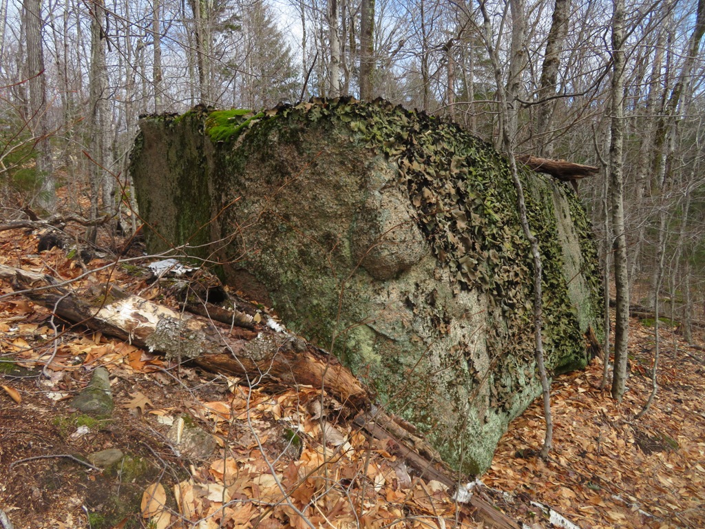
Yellow birch entmoot.
In the evening the snow on Livermore Trail was mush on either side of the emerging monorail, with postholes eating at the edges. Careful snowshoe placement needed. I think I'll start looking for some bare ground hardwood whacking...


