A full day's adventure with geologist Thom Davis, who is mapping the surficial geology of the USGS Mt. Moosilauke 7 1/2' quadrangle for the NH Geological Survey. When I suggested a bushwhack up into Slide Ravine, on the SW flank of Mt. Moosilauke, and a visit to the largest slide in the ravine, Thom quickly signed on. We left open the possibility of ascending to the top of the slide and whacking up to the Carriage Road on Moosilauke's ridgecrest.
We set off from the southern trailhead for Tunnel Brook Trail, off Long Pond Road, around 10:00, and strolled up that very pleasant trail, pausing for a look at the reservoir along Slide Brook, which serves the Glencliff Home.
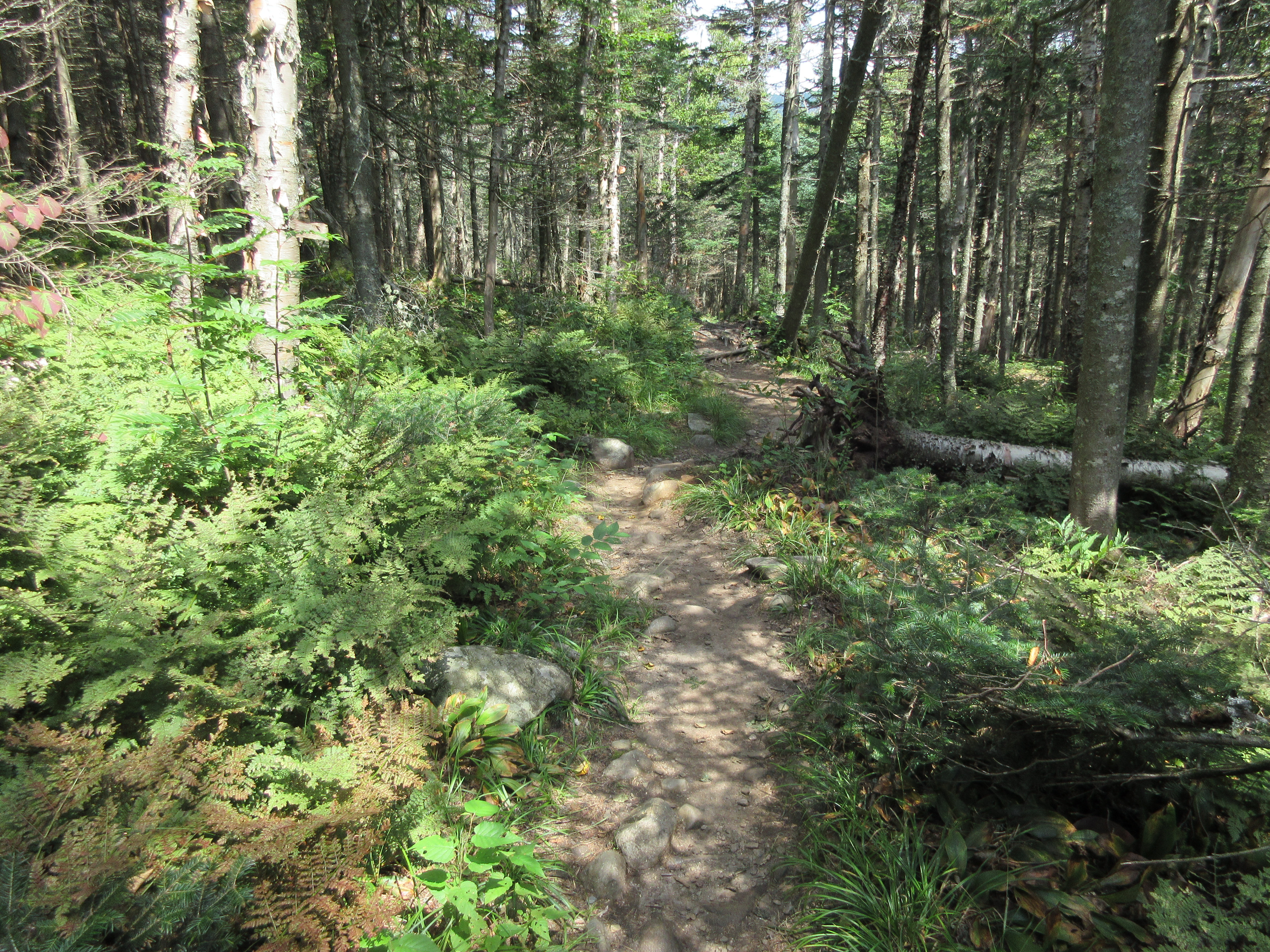
The Tunnel Brook Trail passes through much fine hardwood forest as it ascends through the lower Slide Brook valley
At 2.3 miles the trail reaches an opening on the shore of Mud Pond, the southernmost of a string of beaver ponds in Tunnel Brook Notch. Here we could see the upper part of the big slide we were aiming for. Moosilauke's South Peak is to the right.
We backtracked a bit, left the trail, and skirted the south edge of Mud Pond, gaining a view north into the notch.
A moose bed.
Meandering through nice hardwood forest in the broad lower part of Slide Ravine.
We cut across to Slide Brook and followed it up into the ravine through conifer forest. At this spot Thom noted the excellent exposure of glacial till in the brookbank.
Farther up the ravine we passed several nice cascades on the brook.
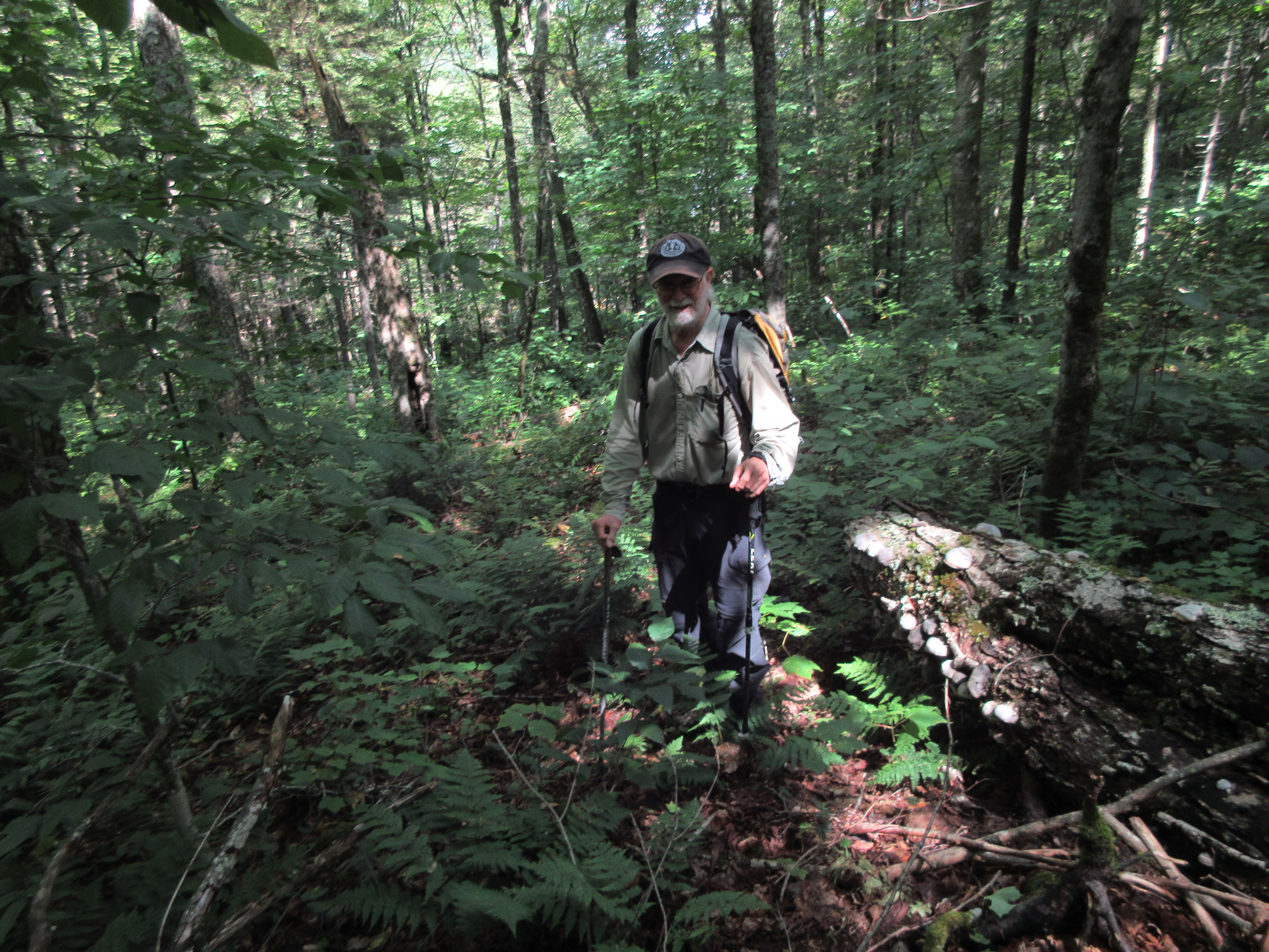
The woods in the ravine were generally pretty open, as seen here. Along the way we passed and in some places traversed several "debris flow levees," spines and heaps of rocks deposited when the ravine was ravaged by several landslides during the November 1927 storm and again during the September 1938 hurricane.
This lightly vegetated swath appeared to be the lower runout of one of the 1927 slides.
After about a mile of bushwhacking we reached the base of the big slide on the south side of the ravine.
Just upstream was this cascade on Slide Brook.
This was my fourth visit to the big slide. I remembered from a trip two years ago that a short way up, the slide track was blocked by an impassable cliff. So we climbed through steep woods to bypass the lower part of the track.
We then cut across to the track and followed it steeply upward.
Pearly everlasting, a common resident of slides.
We had to climb ~400 ft. in elevation from the ravine floor to reach the open part of the slide.
There it is!
First views west to Mt. Clough and distant horizons as Thom takes a break below.
Zoom on the tallest and steepest of the Clough slides.
Thom toils up the loose rock that typifies this slide.
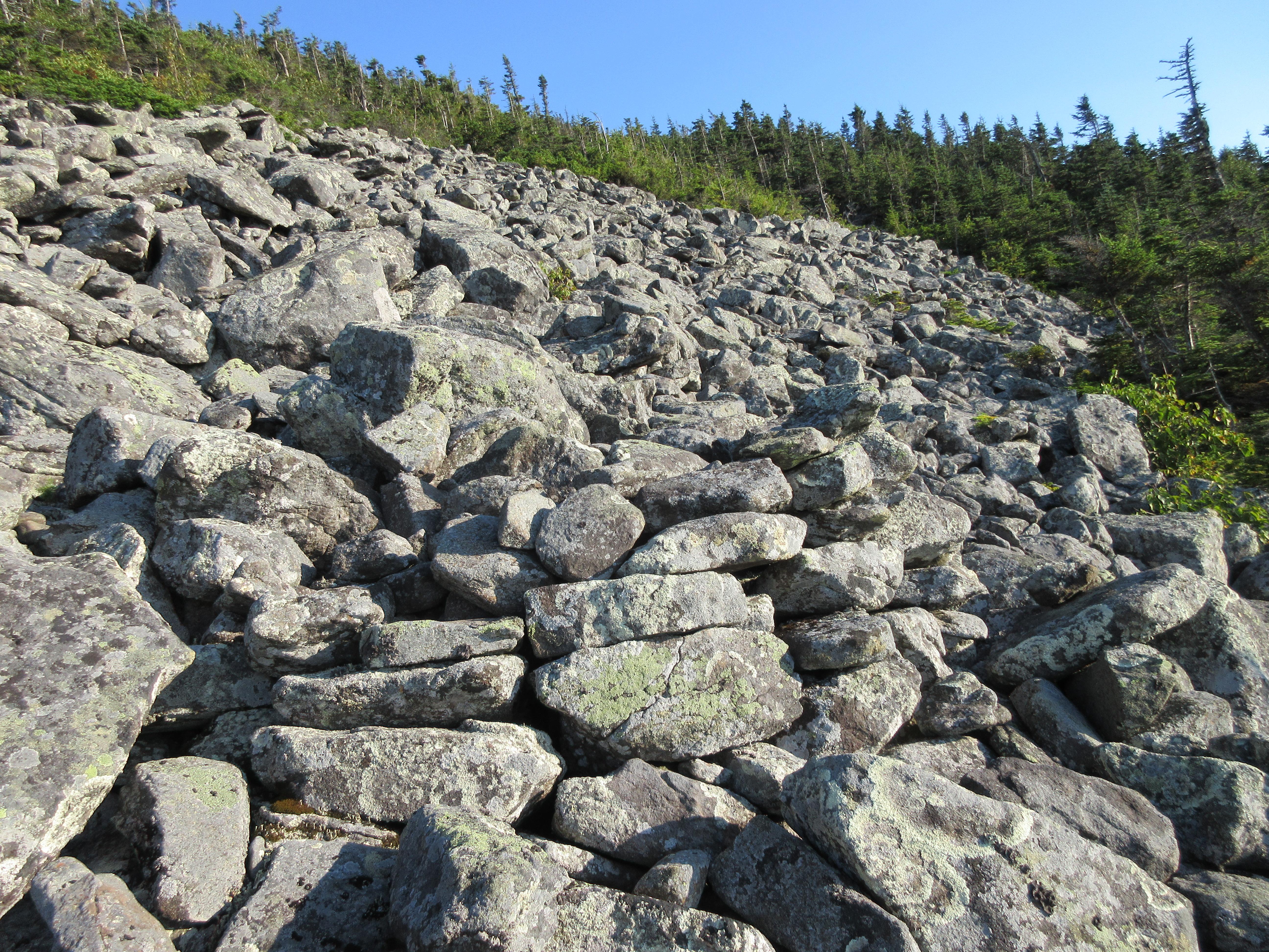
Side view. The average slope on this slide is ~34 degrees.
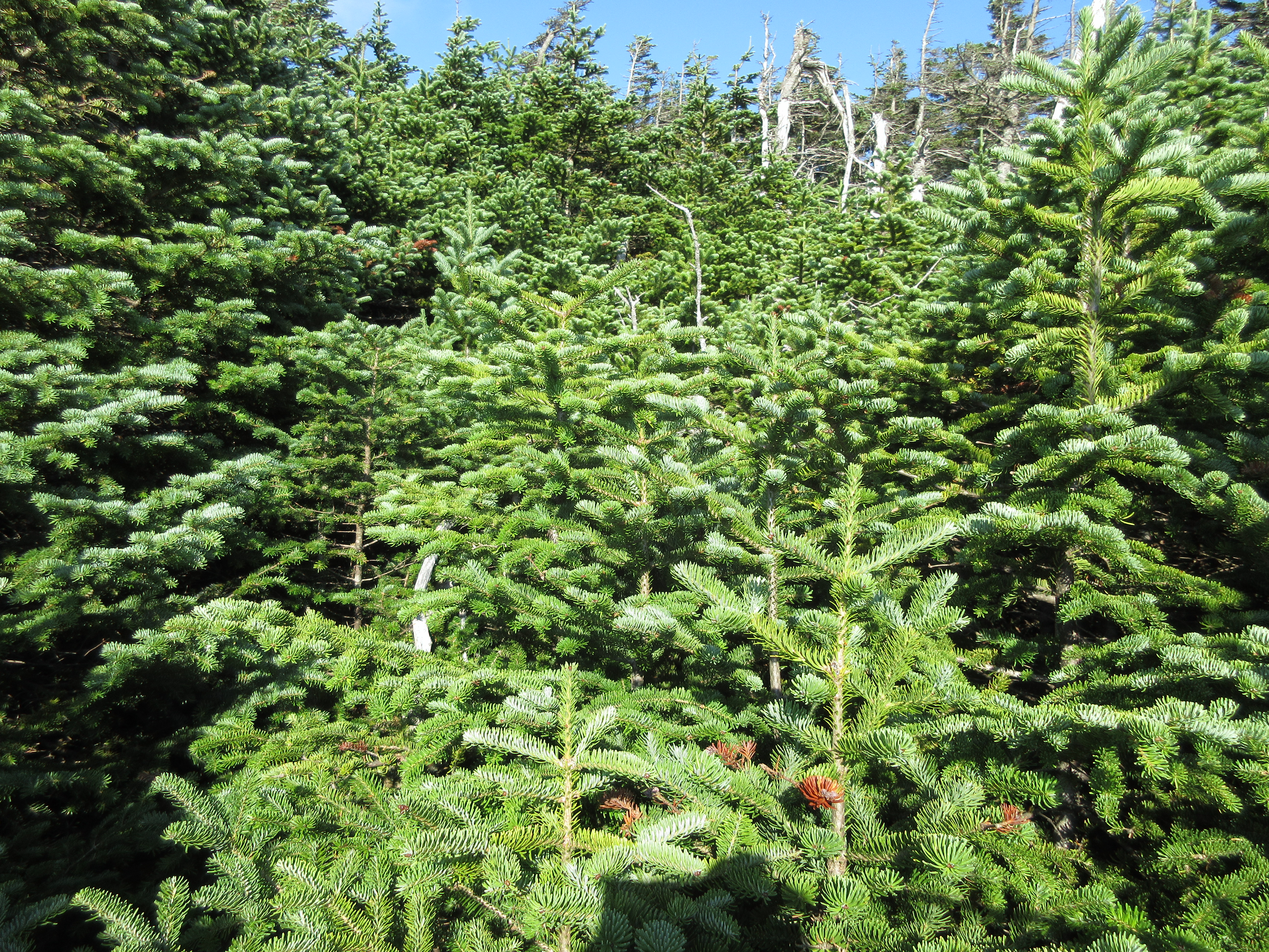
Wide and massive - the largest of the 1927 slides.
The loose rock makes for tricky footing.
Excellent bird's eye view of Mud Pond.
The highest and most open of several slides on the north wall of the ravine, which fell in the late 1950s. In 2014 John "1HappyHiker" Compton and I ascended most of the way up this slide.
Looking up from the edge of the slide.
Time for a break.
Top of the slide, at ~3800 ft. This was the first time I had climbed the slide to its apex.
View from the top.
Thom disappears into the scrub to begin the whack to the Carriage Road, ~800 ft. in elevation above. We approached this with a bit of trepidation.
Into the woods.
It was a long climb with some thick spots encountered.
But there was quite a bit of fairly open forest as well, and overall the whack was less difficult than expected.
A short stretch of Adirondack-style cripplebrush on the final approach to the Carriage Road.
We emerged separately on the Carriage Road around 5:00 pm - Thom well ahead of me - about midway between the main summit of Moosilauke and the South Peak. Due to the lateness of the hour we decided to forego the main summit, which we have both been to many times. Thom is the longtime adopter of the Glencliff Trail and he headed there to do some brushing on the upper section while I took the side trail to the South Peak for its unique views.

The main summit of Moosilauke from South Peak, with the cut of the Carriage Road winding up to "Middle Peak." There's a bit of Moosilauke history associated with the bushwack up Slide Ravine. In October 1942 a group of Dartmouth students led by James Hardigg bicycled from Hanover to Glencliff (due to gas rationing) and climbed one of the slides. As recounted in the program for the DOC Jubilee Program at Moosilauke in 1995, Hardigg wrote, “...we went along the base of the mountain past beaver ponds to the foot of the slide. Going up the slide, we were careful not to dislodge rocks that might trigger more sliding.” From the top of the slide they pushed for an hour through dense conifer growth to timberline. Looking to the left towards the summit, Hardigg saw “a slender tower, but no Summit House…The tower on the left peak appeared to have the proportions of a meteorological instrument tower.” Suspicious of German espionage activity, they crept northward through the scrub at the edge of timberline for three-quarters of an hour up to the summit. They discovered that the slender tower was the chimney of the Summit House, which had been struck by lightning and consumed in a fire. It marked the end of an era on Moosilauke.

Hazy, backlit, late-day view down to Mt. Clough and Tunnel Brook Notch, with the cuts of slides on the north wall of Slide Ravine visible in the middle distance.
Looking eastward to Mt. Bond, Mt. Flume, Bondcliff, and slide-scarred Whaleback Mountain.
Starting the 3 mile, 3000-ft, descent on Glencliff Trail.

Thom had cleared the short side path up to the talus slope just above the trail near the top of the steep, rocky "Agony" section of the trail. There are fine views west from here, as well.
Careful attention to footing is required on the rough and rocky upper half of Glencliff Trail. Down below, Thom caught up to his slower-footed companion after doing more brushing (thanks for your dedication!), and we completed a memorable hike by headlamp.