
CATSKILLS: FIR MOUNTAIN & BIG INDIAN MOUNTAIN, 4/24/17
On Monday I had warm, sunny spring weather for a 10-mile bushwhack and trail loop over Fir Mountain and Big Indian Mountain, two peaks on the Catskill 3500-footer list. The hike started with a 0.7 mile climb up the Pine Hill-West Branch Trail from CR 47.

It was already quite warm at 9:00 am. Spring had sprung in the Catskills.

Early wildflowers were blooming on this south-facing slope, including Dutchman's Breeches.

The less conspicuous Blue Cohosh was also in bloom.

And a few Trout Lilies as well.

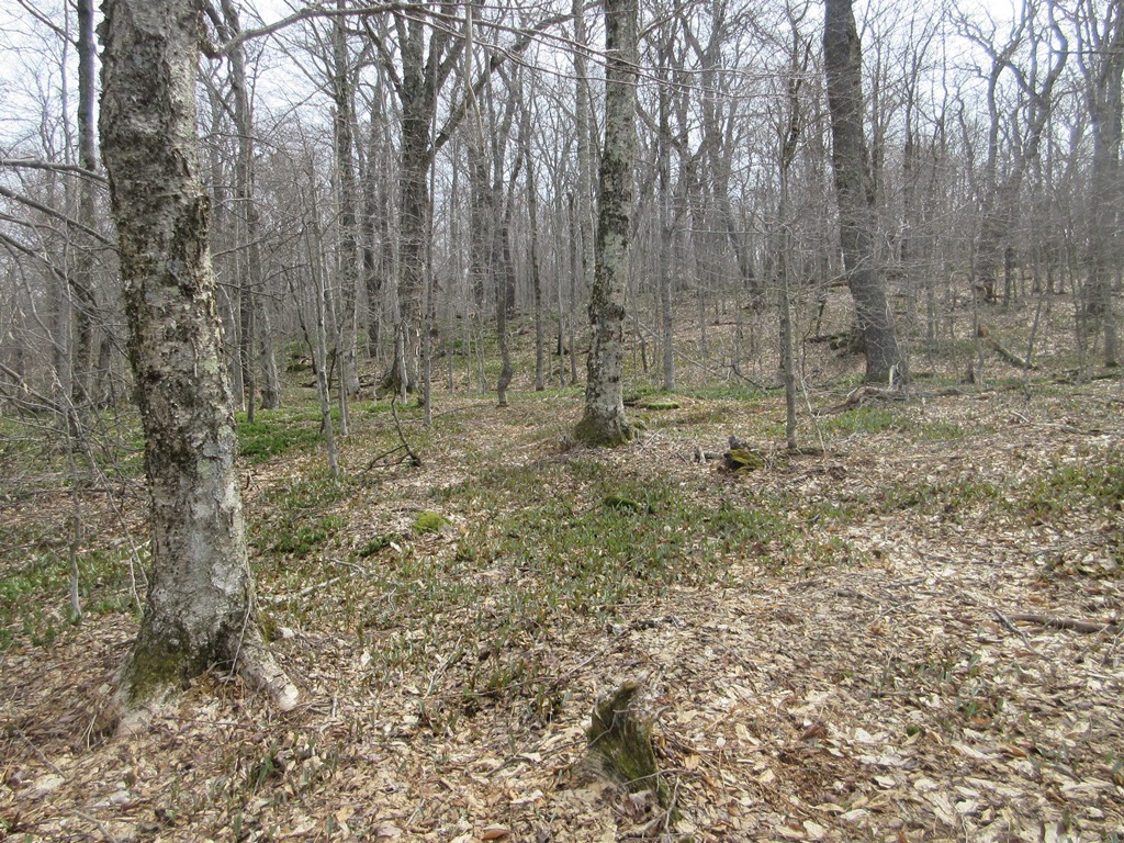
I passed this giant, shaggy sugar maple shortly after starting the 3-mile bushwhack up Fir Mountain's long, gently-rising south ridge.

Even hikers who loathe bushwhacking might enjoy this section of classic Catskill hardwoods.

A typical Catskill ledge band, found on nearly every ridge.

There are many large black cherry trees on this ridge. According to Catskill forest historian Dr. Michael Kudish, except for the lowest part, this ridge is cloaked in first-growth forest, never logged.

Hardwood heaven!
More black cherries.

The upper ridge was amply supplied with beech saplings.

Cool overhanging sandstone ledges on the approach to the summit of Fir.

Beeches grow right to the top.

The small clearing at the flat, wooded 3620-ft. summit of Fir.

The summit canister, maintained by the Catskill 3500 Club, is, appropriately, on a balsam fir.

The canisters are maintained by a 3500 Club volunteer.

Before heading across to Big Indian, I visited several neat fern glades on the west slope of Fir. These had caught my eye on Google Earth.

Another glade in the series.

Nice whacking heading down to the Fir-Big Indian col.

Descending to the col, I found a couple of view ledges at the head of the Biscuit Brook valley.

The first one had quite a dropoff to the forest below....

...and a partial view over the wild upper valley of Biscuit Brook.

Nearby was another ledge which offers the standing hiker a more open view.

The Biscuit Brook valley, enclosed by a long spur of Big Indian.

Big Indian in sight ahead.

The narrow Fir-Big Indian col is part of the Catskill Divide, separating the watersheds of the Hudson and Delaware Rivers. In the defined col there was a plain peakbagger's herd path, but much of the way between the summits there was no evident herd path on the broad ridge.

Neat gnarled forest heading up towards Big Indian.

Up on a shoulder of Big Indian I exchanged greetings with another solo hiker, bushwhacking in the opposite direction with his dog.

There were short scrappy sections of woods on the shoulder.

A little glade enclosed by ledges.

A final steep pitch up the little summit cone of Big Indian.

Big Indian is reputedly viewless, but I stumbled upon a fine outlook ledge on the SE side of the summit knob.

It had a nice view out to distant ridges beyond the Biscuit Brook basin.

Especially interesting was the view of Slide (the Catskills' highest), Rocky, Lone and Table Mountains, plus part of Peekamoose.

Slide, King of the Catskills.

There was also a peek at the back side of Giant Ledge.

The canister at the summit of Big Indian (3700 ft.). This wooded peak is most often accessed by a short, well-trodden herd path from the Pine Hill-West Branch Trail.

Summit logbook.

I descended 4.6 miles on the Pine Hill-West Branch Trail, which offers fine ridge walking before dropping into the Biscuit Brook valley.

Down in the valley, there are many views of Biscuit Brook, a typically attractive Catskill stream.

A pretty spot where the brook splits into two branches.

A great stretch of walking.

Rapids on Biscuit brook above the Biscuit Brook Lean-To, which was occupied by a sizeable group.

Alpenglow near trail's end, wrapping up a fine day in the Catskill woods.


