
Hiked in from Carter Notch Road to the south end of the Wild River valley and made a long bushwhack loop to a pair of ledgy knobs and a scenic beaver meadow. The trip was highlighted by early foliage colors, endless birch glades, and abundant moose sign.
The trailhead for Bog Brook Trail at the end of Carter Notch Road was moved a few years ago to a better parking location.

There are eight brook crossings each way along the Bog Brook Trail; all were easy rock hops with low water, including this one of the Wildcat River.

A pleasant section along the Bog Brook Trail. It has its muddy moments, too.

You pass by this pretty wetland just before the junction with Wild River Trail.

Bog Brook/Wild River junction, 2.8 miles from the trailhead.

Leafy walking on the Wild River Trail.

I began the bushwhack off the Rainbow Trail and immediately launched into the first open birch glade.

These glades were relentlessly scenic, but they made for slow going due to constantly pushing through knee-high to chest-high ferns and shrubs, with uncertain footing beneath.

Wild beauty in every direction.

These birches seeded in after the great Wild River fire of 1903. Now they are reaching the end of their lifespan. The understory vegetation is flourishing.

I passed at least a dozen moose beds in the course of the 3 1/2 mile bushwhack, and came upon numerous moose paths. The possibility of encountering a bull moose out there, during the rutting season, was always in the back of my mind. I sighted three different bull moose out here during two summer (non-rutting season) bushwhacks in the 1990s.


Tall grasses signified swampy areas.

Many areas were carpeted with tall, bronzed bracken ferns.

This meadow extended well up the slope.

A glimpse of the Baldfaces.


Soft green ferns.

This might have been my favorite birch glade of the day.

A riot of ferns.

Changing color.

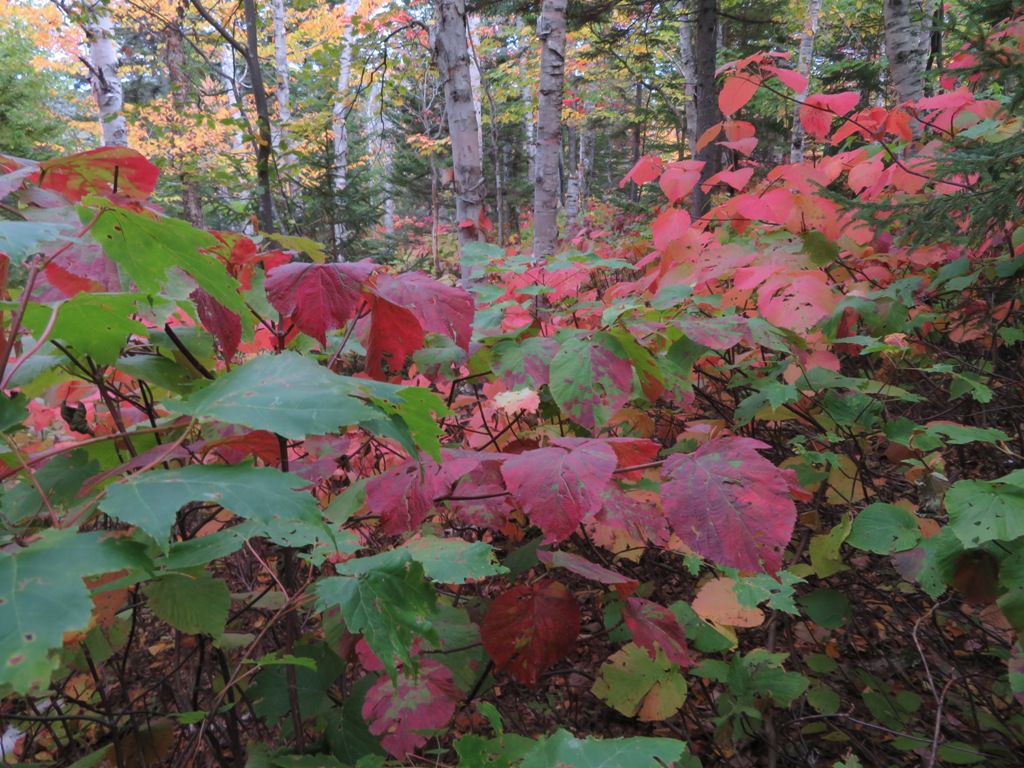
Red hobblebush fringes Red Brook.

Gateway to the ridge.

Another moose bed.

The first ledgy knob in sight ahead.

Glade view of the Baldfaces.

These might have been bear tracks.

A craggy perch looking up at Rainbow Ridge. While sitting on this ledge, I heard from below what I believe was the mating call of a cow moose. Almost sounded like a human voice.

View across the Red Brook basin: Sable, Chandler, Kearsarge North, Doublehead and Black.

Beaver meadow in the Red Brook basin.

The Sandwich Range framed by Perkins Notch.

Baldfaces.

Rainbow Ridge, Carter Dome and Mt. Hight.

A cirque-like bowl at the head of Spruce Brook, between Carter Dome and Hight.

Moose have apparently been enjoying the views.

Heading down the open scrubby ridge.

More ferns 'n birches. Lovely, but slow going.

The next knob looms ahead.

Red maples light up a glade.

Rocky col.

Long view up the Spruce Brook valley to the Carter Dome massif.

Nice color on a spur of Mt. Hight.

Rock portrait.

Rock of Gibraltar.

Broad view down the Wild River valley.

Shelburne Moriah in the distance.

West Royce (in shadow), Speckled Mountain and Meader Ridge.

Across the valley to the Baldfaces and Sable.

South to Black Mountain and Perkins Notch.

Hello hobblebush, my old friend.
Several types of ferns on this journey.

An open spruce grove was a welcome change.

This might be a rut pit or wallow, dug by a bull moose with its front hoofs as part of the mating ritual.

On the valley floor I visited one of several beaver meadows that dot the Red Brook drainage.

A nice scene to remember before heading back into the woods for the long walk home.

