
CATSKILLS - VLY & BEARPEN MOUNTAINS: 4/23/16
On Saturday, our last day of vacation, I took a solo hike to two more Catskill 3500-foot peaks, Vly Mountain and Bearpen Mountain, located outside the NW edge of the Catskill Park. Both summits are in the Bearpen Mountain State Forest, though the slopes are largely privately owned. I approached from the end of County Route 3 on the north outside Prattsville, where a parking spot is shown on the NY/NJ Trail Conference map. The hike begins with a steadily ascending slog up a hardpacked woods road/snowmobile trail to the Vly/Bearpen col, rising 1150 ft. in 1.3 miles.

On the lower third of the climb the land on the right is owned by the New York City Dept. of Environmental Protection. There are NYCDEP parcels scattered in various places around the Catskill Park; many are open for public recreation.

Slow and steady gets the job done on this kind of climb. The upper part is in the state forest.

At the col, the well-worn herd path to Vly Mountain leaves on the left at some bright blue blazes. This path originally developed along a blazed property line, but these new, overly profuse and bright blazes seem intended to mark the trail.

Vly Mountain doesn't seem to get a lot of love, but I really enjoyed this path as it wound up through several ledge bands with some light scrambling.

By poking around off to the side I was able to find an occasional vista.

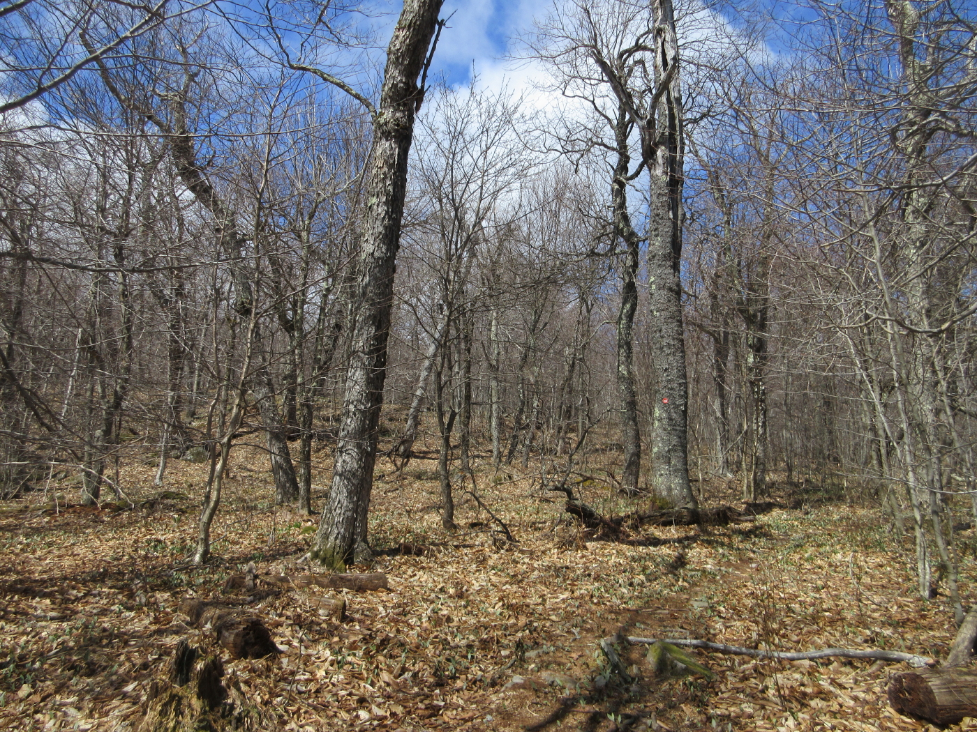
Another ledge band.

The path traverses a flat shoulder with the summit in sight ahead. The route climbs 500 ft. in the last 0.3 mile.

A look back at Bearpen Mountain, the day's second objective.

A dancing pair of gnarled hardwoods.

Black cherries, a common denizen of the hardwood ridges.

This sentinel boulder is the site of a cool geocache titled "I Spy on Vly."

A guardian of the summit plateau.

The small clearing at the 3529-ft. summit.

The Catskill 3500 Club canister.

Signing in is one of the rewards on the "trailless" peaks.

A nice spot for a break just south of the summit.

A patch of first growth (never cut) forest surrounds the summit of Vly. The mountain's name is a Dutch word for swamp or marsh.


A well-camouflaged geocache hidden off the herd path on the way back to the col.

Skies were clearing as I headed up to Bearpen Mountain from the col on a steep continuation of the snowmobile trail

A herd path cuts off some of the distance on the snowmobile trail, but I veered off too soon on the wrong path and ended up bushwhacking up a steep slope to gain the correct one.

Once I found the correct path, it provided delightful walking on a high hardwood shoulder.
Farther up, the route rejoined the snowmobile trail, and I stepped aside for a couple on an ATV.

The 3600-ft. summit of Bearpen is exceptionally flat, and it's hard to tell where the actual high point is.

The Princeton Snow Bowl ski area operated on Bearpen in the 1950s, and some of the rope tow equipment is still rusting in the woods at the top.

The tops of some of the old ski trails are still open and provide views such as this look at Windham High Peak and the Blackhead Range.

The best views are from a couple of excellent ledge perches near the summit, including this one overlooking the lesser-known western Catskills.

The Bearpen Range stretches away to the north.


I relaxed and tried to identify the many unfamiliar peaks and hills to the NW and west.

The Plattekill Ski Area can be seen on the left.

Cool jutting ledges.

A nearby ledge opened a vast view to the north.

On this clear day I could see the ridges of the southern Adirondacks lining the northern horizon.

The Huntersfield Range is prominent to the NE.

The snowmobile trail leading back along the ridge.

A truck chassis from bygone days.

On the way back I scrounged along the south edge of Bearpen's eastern shoulder and found a partial view of Doubletop, Graham, Belleayre, and Balsam Lake Mountains.

Peering SE to Vly Mountain.

Nice late afternoon light.

This hunter's cabin is a landmark in the Bearpen-Vly col.

A last look at Vly on the way down from the col.


