Climbing the Downes Brook Slide on the north side of Mt. Passaconaway is becoming an annual winter trek for me. With good cover, it's an enjoyable and at times challenging place to snowshoe. For this hike I was joined by Cath Goodwin, who in the past has been on this slide, but only on cloudy days when the views were obscured.
The two unknown factors as we set out on a 5 degree morning (but warming into the 20s with no wind) were 1) whether the Downes Brook Trail was broken out and 2) whether there were snow bridges on the four crossings of Downes Brook. It turned out that there was one set of old snowshoe tracks in-and-out almost to the point where we left the trail for the slide, which made things easier, and, thanks to the recent spell of cold weather, there were good snow bridges for the crossings.
Snow mounds on Downes Brook.
Navigating crossing #2.
After the fourth crossing, into the Wilderness we go.
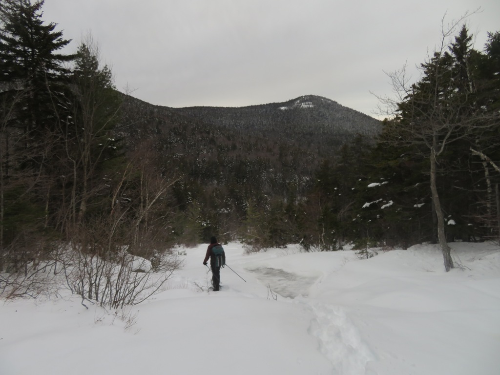
A long straightaway on an old logging road.
Snowshoeing up the tributary brook towards the slide.
Detouring around a big ledge step at the base of the open slide.
The
Downes Brook Slide, also known as the Passaconaway Slide, fell in the
early 1890s and for many years was the route from Albany Intervale to
the summit of Passaconaway, becoming known as the Downes Brook Slide
Trail or Passaconaway Slide Trail. The ledges of the slide are very
slippery in summer. A warning was added in the 1940 edition of the AMC
White Mountain Guide: “This trail is dangerous, especially
after a rain, and is not recommended to amateur climbers. It is not
signed for this reason.”
Because of this danger, and also due to the
very steep, mossy, erodible section in the woods above the slide, the
trail was abandoned in 1957. About 1990 unknown parties
attempted to unofficially reopen the trail, painting blazes on the
ledges of the slide and posting signs at both ends. Subsequently the
USFS, in cooperation with the Wonalancet Out Door Club, obscured the
unauthorized blazes and posted signs noting that while public use of the
area was welcome, unauthorized maintenance of this closed trail was
illegal and subject to fines. With the right conditions, the ledges of
the slide are suitable for experienced snowshoe bushwhackers, and there is virtually no
impact on the area.
The wide slabs on the lower slide become a great snowfield in winter. Potash Mountain is in the background.
Making tracks.
Patterns in the snow.
Side trip to catch some rays.
A peek at the Presys behind Mt. Tremont.
Snowy Pierce and Eisenhower.
Up through the woods to bypass another ledge step.
The northern crags of Mt. Passaconaway are seen high above.
Zoom on the crags, location of the fabulous north outlook on Mt. Passaconaway, reached by a spur off the Walden Trail. In his classic 1916 book, Passaconaway in the White Mountains, Charles Edward Beals, Jr. called it a "lofty
eagle-nest of a cliff."
Butter rum ice, Cath called it.
Heading up a canyon-like section.
Skirting the top of a headwall.
Looking down the headwall into the canyon.
There's a flat spot at what was once called "the turn of the slide." A right turn here onto the west fork continues the track of the 1890s slide. Ahead is the track of the more recent (1938?) east fork of the slide.
Nice view of Hancock and its long east ridge, with the two glacial cirques well-displayed.
Taking in the view from the top of the first of two steep slabs on the west fork of the slide.

We discussed the idea of snowshoeing up the second and larger steep slab, but decided against it as there could have been hidden ice bulges below the slippery sugary snow.
We approached the top of the upper slab with a steep, strenuous climb through the woods.
The exceptionally clear view to the north made it worth the effort.
Zoom on Mt. Washington behind Mt. Tremont.
Mt. Carrigain and Carrigain Notch behind Potash Mountain.
We descended carefully to a lower perch for a different perspective.
We obtained these views from the uppermost open slab of the slide. Above here (2800 ft.), the slide track is now wooded. Photos of Mt. Passaconaway taken from Albany Intervale in the early 1900s show the open slide track extending quite a bit farther up than it does today.
Back down at the turn of the slide.
Heading down the lower slabs. Later, at home, I re-read a passage from White Mountain Holidays, by Richard A, Hunt, published in 1941. In the chapter, "Passaconaway," Hunt described a climb (presumably in the 1920s or 1930s) up the Downes Brook Slide Trail:
"At last we arrived at a point where the log road was torn to pieces and we were confronted by a scene of desolation, where a mammoth landslide had torn through the woods and left boulders and broken trees in its wake...Towering for nearly a mile before it bent out of sight into the woods, were the naked cliffs that were the base of the mountain, stripped by the landslide of all covering...
The slide itself was fascinating, showing on the scarred ledges the the effects of the terrific force of nature that has made this gash in the mountainside. Nearly an hour's climbing brought us to a right angle turn in the slide which was apparently caused by ledges solid enough to divert but not impede the downward rush of the slide...As we continued upward, the scar became much narrower, until at last we identified the spot where some small rock, loosened in its hold on the mountain side, had started downward carrying everything with it."