
Rendezvoused with Ray "Jazzbo" Caron in Tunnel Brook Notch for a bushwhack to the biggest of the several slides in Moosilauke's Slide Ravine.
I approached on Tunnel Brook Trail from the north and Ray came in from the south. It was a shorter drive for each of us, and I wanted to check the condition of the trail along the beaver ponds in the notch. Along the overgrown section of Tunnel Brook Trail/Road were these tall sunflowers.

Approaching the notch, I went off-trail to an abandoned beaver pond that has become a mud flat. The top of one of the slides on Mt. Clough can be seen in the background.

Bear tracks in the mud.

Three of the eight slides on Mt. Clough can be seen from the northernmost beaver pond along the trail.

The largest slide is in full view here.

Zoom on part of the slide. In 1933 two fossilized brachiopods from the Devonian era (~400 million years ago) were found by geologists on one of the Clough slides. I've been trying to determine which slide, but have come to no definitive conclusion yet.

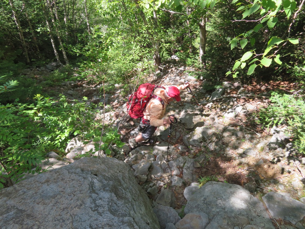
Brushy section of Tunnel Brook Trail.

One of the seven or eight beaver ponds in the notch.

Looking south down the notch.

I met up with Ray by the next pond.

We took a break by the shore of Mud Pond and looked up at our objective in Slide Ravine. Moosilauke's South Peak is seen right of center.

The big slide.

View north into the notch from the south end of Mud Pond, near the start of our bushwhack.

Recently used moose bed.

Ferny hardwood glade.

Ray in the hardwoods.

Twin cascades on Slide Brook.

A lovely watercourse.

Ray admires another cascade.

This weedy swath may be the overgrown runout from one of the many old slides in aptly-named Slide Ravine.

Cascade on Slide Brook near the base of the big slide.

This narrow, overgrown track at the base barely hints at the monster slide above.

A massive ledge on the slide track. We would have needed ropes to scale this.

Ascending steeply in the woods around the dropoff.

Back on the slide track.
Looking up.

As the track widened and loose rock became more prevalent, we climbed side by side.

The open slide in sight above, after a steep 400-ft. ascent.

It is a massive, rubbly slide.

A natural stone wall.

Views
were spectacular on this cool, breezy, crystal-clear day. From the
slide you peer down at Mud Pond with slide-scarred Mt. Clough behind.

Mud Pond.

The Green Mountains were easily visible, including the Killington Range...

...and Camel's Hump behind the Signal Range.

Down-look.

Looking up to the top of the slide.

The footing on this slide is best described as treacherous. Nearly every rock is loose, and there is virtually no exposed berock. This was my third visit to this slide, and it seems to get a little harder each time.

Vegetation struggles to gain a foothold here, nearly a century after the 1927 storm that unleashed the slide.

Side view.

Ray is Lilliputian in the slidescape below, in line with Mud Pond.

From this vantage I could see the four slides on the north wall of the ravine. There are four more on the south wall and another on the headwall. All except the big one are partly or mostly revegetated.
In 1942 it was Dartmouth students ascending one of these slides who discovered that Moosilauke's Summit House had been struck by lightning and consumed in a fire.

The largest of the north slides, which I visited with John "1HappyHiker" Compton in 2014.

After a very slow and careful descent back to Slide Brook,we checked out the base of one of the other north slides. No time to get up to the open ledge patch above.

Farther down the valley, another slide track (on the right) joins the brook from the south wall

Ray in the hobblebush.

Back at the south end of Mud Pond.

Looking back at where where we were a few hours earlier.

The big slide, all lit up.

Evening in the notch.

Last view back to South Peak.

