On Friday, October 21st six of us enjoyed a gorgeous sunny fall day for the 34th annual
White Mountain Crop Hunger Walk, a "hike for hunger" that benefits the
programs of Church World Service. This year's participants included Thom
Davis, Dennis Lynch, Mary Ann McGarry, Candace Morrison, Gary Tompkins, and this
correspondent. We missed longtime participant Roger Doucette , who wasn't able to join us this year. Our route was a nine-mile loop over the wild, less-frequented Crescent Range, just north of the Presidentials, on a network of trails admirably maintained by the Randolph Mountain Club (RMC). The Crescent Ridge part of the route is within the 10,000 acre Randolph Community Forest.
The Church
World Service CROP program began in 1947 and the first CROP Hunger Walk
was held
in 1969. Each year walks in more than 500 communities raise more than $6
million for CWS hunger programs. For more information see
www.cwsglobal.org.
Ours is the only Crop
Hunger Walk that takes place on mountain trails. Since its beginning in
1989 our walk has raised more than $97,000 for
the anti-hunger programs of Church World Service, with more than $24,000
of that provided to local food pantries in the western White Mountains.
We owe the success of our walk to the consistent generosity of our
sponsors. The CROP Hunger Walk theme is “Ending hunger, one step at a
time."
We set out around 9:00 am at the Ravine House site trailhead on Durand Road in the valley section of Randolph. Left to right are Candace, Dennis, Thom, MaryAnn and Gary.
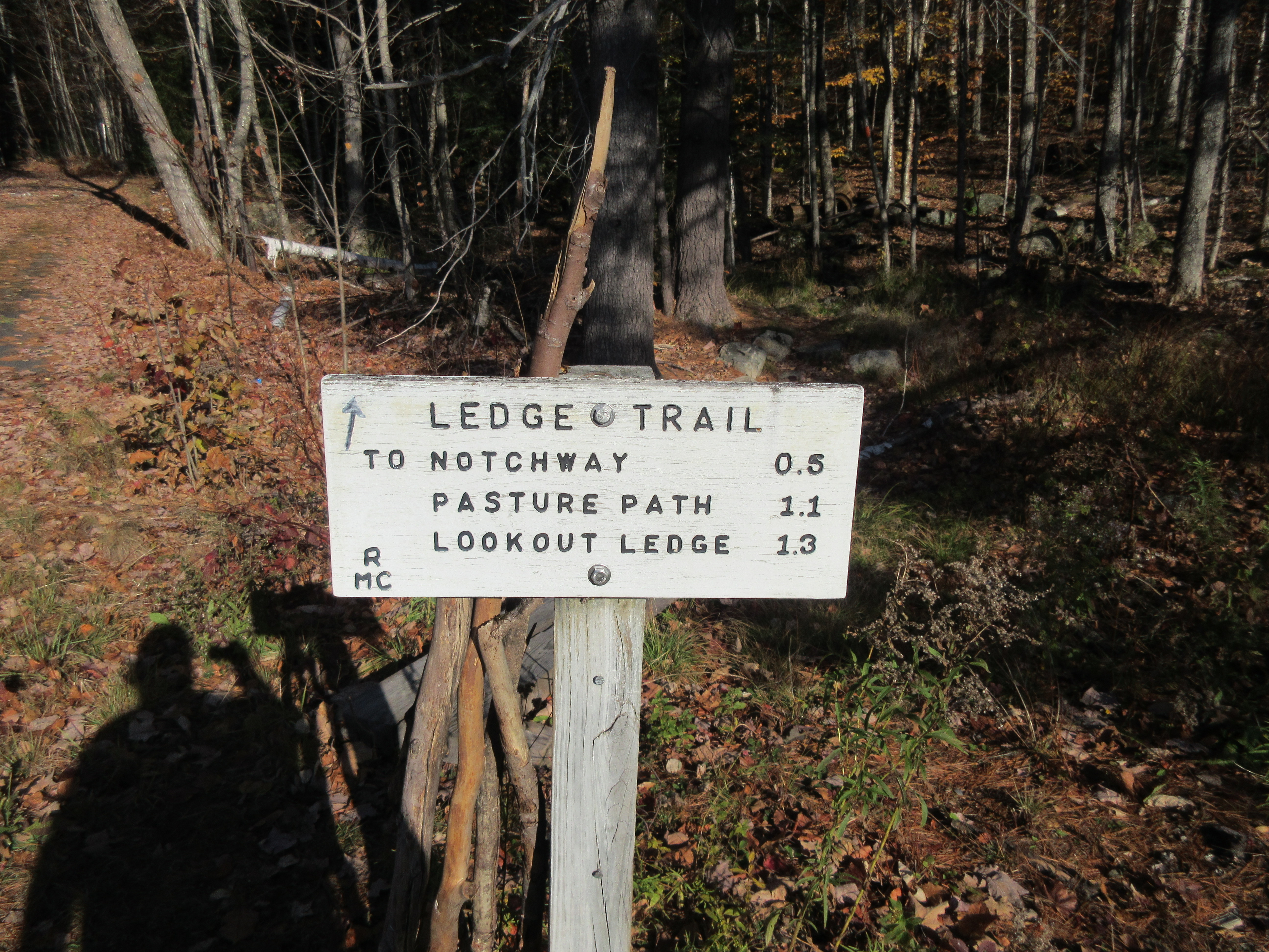
The first part of our loop was a 1.3 mile climb up the Ledge Trail to the fine viewpoint known as Lookout Ledge.
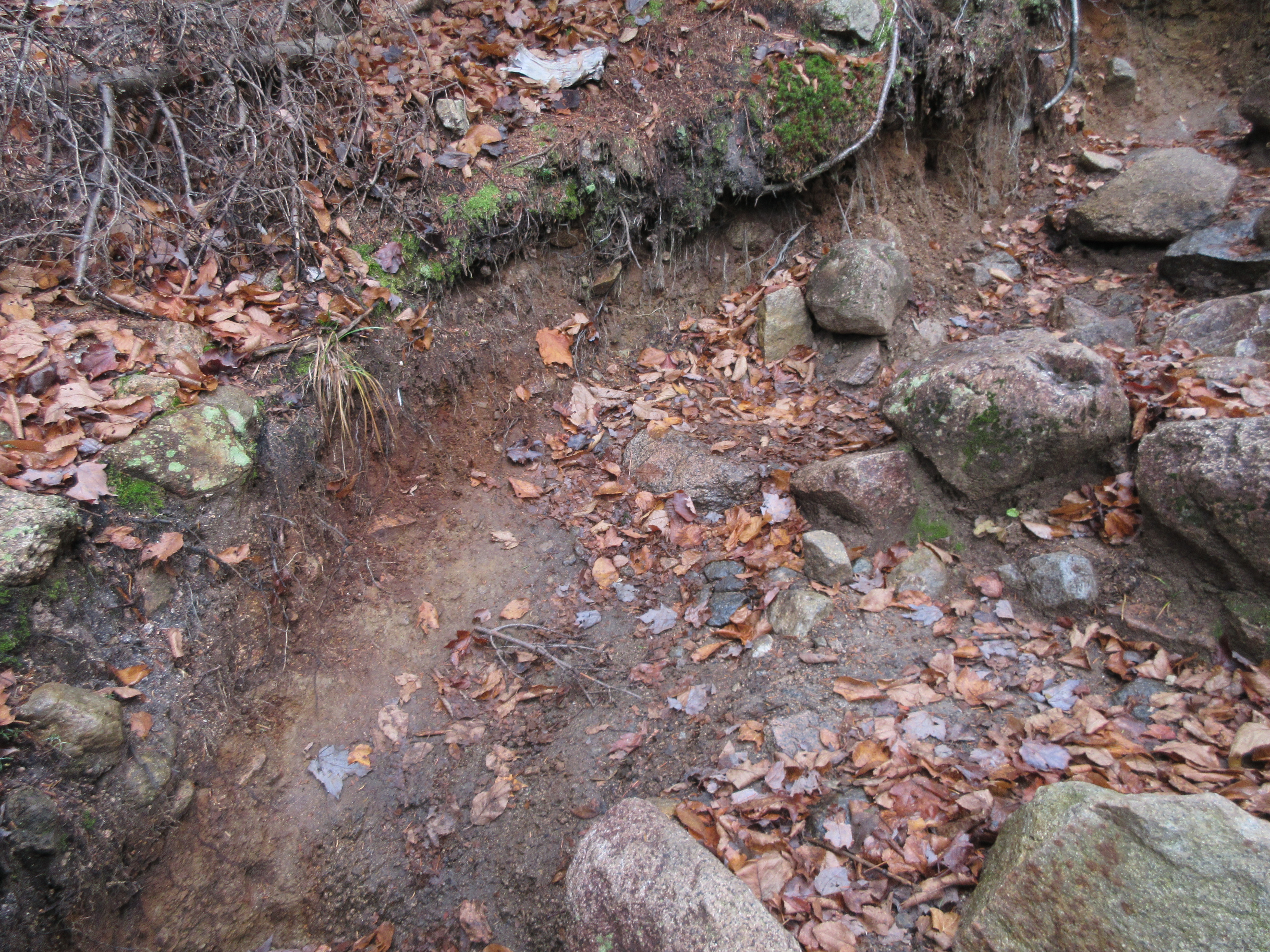
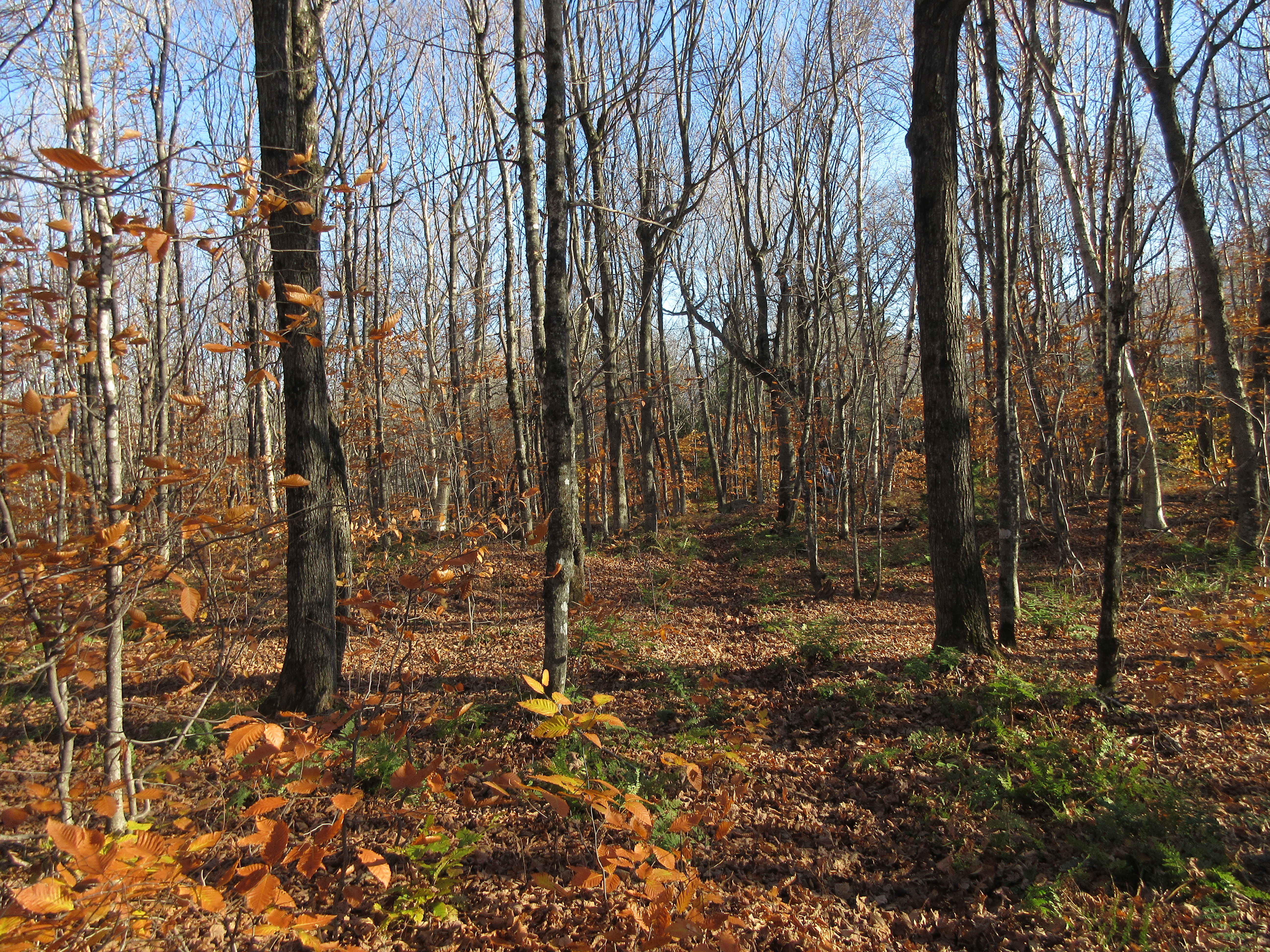
Climbing through a bronzed hardwood forest with a deep, dry leaf mat on the trail, making for tricky footing.
Approaching Lookout Ledge, we passed this small outlook towards Mt. Adams called The Eyrie.
Lookout Ledge is a wonderful sunny spot with excellent views. Behind our group one can see Pine Mountain, Mt. Moriah and part of the Carter Range in the distance.
The classic view from Lookout Ledge peers across the Randolph Valley to Mt. Madison and Mt. Adams, with a dramatic look into the glacial cirque of King Ravine. Unfortunately at this time of year the angle of the sun is low and the vista is shadowed and backlit.
After a nice break in the sun, we headed up the Crescent Ridge Trail towards Mt. Randolph, with one steep scrambly pitch along the way.
An RMC sign marks the heavily spruce-wooded summit of Mt. Randolph.
Bullwinkle was here.
A beautiful hardwood glade heading north along the ridge.
After a steep climb we reached the next outlook along the ridge.
Thanks to some recent clearing by the RMC of what was an overgrown viewpoint, you can once again see Mt. Lafayette, in the distance on the far right. Also visible are North and South Twin, the Dartmouth Range, and Mt. Bond.
The three Northern Presidentials are seen to the left of nearby Mt. Randolph.
A comfortable spot in the sun for a lunch break.
Farther along the ridge was this gnarled old yellow birch in a meadow-like opening.
A bit farther along, off to the right, is one of the ski runs of the Crescent Ridge Glade, maintained by the Granite Backcountry Alliance.
Ascending to 3251-ft. Mt. Crescent, our high point of the day.
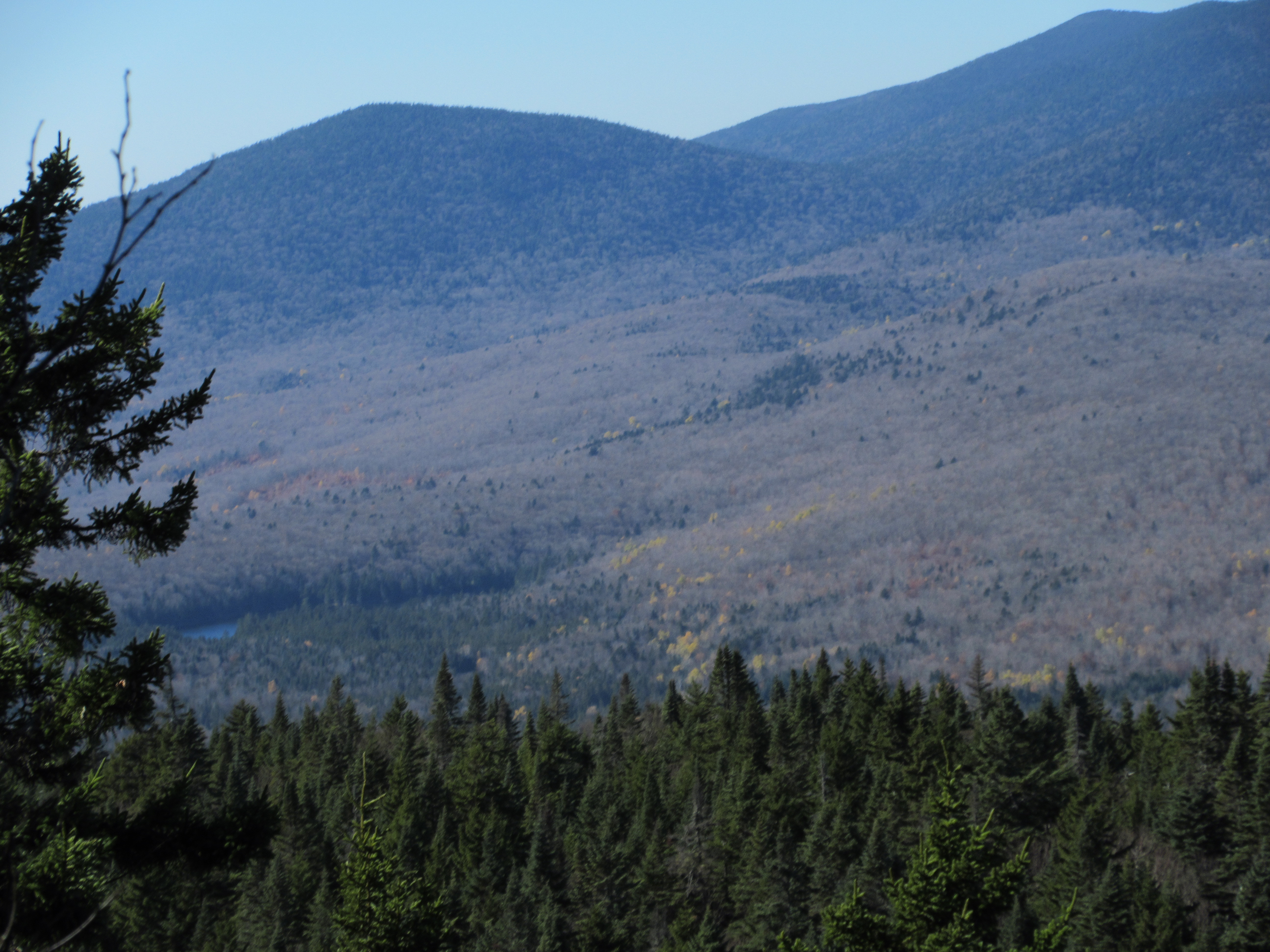
The North Outlook on Mt. Crescent is one of my favorite vistas in the Whites.
Here you have a unique, sweeping view across the valley of the Upper Ammonoosuc River to the peaks of the Pliny Range (Pliny Mtn., Mt. Starr King, Mt. Waumbek and South, Middle and North Weeks) and the Pilot Range (Mt. Cabot, the Bulge, The Horn and Unknown Pond Ridge).
Zoom on Mt. Cabot, with its great talus slope, The Bulge and The Horn.
There's a glimpse of the Pond of Safety, tucked in under Pliny Mtn.
To the northeast is Black Crescent Mountain, the highest peak in the Crescent Range. The cliff and talus slope on its southwest side was once known as the Crescent Scar.
Back in March 2009, John "1HappyHiker" Compton and I undertook a snowshoe bushwhack to the Crescent Scar, finding this closeup view of it along the way.
Turning onto the Mount Crescent Trail, we enjoyed a gentle ramble through boreal forest across the broad summit of the mountain.
Over here is the mountain's other outlook, looking south to the Presidentials.
At this sunny, ledgy opening Gary set up his camera for our group shot.
Then it was time to undertake the very steep descent off the summit. The first ledge scramble going down is a doozy.
Beyond the lower junction with Crescent Ridge Trail, the Mount Crescent Trail mellows out in hardwood forest. The thick leaf cover concealed rocks, roots and the occasional hole and made for slower going on the lower elevation trails.
We made a short side trip on Castleview Loop to Castleview Ledge, and another fine view of Mts. Madison and Adams.
After looping around on the Peek Path and Cook Path down to Randolph Hill Road, we descended a short, delightful bit of road known as Grassy Lane.
We then meandered down a series of "pleasure paths" to Durand Road: Pasture Path, EZ Way, Diagonal and Bee Line.
Some interesting history at the trailhead.
Happy to have completed a great hike, exiting before dark. Thank you for your support!