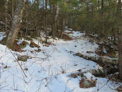
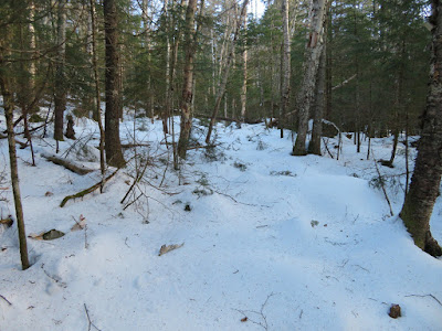
Taking advantage of the current combination of bare ground/thin cover down low and hard-frozen snow above 2000 ft. - excellent conditions for bushwhacking - I returned to the Snows Brook valley and did a bushwhack-and-trail loop over Snows Mountain. Highlights of the day were limited but interesting views, a wonderful high-elevation hardwood glade, and a number of remarkable old trees.
I reprised the approach up the Snows Brook valley from the previous week's Lost Pass journey, taking Waterville X-C ski trails and the abandoned and partly overgrown Snows Brook Trail. Not far from the XC trails I found this partly buried old wheel.
A small cascade on Snows Brook.
The 1920s logging camp site well up in the valley, which I had first visited the previous week.
I spent some time poking around and found some more (protected) artifacts. Perhaps this was part of a stovepipe.
Not sure what this item was.
Might be part of an old bed frame.
Snows Brook.
I bushwhacked across a broad part of the valley to begin the steep ascent to the Snows Mountain ridge.
A towering white ash.
A wide-spreading shelf fungus.
Starting the climb through mixed woods.
The slope became very steep, rocky and rough. Time to traverse westward to find better going.
Ah, here's the hardwood slope I was looking for.
A gorgeous stand of high-elevation sugar maples.
The first of two old logging roads that cut across this slope. Flat Mountain North is in the background.
Could be spring in the Catskills.
Suspended.
The monarch of Snows Mountain.
Shelf fungus art.
Vivid moss.
Great whacking.
Fern glade.
I reached the broad ridgecrest about a half-mile west of the true summit of Snows, and a half-mile east of the upper end of the Snows Mountain Trail.
The snow was rock-solid, making for superb bushwhacking conditions. Today I wore Stabilicers trailhead to trailhead. Here I crossed tracks with what I thought was a coyote.
I spent some time wandering along the ridgecrest. I went a little ways to the east before turning around.
I wondered what made these old tracks, distorted by melting.
There is a healthy growth of hobblebush on this ridge.
What's a bushwhack without seeing some bear tracks.
Many magnificent old yellow birches grace this ridgecrest.
The viewpoint on the spur at the top of the Snows Mountain Trail was bathed in sunshine, but the views are limited. Seen here are the SW peak of Flat Mountain North on the left and Sandwich Dome on the right.
The spur path to the outlook. No recent hiker traffic.
Another stalwart of Snows Mountain.
I poked around the north side of the ridge and eventually found this view of Middle and South Tripyramid through a break in the forest.
It's not an "official" 4000-footer, but South Tripyramid is a favorite peak of mine.
Signs at the top of the Snows Mountain Trail. Starting around 1899 there was intermittently a rough, little-used path up Snows Mountain, but this was abandoned in the early 1900s. After a new link to the Woodbury Trail (a long route from Waterville Valley to Mt. Whiteface) was opened along the northern base of Snows in 1907, a side trail was cut to "Snows Mountain Outlook", a viewpoint farther west and lower down on the ridge. For a time this was a popular short hike for guests at the Waterville Inn, but it has long since been overgrown. The present loop trail over the west half of Snows Mountain was opened in 1960-1961 by the WVAIA.
Old-style WVAIA sign a short way down the southern side of the loop trail.
There's a nice vista over the town of Waterville Valley to the Mad River valley and Mt. Tecumseh.
I carefully wormed my way down to a precarious clifftop with a view across the Snows Brook valley to Sandwich Dome and Jennings Peak beyond spur ridges of Flat Mountain North.
Late afternoon sun along the southern half of the Snows Mountain Trail.
Nearing sunset.


