PAUGUS BROOK VALLEY: 11/19/10
Three objectives beckoned for this hike on the south side of Mt. Paugus and Mt. Chocorua: a once well-known but now mostly forgotten place called Paugus Falls; a cliff on a low eastern spur of Mt. Paugus; and a trail relocation on the Chocorua section of the Bee Line.
On a partly sunny, chilly day, mine was the only vehicle parked at the Liberty/Brook Trail parking lot at the end of Paugus Road. A short walk up a gravel road led to the junction with the Bolles Trail, the route that leads into the quiet valley of Paugus Brook, which cuts a deep trough between Mts. Paugus and Chocorua.

In a short distance I came to a major crossing of Paugus Brook. This used to require some creative route-finding using a variety of logs and rocks, but a few years ago the Wonalancet Out Door Club trail crew wrestled some large stepping rocks into the water. This is now pretty much passable except in the very highest water. Luckily there was no ice on the rocks today.

In another half-mile the trail came to the site of the Paugus Mill on the L. This operated in the early 1900s when the Paugus Brook valley was being logged hard. A large boiler was in operation here; it took fourteen horses to haul it to the mill. .

A few rusting remnants can be found around the site, such as this door from an old vehicle....

...and part of a stovepipe.

The most visible evidence of the mill is the large pile of sawdust next to the trail, partly disguised by a dusting of snow this day.

The Bolles Trail is a gentle, lovely woods walk. It was named in honor of Frank Bolles, the late 19th century naturalist who had a summer home on Chocorua Lake and who roamed all over the slopes of Mts. Chocorua and Paugus. His 1893 book about this region,
At the North of Bearcamp Water, is a classic of White Mountain literature. The Bolles Trail was an old and abandoned road when Bolles reopened it in 1891, calling it the "Lost Trail."

A little farther up the valley I steered L onto the Bee Line Cutoff and entered the Sandwich Range Wilderness.


This path is narrower than the Bolles Trail, but is just as gentle.

I turned L onto the Paugus branch of the Bee Line and followed this partway up the side of the mountain before striking off into the woods in search of Paugus Falls.

As described in his
Bearcamp Water book, Frank Bolles bushwhacked up Mt. Paugus (or "Old Shag," as he called it), following a small brook. Well up on the brook he ascended past a long string of scenic ledges and cascades. Though the water flow in the brook is normally low, he wrote, the traveler along this route is "charmed by the ever-changing beauties of a series of as exquisite cascades as are to be found in the White Mountains."
This passage and others in Bolles's book made a trip to this place alluring. Even more interest was added a few years ago with the publication of
Our Mountain Trips, Part I: 1899-1908. Adventurous turn-of-the-century trampers Walter and Ida Rachel James explored many nooks and crannies in the Chocorua region and indeed all over the White Mountains. They kept detailed journals of their treks, and Walter, skilled with the camera, took numerous photographs. The James's accounts and pictures were edited into two fascinating books by their grandchildren, Jane English and Ben English, Jr.
The first of the two books describes two journeys to Paugus Falls - one in 1904 and another in 1907. "The wild, rugged heights above and the midday quiet of the woods made a deep impression on us," wrote Ida Rachel of the 1904 visit. The account of the 1907 trip is accompanied by a half-dozen Walter James photos. Some of the photos seen below match up closely with those from over 100 years ago.
In the photo below is the lowest cascade of Paugus Falls, with a crag high on Mt. Paugus seen looming above.

For a long way, the brookbed is a succession of granite slabs.

Looking up the brook, a pretty cascade can be seen high above.

An exquisite cascade indeed.

Looking down the brook, a view similar to that on page 132 in
Our Mountain Trips I.
A small amber pool at the base of the cascade.

A side view.

At the top of the Paugus Falls are what I presume to be the "twin cascades" mentioned by Bolles. This is the smaller one on the L.

The one on the R is much larger and would be pretty impressive after a heavy rain.

The tiny brook that falls over the smaller twin cascade flows beneath this rock overhang.

Above the highest cascades, the main brook is just a normal boulder-choked mountain stream. My altimeter showed an elevation difference of 250 ft. between the lowest and highest cascades, the same measurement obtained by Frank Bolles in the 1890s with a barometer.

I descended on the other side of the brook, seeing the cascades from different perspectives.


I had lunch on a dry, flat slab at the base of the "exquisite" cascade. I believe this is the same place that the James trampers enjoyed their midday repast in both 1904 and 1907.


The bushwhacking along the brook was mostly through hardwoods. Several steep areas had to be skirted off to the side. In his account, Bolles warned of the danger of numerous large and powerful bear traps having been set in the woods in this vicinity. While climbing and descending, he and his companions cautiously probed the ground ahead with their staffs. Presumably, if there were any such traps still in the area today, the rusted springs wouldn't have much tension left after 120 years...one would hope.

Another perspective on the ledges and cascades.

This vista from a pool shows the several tiers of ledge in the middle part of Paugus Falls. As mentioned earlier, this spot was fairly well known in the early 1900s. It was described in both the 1901 and 1908 guidebooks to the Sandwich Range published by the Wonalancet Out Door Club. In fact, the 1908 edition mentioned two rough "spotted" paths to the falls, but these were first obliterated by logging, and then swallowed by the renewed forest.

After returning to the Bee Line, I bushwhacked onto a spur ridge, hoping to find a view on either a higher or a lower east-facing cliff. I came up between the cliffs, but the route to the upper one was blocked by this blowdown tangle. Too much painful work to go through that.

I worked my way down to the lower cliff, but discovered that it was too steep and dangerous to get out to the edge for an open view. Sometimes these forays work out, and sometimes they don't.

There was at least a framed view out to the ledgy southern knob of Mt. Chocorua's Farlow Ridge, which is a fine objective for a whack with an open view.

This is the vista from that knob looking back towards the southern ridge of Mt. Paugus, showing the two cliffs.

By poking around near that lower Paugus cliff, I found this window view of Chocorua.

To finish off the day, I descended to the Bee Line and crossed Paugus Brook.

I love the lower section of the Chocorua side of Bee Line, which leads up a secluded brook valley through open, second-growth hardwoods and birches.

This valley was burned in a 1915 forest fire, hence the birches.

For guidebook purposes, I wanted to check out a relocated section that bypassed a badly eroded stretch along the brookbank. This excellent relo was built by the Saco Ranger District trail crew in 2008.

On the way back down, I stopped for a look at the nameless tributary of Paugus Brook that flows through this valley.

A quick ramble around Mason's logging camp revealed a few artifacts, such as this stove door [?]. Then it was time to head for home, concluding a day well spent in the Paugus Brook valley.


 ...the Osceolas...
 ...and Mt. Tecumseh. The snow guns were roaring up on the ski slopes.
 Just past the camp clearing we turned L on the Greeley Ponds Trail.
 For the first mile plus the Greeley Ponds Trail follows an old truck road used to haul logs out in the 1930s and 1940s. It's easy, almost level walking.
 In less than half a mile the trail comes close to the Mad River. This mountain stream is a nearly constant companion the rest of the way to Lower Greeley Pond.
 The trail crosses the river on the rebuilt Knight's Bridge.
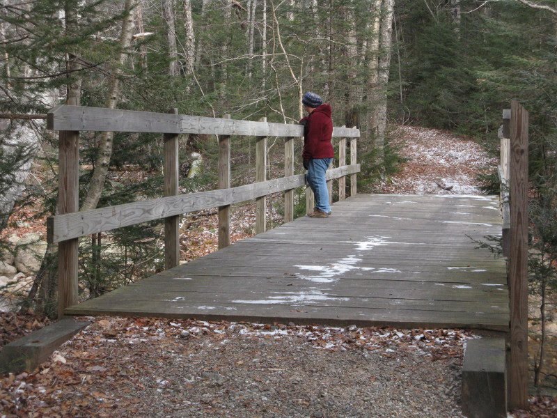 Just upstream is the confluence of the Mad River and Flume Brook, with a little peninsula between them.
 Soon the Kancamagus Brook Ski Trail departs on the R, leading 2.6 mi. through remote backcountry to the upper elevations of the Livermore Trail.
 At this junction is the brushy clearing of Camp 5, a logging camp operated by the Parker-Young Company from the 1920s into the early 1940s.
 Among the many signs of the logging camp operation is this old, broken cookstove top.
 Sled runners half-buried in the leaves.
 The walk up the Greeley Ponds Trail from the south is easy and pleasant the whole way, with a mix of spruce groves and hardwood glades.
 The Mad River is frequently in sight.
 A quiet valley today; we saw only two other hikers during our 6 1/2 mile trek.
 Nearing Lower Greeley Pond, we went straight on an X-C trail where the hiking trail turns L to cross the brook. The X-C trail leads to this beautiful viewpoint at the SE corner of the pond.
 The impressive cliffs on the NE arm of East Osceola rise above the frozen pond.
 Looking L across the bog, you can see part of the Painted Cliff. We had a nice lunch break here, but a chilling breeze soon had us heading back.
 A neat old yellow birch leaning out from a slope.
 On the return trip we made another pass through the Camp 5 site. Carol spotted this large contraption near the back of the camp. Was this some kind of stove? (Reader Jim Dietrich from Pennsylvania, who hikes for two weeks in the Whites every fall, believes this was a fuel storage and dispensing tank - a sort of backwoods gas pump. That makes sense, since the logs were trucked out of this valley after the river drives ended in the early 1930s. Thanks, Jim!)
  We went a little ways up the Kanc Brook Ski Trail for a look from the streambank at pretty little Towles Falls on Flume Brook, then it was time to head out to the car and back to Lincoln for a Thanksgiving feast!


