Friday, September 29, 2023

Checkmark Slide: 9/28/23

A bushwhack exploration of a uniquely-shaped slide on the north side of Peak Above the Nubble, a northern spur of North Twin Mountain that is one of New England's Hundred Highest peaks. The trek also included a visit to the Nubble, a striking little rock peak that is accessed by an unofficial path.

This Google Earth image reveals why the slide received its name. It is prominent from several points along US Route 3 as it passes through the village of Twin Mountain.


The unofficial path to the Nubble starts off along a snowmobile trail.


The footpath portion leads through some nice hardwood forest, bright with early fall color.


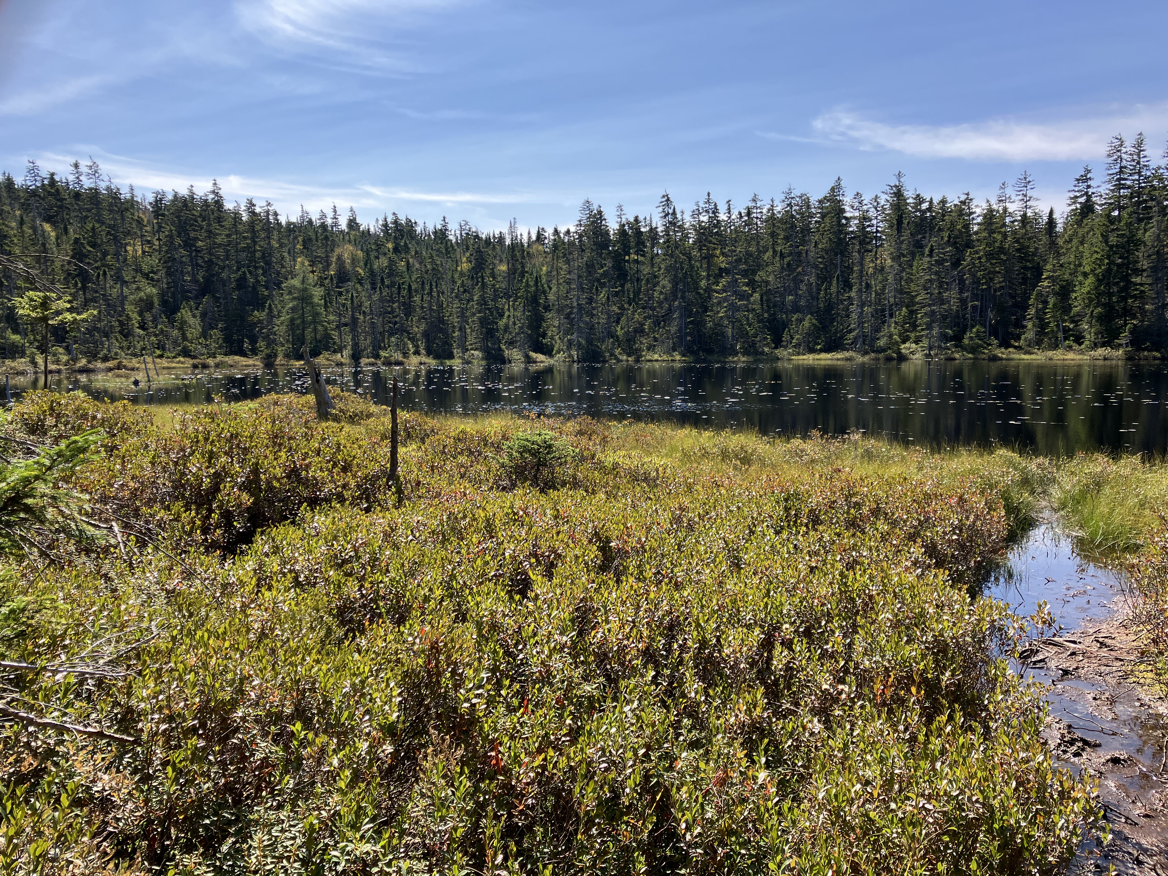
The west branch of Haystack Brook is crossed at a small flume.


The ascent up the back side of the Nubble (2712 ft.), aka Haystack Mountain, is short but features several rock scrambles. This spot has a bit of exposure and might be uncomfortable for those who have a fear of heights.


The Nubble is an open rock perch with views west (shown here), south and east. Viewing distance was severely limited this day by Canadian wildfire smoke haze.


Mount Garfield and Mount Lafayette.


To the east there is usually a good view of the Presidentials but they were smothered in the haze this day.


Peak Above the Nubble rises close by to the SE. The large slab of the upper east fork of the Checkmark Slide can be seen at top center.


As expected, the big ledge slab looked shiny and wet.


Going back down that sketchy scramble.


More scrambling below.


A 2019 blog report from John "1HappyHiker" Compton noted that mostly open woods were encountered on an approach to the Checkmark Slide, and that certainly proved to be the case on this ramble. 


Bushwhacking doesn't get much better than this.


Birch gold illuminated the forest.


As I got closer to the slide, the terrain got rougher, and I was happy to pick up an ancient logging road that John had followed on his trip to the slide.


Light at the end of the tunnel - there's the slide up ahead!


I figured that this slide would be too wet and slippery to safely climb, and when I reached the base that was confirmed.


The lower pitch of the slide is very steep.


Looking up from the base.


No one in their right mind would try to climb this slide in its current state of wetness, with plenty of greasy dark moss on top.


My previous experience with this slide was completely different. In April 1989 Mike Dickerman and I ascended Peak Above the Nubble. On the descent I mis-navigated our route down a ridge, and we ended up at the top of the Checkmark Slide. As luck would have it, the slide was cloaked in firm spring snow, ideal for kicking steps down it, thus avoiding a long, steep stretch in dense woods. (Photo by Mike Dickerman)


When a slide is unclimbable, you have to take to the usually steep and dense woods alongside it. I navigated a safe crossing at the base of the slide and headed up the east side.


I popped out at the edge for a side view of the lower of the two huge slabs.


First views out to the north. On a clear day the vista would take in many mountains in Vermont's Northeast Kingdom and the northern Green Mountains.


A view higher up along this slab.


A patch of Whorled Wood Aster, gone to seed, on a revegetated part of the slide track. This is one of the most common slide colonizers, found on 19 of 22 White Mountain slides surveyed by researcher Edward Flaccus in the 1950s.


After another climb through the woods, I emerged at the base of the massive slab that forms the upper eastern fork of the slide. This is the slab that is visible from the Nubble.


A little farther up there was a view back down to the Nubble.


It's a remarkable little rock protrusion.


Side view of the upper slab.


Looking up to the top of the slide.


The view from a perch I found at the edge of the upper slab. Nice spot for a long lunch break.


Type 2 fun as I continued up and around to the top of the slide.


Emerging from a tangle.


View from the top.


Heading back down the slope through the woods.


Back at the base of the slide.


Before heading out I went a short way up along the western side of the lower slab for a different angle looking up and across to the upper east slab.


Not many White Mountain slides have such wide expanses of bedrock, in this case syenite, a coarse-grained igneous rock. If it were dry it might provide good climbing. In its current wet and mossy state it is impressive to see, but is not recommended as a route to ascend Peak Above the Nubble!!


Wednesday, September 27, 2023

Nancy Cascades, Ponds & Slides: 9/26/23

The Nancy Pond Trail leading out of lower Crawford Notch ascends to one of the most interesting areas in the Whites - a high plateau cradled by peaks of the Nancy Range, harboring a large stand of old-growth spruce forest and two beautiful mountain ponds. Along the way the trail passes the lofty Nancy Cascades. My ultimate objective for a hike into this area was an exploration of the slides on the steep SW face of Mount Nancy. The eastern of these two slides is easily accessible from the unofficial path that ascends (steeply) to Nancy's 3926-ft. summit, one of New England's "Hundred Highest." I had visited that slide a couple of times on ascents of Mount Nancy, but had never been to the two-pronged slide 0.1 mile farther west.


A display on a kiosk near the trailhead notes that campfires are not allowed in the Nancy Brook Research Natural Area, shown in dark red.


The first 1.9 miles of the trail mostly follows various old logging roads.


The crossing of Nancy Brook at 1.6 miles was pretty easy with low water. Beyond the crossing the trail navigates through a jumble of boulders caused by storm washouts.


After the 1938 hurricane knocked down thousands of trees in the Nancy Brook valley, the Lucy family of Conway undertook a major salvage logging job. One of the most visible remnants of the mill site located here is this old brick furnace beside the trail. The '38 hurricane also shut down the Nancy Pond Trail, which had just been cut by the AMC. It wasn't reopened until 1960 by crews from Camp Pasquaney on Newfound Lake. The Pasquaney crews still maintain this trail.


A peek inside.


At 1.9 miles, shortly after passing the Lucy Mill site, the trail turns up onto a major relocation built by the Saco Ranger District trail crew to bypass washout from 2011's Tropical Storm Irene. This well-constructed section features numerous switchbacks and good footing.


Along this section I made a short, steep bushwhack up to the only open vestige of a Hurricane of 1938 landslide that obliterated part of the then recently-opened trail.


After a second crossing of Nancy Brook, the trail reaches the base of the Nancy Cascades, which are several hundred feet high. Only the lower drop is visible here, and it is impressive.


Above here the trail is very steep and rough as it ascends the slope adjacent to the cascades, with several switchbacks. After the first switchback it provides a view of the next level of the cascades.


This is a gnarly stretch, especially on the descent.


At the top of the cascades the trail abruptly eases off and winds up through a mossy, densely-grown virgin spruce forest. There's a sense of otherworldly remoteness on this high plateau, and this isolation probably saved these trees from the axe and crosscut saw in the early 1900s. The Forest Service established the 1,385-acre Nancy Brook Research Natural Area in 1991. It is one of the largest tracts of virgin spruce-fir forest in the Northeast.


After a long meander through spruce woods and wetlands, the trail runs alongside dark and mysterious Nancy Pond.


Numerous plank walkways installed by the Saco Ranger District crew ease passage through the wetland areas.


A view of Mount Anderson to the west.


Into the largest Wilderness in the Whites.


There's not much open water left in Little Norcross Pond.


Seven-acre Norcross Pond is the watery gem of this region.


From its east end the view includes Mount Bond, Mount Guyot, South Twin and North Twin.


A profile of Mount Anderson across the water.


The view is even better from the ledges below the pond's outlet.


A fine look into the rolling wildlands of the eastern Pemi, backed by the peaks of the Bond-Twin Range. Franconia Ridge peers over on the left.


Up behind this vantage point a natural ledge dam holds back the waters of Norcross Pond.


Looking SE down the length of the pond.


After an extended lunch break on the sunny ledges, I followed the first part of the unmarked but well-trodden path to Mount Nancy as it traverses an old logging road.


Where the path turns right for the steep ascent, the eastern of the two Mount Nancy slides is a short distance ahead. This spot offers a long view across the Pemi Wilderness to Mount Hancock, Northwest Hancock, Mount Flume and Mount Liberty.


This slide is a mix of gravel and loose rock, with a pitch of about 31 degrees.


A good view of Mount Anderson from the eastern slide. Note the tamaracks growing in the enter of the slide. In September, 1885, AMC explorers Eugene B. Cook and Hubbard Hunt made a two-day bushwhack excursion over Mts. Nancy, Anderson and Lowell. As reported by Cook in the March, 1886 Appalachia, while ascending Mt. Anderson, they obtained a good view back towards Mt. Nancy. “Two large recent slides and a smaller one deeply scarred the southwestern side of that mountain,” wrote Cook. It’s possible that these slides fell during the same storm on August 13, 1885 that triggered the North Slide and second South Slide on Mount Tripyramid. The two large slides are both visible in a 1939 aerial photo.


Side view of the eastern slide, with a touch of fall color.


Typical of the Nancy Range, the 0.1 mile bushwhack across the steep slope to the western slide was amply thick.


The eastern prong of the western slide is a blend of gravel and loose rock over ledge, at a much steeper angle. I deemed this pitch too sketchy to ascend and battled my way up through the dense woods beside it.


Later, at home, I measured this slope at 39 degrees on NH Granit.


Another gorgeous Pemi Wilderness vista.


This more westerly vantage adds Mount Carrigain and its "4266" spur to the view. With binoculars I could see hikers up in the observation tower.


A short, dense whack from the top of the eastern prong brought me to a spot above the western prong of this slide, which is composed of bare bedrock slabs.


I made my way down to the upper western corner of this huge slab, from which I could spot the western tip of Norcross Pond and the dark cut of Norcross Brook as it descends into the valley.


Mount Anderson looms large.


For the return trip to the eastern slide and the Mount Nancy path, I found and followed an old logging road, grown to prickly small conifers.


The road brought me to the top of the eastern slide, which I descended with care.


There was even a bit of dry slab to walk down.


Hung out for a few minutes before leaving the slides.


Last look into the Pemi from the Norcross Pond ledges.


Late afternoon at Norcross Pond. The quiet up here was astounding. I had this whole marvelous area to myself on this fine sunny day.


Nancy Pond.


The trail below Nancy Pond is one of the "rootiest" in the Whites, which is much more noticeable on the descent.


Birch color at Nancy Cascades.