Tuesday, February 28, 2023

Views of a Mountain Amphitheater: 2/27/23

Back in January 1997 I snowshoe-bushwhacked to a clifftop ledge on a northwestern spur of North Twin Mountain that promised an unusual view of the semi-circle of mountains ringing the upper Gale River valley: North and South Twin Mountains, Galehead Mountain, Garfield Ridge, Mt. Garfield and Flat Top Mountain. Due to persistent fog that day, I had only brief glimpses of the view. A quarter-century later I finally returned to that ledge, and enjoyed unobstructed views of this mountain amphitheater.
 
This was my second trip up the mellow Gale River Trail this winter.


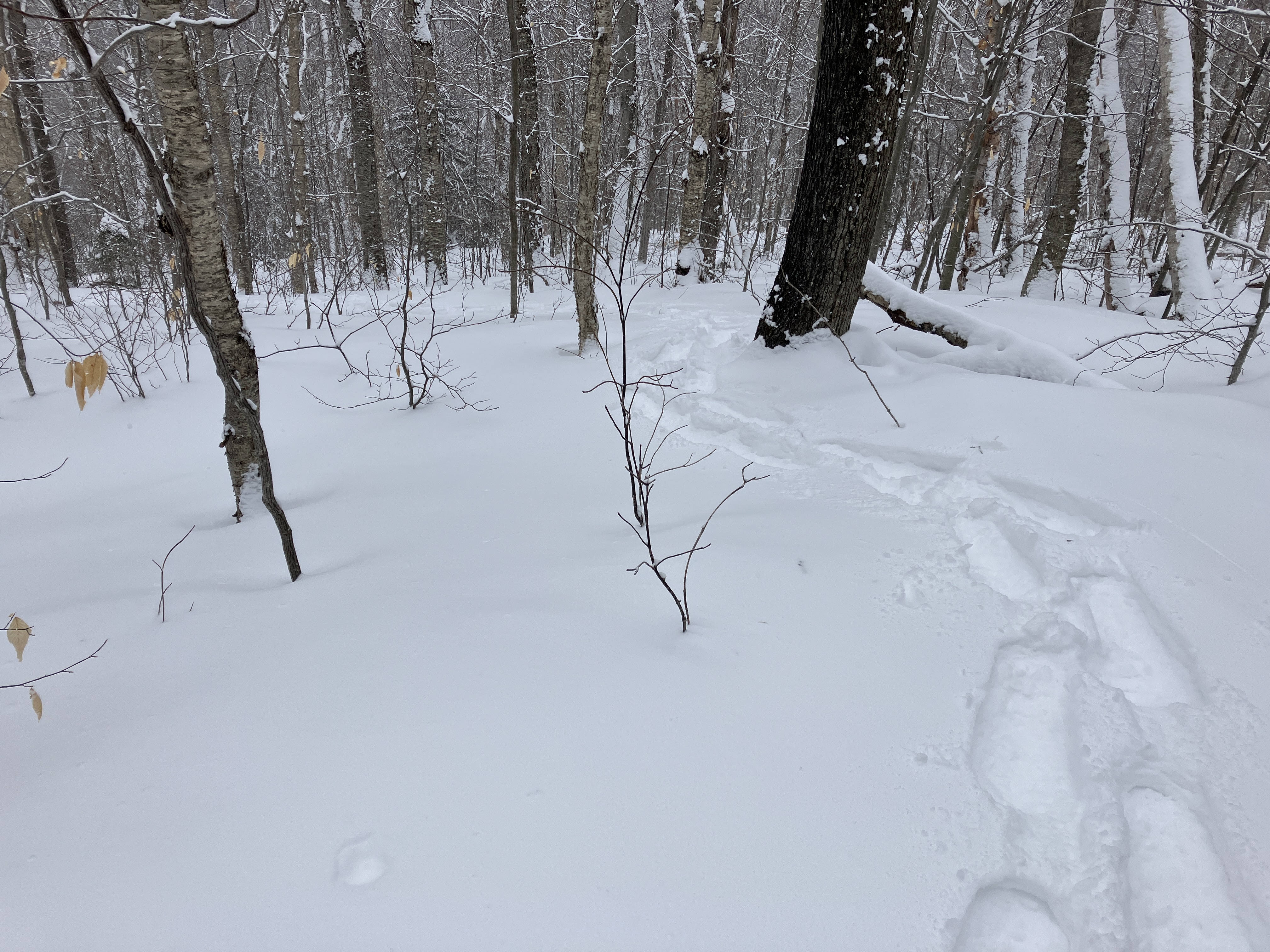
A beautiful morning in the hardwoods. The snow depth was minimal along the first mile of the trail.


Recent cold weather had largely locked in the North Branch of the Gale River.


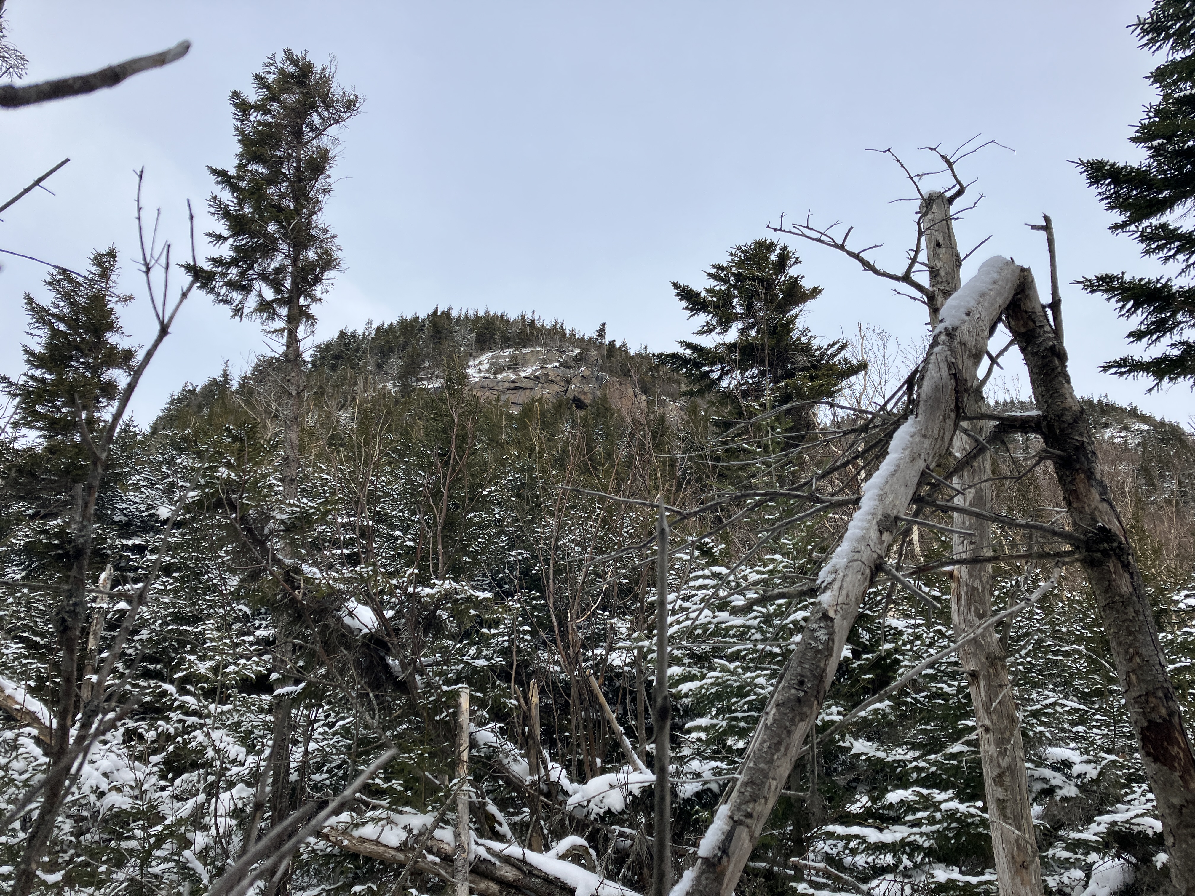
From the relocated section of Gale River Trail I spied my objective - the lower of these two "stairs" on 
the northwestern ridge of North Twin. The clifftop is just around the corner and out of sight here.


After the crossing of Garfield Stream I left the trail and descended to the North Branch, hoping for a feasible crossing. This looked promising.


A good snow bridge is a wonderful thing.


This little side drainage was my ticket to access the clifftop.


I clawed my way up a steep bank and briefly followed the former route of the Gale River Trail.


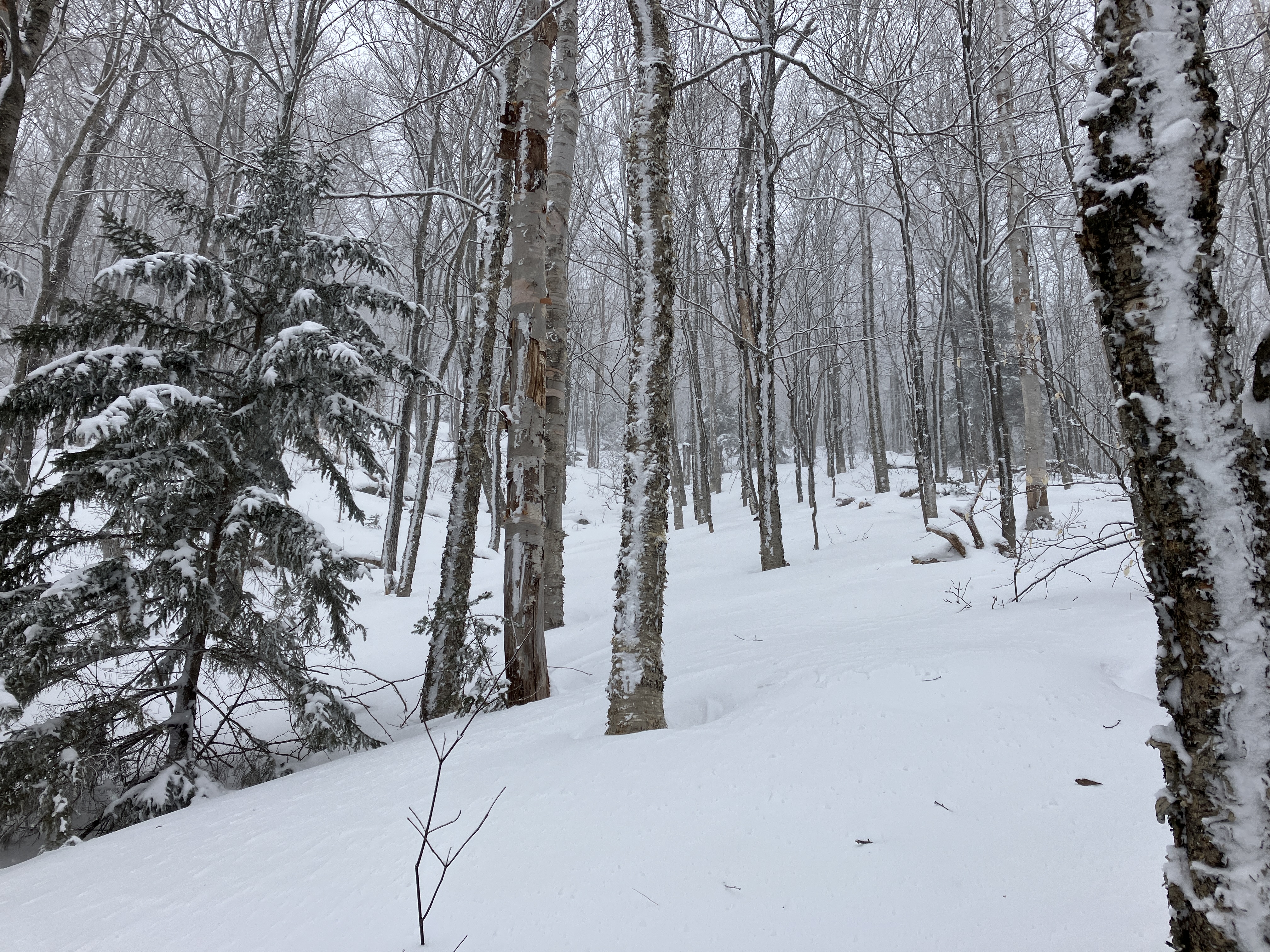
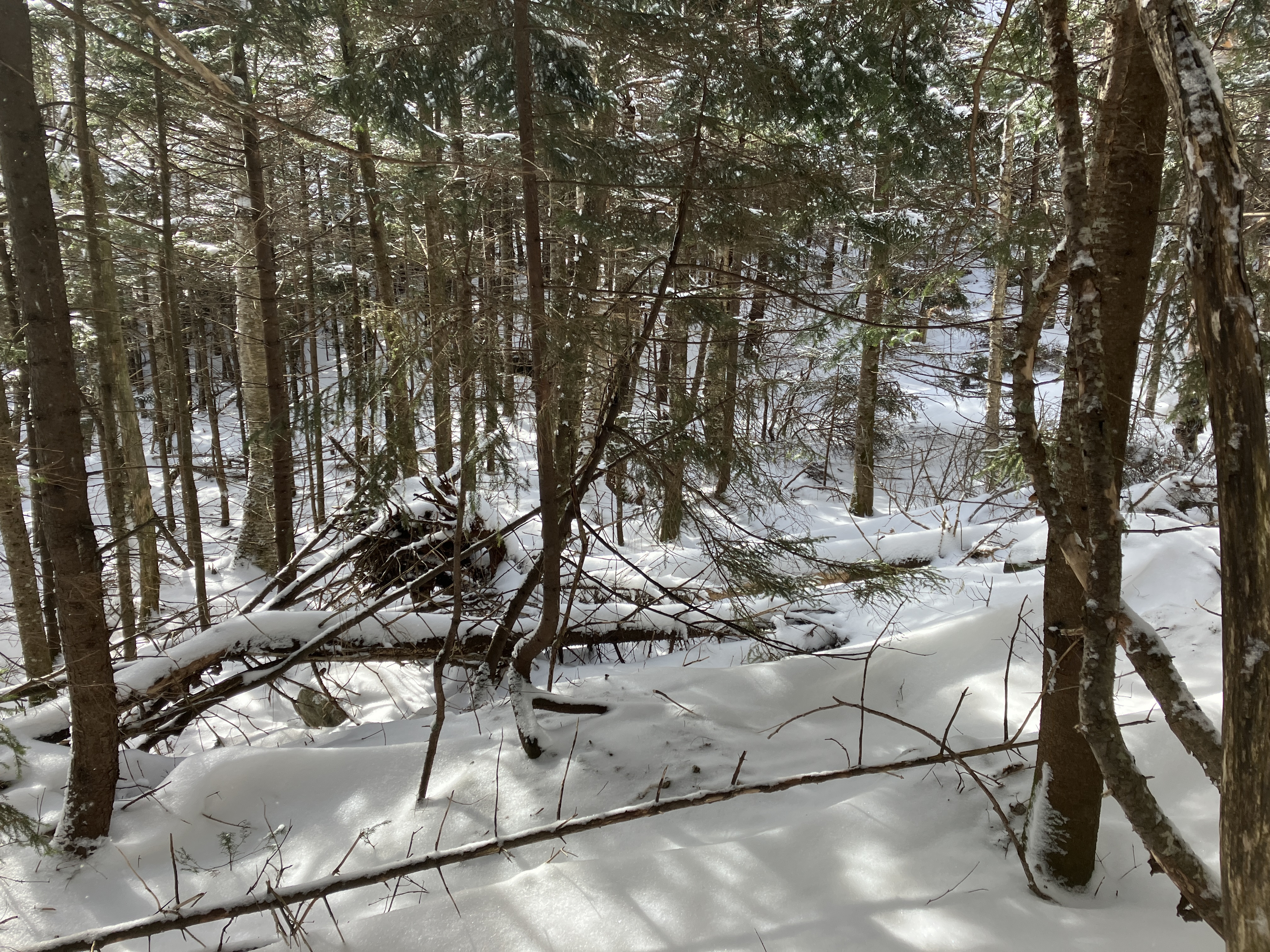
Pretty nice woods in this little valley...


...including some majestic old yellow birches.


Heading up the drainage.


In the open woods there was about 8" of recent powder atop a base of hard crust. This combination proved to be quite slippery on steeper pitches.


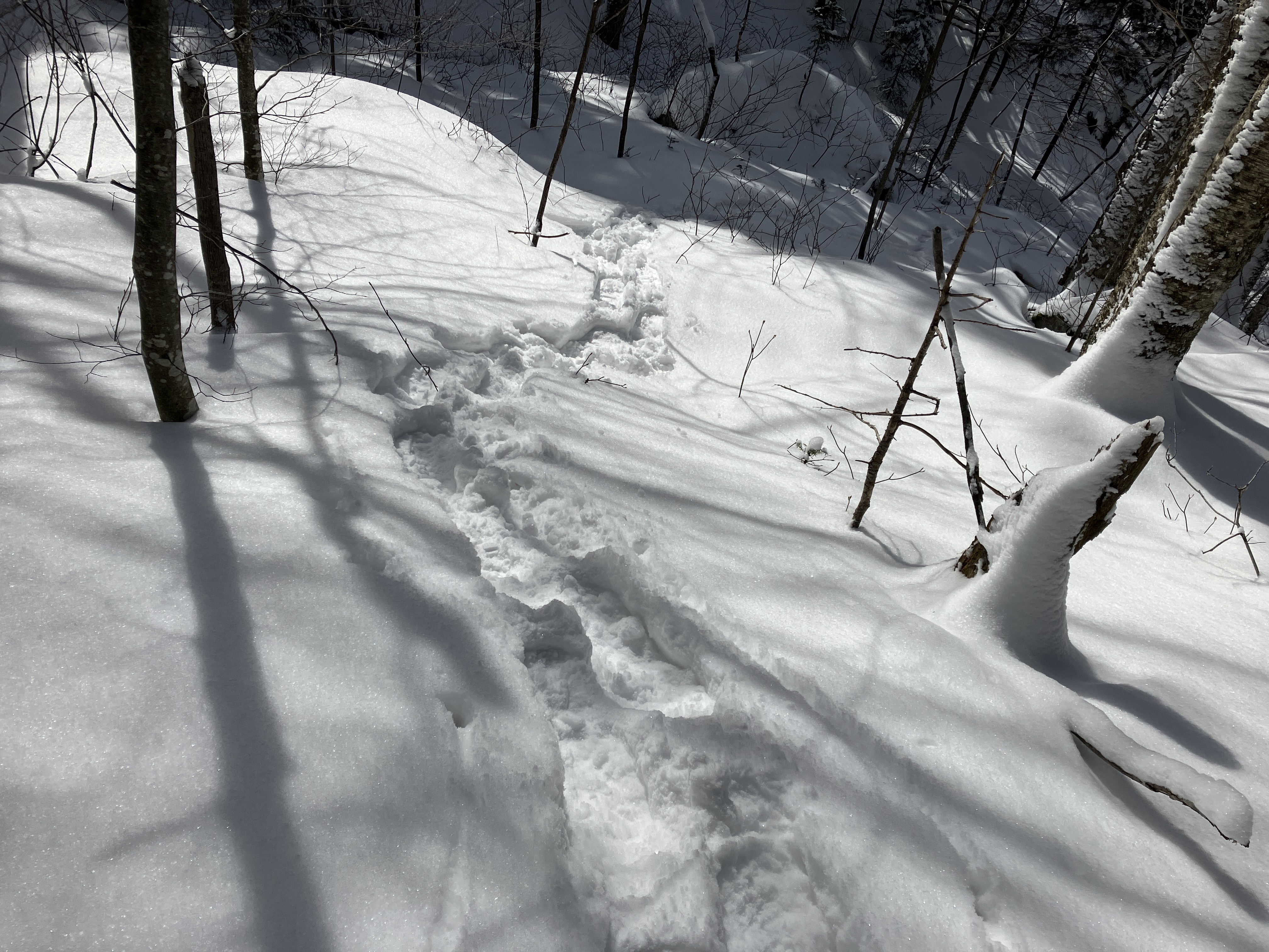
An inviting corridor.


End of the hardwoods.


Steep climbing through the conifers. Oddly, in a few spots there was only an inch or two of powder atop bare ground.


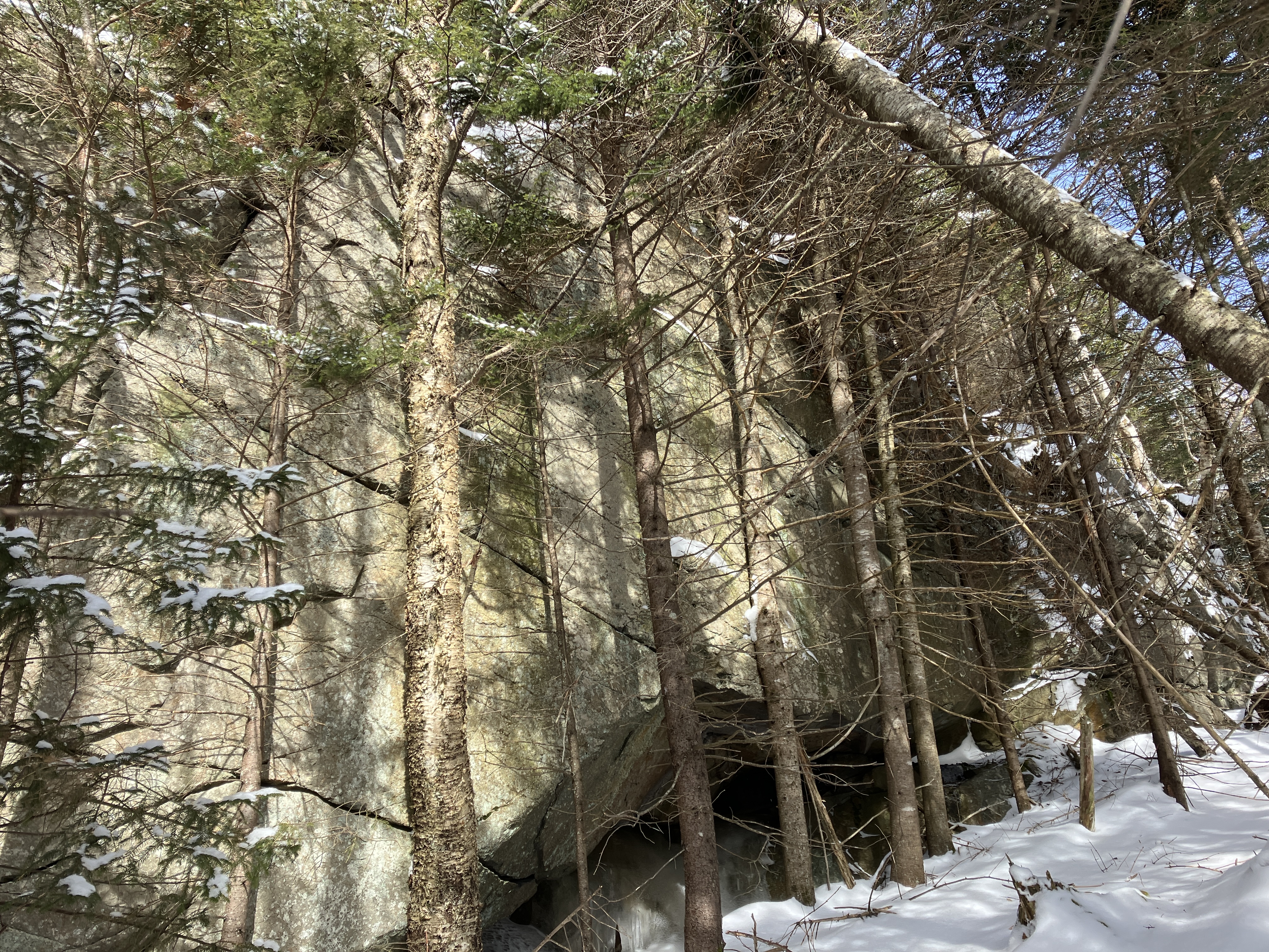
I knew I had reached the ridgecrest when I encountered one of the many cliffs that armor this rugged spur.


I descended through a minor col to reach the knob that harbors the clifftop ledge.


Here's where the real fun began. The ledge is down in front below the crest of the knob. I made two pushes through the dense growth that ended in impassable dropoffs.


The third try was the charm as I found a negotiable but very prickly route down off the top of the knob.


Twin Range cripplebrush is not a great area for maneuvering with snowshoes.


There it is, and mostly snow-free!


The views were well worth the effort. Mt. Garfield rises at the head of the valley of Garfield Stream, with Flat Top Mountain guarding the valley on the right.


Zoom on Flat Top. The views from its ridgetop cliffs are not easily won. The white patch below is the remaining open area (gravel in summer) of the 1954 Flat Top Slide.


Looking up the Gale River valley to South Twin, Galehead Mountain and Garfield Ridge.


This is the best view I've seen of the 1954 Gale River Slide, which filled the valley with debris and water and almost swept away an AMC hutman.


Zoom on the headwall of the Gale River valley. At the base is the only remaining open patch of a 1938 slide. A rocky spur knob of South Twin looms behind.


The massive snow-caked ridges of North Twin are close at hand.


Down-look. This ledge is a perch.


Distant views out to Vermont.


A February boot shot. With zero wind it was comfortable enough to hang out here for 45 minutes.


Then it was time for Round 2 with the cripplebrush.


There are more cliffs on the next knob up the ridge. Not for today.


On the descent the snow conditions were very slippery, so it wasn't as quick as is normal in winter.


Nice open glade.


Following my tracks, no navigation needed - a winter advantage!


From the other side of the river, I had a peek back at the perch.


A beautiful snowshoe track for a quick descent on the Gale River Trail.


Saturday, February 25, 2023

Deep Winter in Flume Brook Valley: 2/24/23


I enjoyed some of the best snowshoeing of the season on a cold, windy day when the ridges were shrouded in fog until late in the afternoon. With temperatures on either side of ten degrees F, the 6" of new snow was powdery and a joy to break trail in. Road conditions were slick in the morning, so I stayed close to home and wandered up into the Flume Brook valley, exploring some old logging roads up on the south slope of Mt. Liberty. The entire day was spent in open hardwood or birch forest.

Knowing there was a rock-solid snow base in the woods, I opted for a bushwhack approach to the middle of the Flume Brook valley, ascending through the woods from the tourist path above the Flume to the Flume Slide Trail. On my way up I stopped for a look at Avalanche Falls at the top of the Flume.


There was an ice climbing lesson in progress below.


On the wall.


The half-mile bushwhack from the Flume path to the Flume Slide Trail was a moderate ascent through 100% open hardwoods. As expected, off-trail conditions were excellent, with the new powder atop a hard base of crust.


There are some large sugar maples and yellow birches on this slope. This may be the champion maple of the valley.


The valley section of Flume Slide Trail is a wonderful snowshoeing route. For much of the half-mile or so that I was on it, I followed a line of critter tracks.


Eventually the tracks veered off into a tangle of fallen branches. Perhaps it was a member of the weasel family on the hunt.


Sweet snowshoeing, had the whole valley to myself this day.


This gully just below the trail was scoured out by the 1883 slide off the south slope of Mt. Liberty. This was the slide that surged through the Flume, creating Avalanche Falls and dislodging the famed boulder that was suspended between the walls.


After crossing the brook that drains the slide, I bushwhacked up the steadily rising south slope of Mt. Liberty through more open hardwoods.


After gaining a few hundred feet of elevation, I came up to one of a number of old logging roads that stripe this slope. These likely date back to the  Johnson Lumber Company operation of the early 1900s. The roads show up remarkably well on the Lidar hillshade map of the area, viewable on the NHGranit website (granitview.unh.edu).


I followed this road for a short distance, then climbed to a higher road that was the primary objective of the trek.


This road ascends up and across the slope through a beautiful open forest of hardwood and birch. The wind fog that shrouded the ridge gave the woods a ghostly look.


The road leads ever on...


Looking back.


Birches! The legacy of a 1908 forest fire that burned 423 acres in the valley.


I had half a notion to try and continue across the slope to a crag I had been to several times over the years. But there would be zero view, and sidehilling across the slope without the benefit of a roadbed proved to be difficult with the slippery under-layer of crust. I soon abandoned that quest and turned back at an elevation of 2950 ft.


I did manage to get a fleeting glimpse of Hardwood Ridge through the trees.


Looking back as I headed down the old road.


I marveled at this steep and open upslope glade. Looks like it would be a great ski run.


I followed this road all the way down to its end at the brink of the ravine below the Mt. Liberty slide.


Looking back at what appeared to be the junction of the two different roads I followed on the way up.


Heading back down the Flume Slide Trail as the sun makes a late afternoon appearance.


Trunks and shadows on the slope leading down to the Flume.


Looking up at the champion maple.


A cleared view to the SW along the tourist path above the Flume.


Mount Pemigewasset from the wide frozen bed of Flume Brook.