On Thursday, October 19th five of us enjoyed a cloudy but pleasant fall day for the 35th annual
White Mountain Crop Hunger Walk, a "hike for hunger" that benefits the
programs of Church World Service. This year's participants included Thom
Davis, Roger Doucette, Dennis Lynch, Gary Tompkins, and this
correspondent. We missed two of our regular participants, Marry Ann McGarry and Candace Morrison, who
where both far afield and weren't able to join us this year. Our route was a"Grand Tour" of Mount Moosilauke, an 11-mile loop that included all four of the mountain's 4000-foot peaks: South Peak, the main summit, Mount Blue and Mount Jim.
The Church
World Service CROP program began in 1947 and the first CROP Hunger Walk
was held
in 1969. Each year walks in more than 500 communities raise more than $6
million for CWS hunger programs. For more information see
www.cwsglobal.org.
Ours is the only Crop
Hunger Walk that takes place on mountain trails. Since its beginning in
1989 our walk has raised more than $101,000 for
the anti-hunger programs of Church World Service, with more than $25,000
of that provided to local food pantries in the western White Mountains.
We owe the success of our walk to the consistent generosity of our
sponsors. The CROP Hunger Walk theme is “Ending hunger, one step at a
time."
After parking on Ravine Lodge Rd., we began our hike with a walk past the magnificent Ravine Lodge, rebuilt by Dartmouth College in 2017.
Ready to go! Dennis, Gary, Thom and Roger (L to R).
After following the Gorge Brook Trail across the Baker River on a footbridge, we turned left onto the Hurricane Trail and crossed Gorge Brook on a rather lofty two-log bridge.
The Hurricane Trail briefly runs alongside the Baker River.
This section of the Hurricane Trail was opened by the Dartmouth Outing Club in 1933 and was called the "Sledge Road." We enjoyed some late foliage color through here. I've never seen so much color this late into October.
After a mile on Hurricane Trail we turned right onto the Moosilauke Carriage Road. This historic route was originally opened as a bridle path in 1858, and was upgraded to a carriage road in 1870, to better serve the Prospect House, the small hotel on the summit that had opened in 1860. This section of the Carriage Road ascends through a beautiful mature hardwood forest with many sugar maples.
Ascending through one of several switchbacks along this section.
A ferny corridor leading into the conifers.
Up to the junction with the Snapper Trail, the footing on the Carriage Road is pretty good. Above that junction, where it receives much heavier use as part of the Gorge Brook Trail/Carriage Road/Snapper Trail loop, the trail is much rockier and more eroded.
Mountain ash berries add some bright color to the conifer-scape.
In the fall of 1935 the Wadchu (“Great Mountain”) Shelter was built near the top of the legendary Hell’s Highway ski trail. The upper part of this route was billed as “the steepest and most difficult trail in New England” in the 1939 guidebook, Skiing in the East. The Dartmouth Alumni Magazine noted that the shelter was constructed of “logs hewn on the spot.” The shelter was laid low by the 1938 hurricane. Up above 4000 ft. its remains are hidden in the woods.
A wider part of the Carriage Road. Ski racing on the Carriage Road was initiated by Dartmouth in 1927, and in 1933 it hosted the first National Downhill Championship, with 78 competitors.
A passage between huge boulders placed to prevent snowmobile access to the summit ridge.
Signs at the Glencliff Trail junction.
Up to the first peak of the day.
The bare top of South Peak (4523 ft.). The forecast had promised a sunny day, "the pick of the week." Alas, it was not to be, as grayness prevailed until late afternoon. But the temperature and wind were reasonable enough for a half-hour lunch break.
The Moosilauke summits were mostly clear, and though distant views were obscured, we enjoyed local vistas such as this look down to Tunnel Brook Notch and Mount Clough, and out to the Benton Range beyond.
A closer look at Clough and its many slides, with Mud Pond and adjacent beaver ponds below.
Looking NW beyond the scarred wall of Slide Ravine.
The summit of Mount Moosilauke emerged from its cloud cap.
A stray spot of sun illuminates Mud Pond.
Heading north along the ridge on the Carriage Road, a side path leads to a fine view to the SE looking over the ravine of Gorge Brook.
Ravine Lodge can be spotted to the right of center.
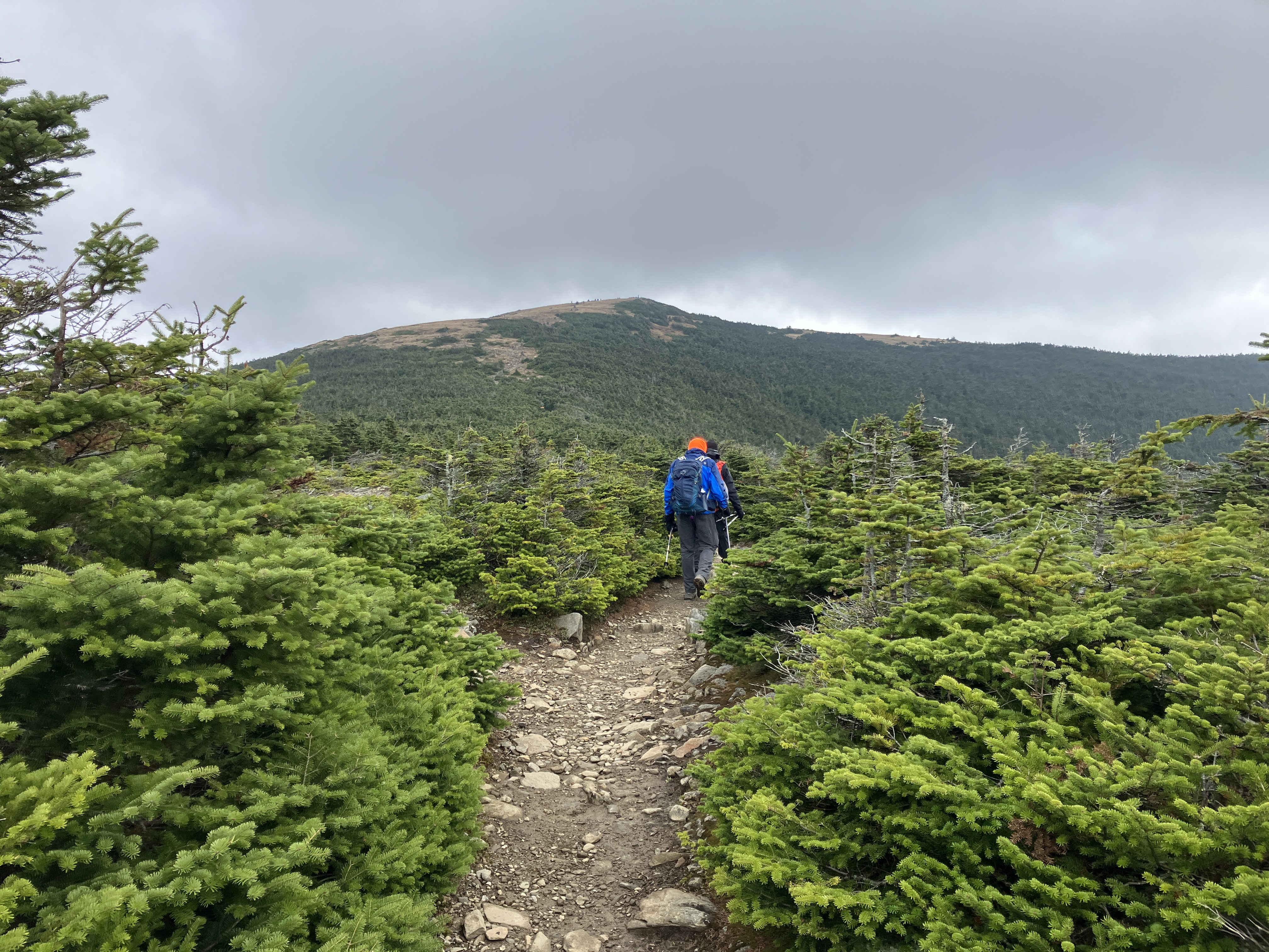
Heading for the summit.
Important message from the DOC.
Nice rock step work.
Looking back at South Peak.
Beautiful climb in the alpine zone.
The summit (4802 ft.).
We wouldn't be seeing the Green Mountains and Adirondacks to the west today.
A hiker kindly took our traditional CROPWALK group photo.
Heading north along the open ridge on the Beaver Brook Trail.
The high peaks of the Whites were obscured by clouds.
A message that bears repeating.
Mottled view to the north.
Rounded Mount Blue and its northern sub-peaks with the Kinsmans beyond.
Mossy woods along the Beaver Brook Trail.
View to the SE from a knob between Mount Moosilauke and Mount Blue. The long ridge of Mount Kineo fills the frame.
There is some rough and rocky footing in places along the upper Beaver Brook Trail.
We made the side trip on the well-worn path to the flat, wooded, viewless summit of Mount Blue (4529 ft.).
Beautiful boreal forest up here.
Thom, a retired geology professor who has been working on mapping the surficial geology of the Mount Moosilauke USGS quadrangle for the last several years, pointed out these glacial striations on a ledge in the trail.
A view over Jobildunc Ravine, a glacial cirque, where the Beaver Brook Trail skirts the headwall.
Passing through a fir wave.
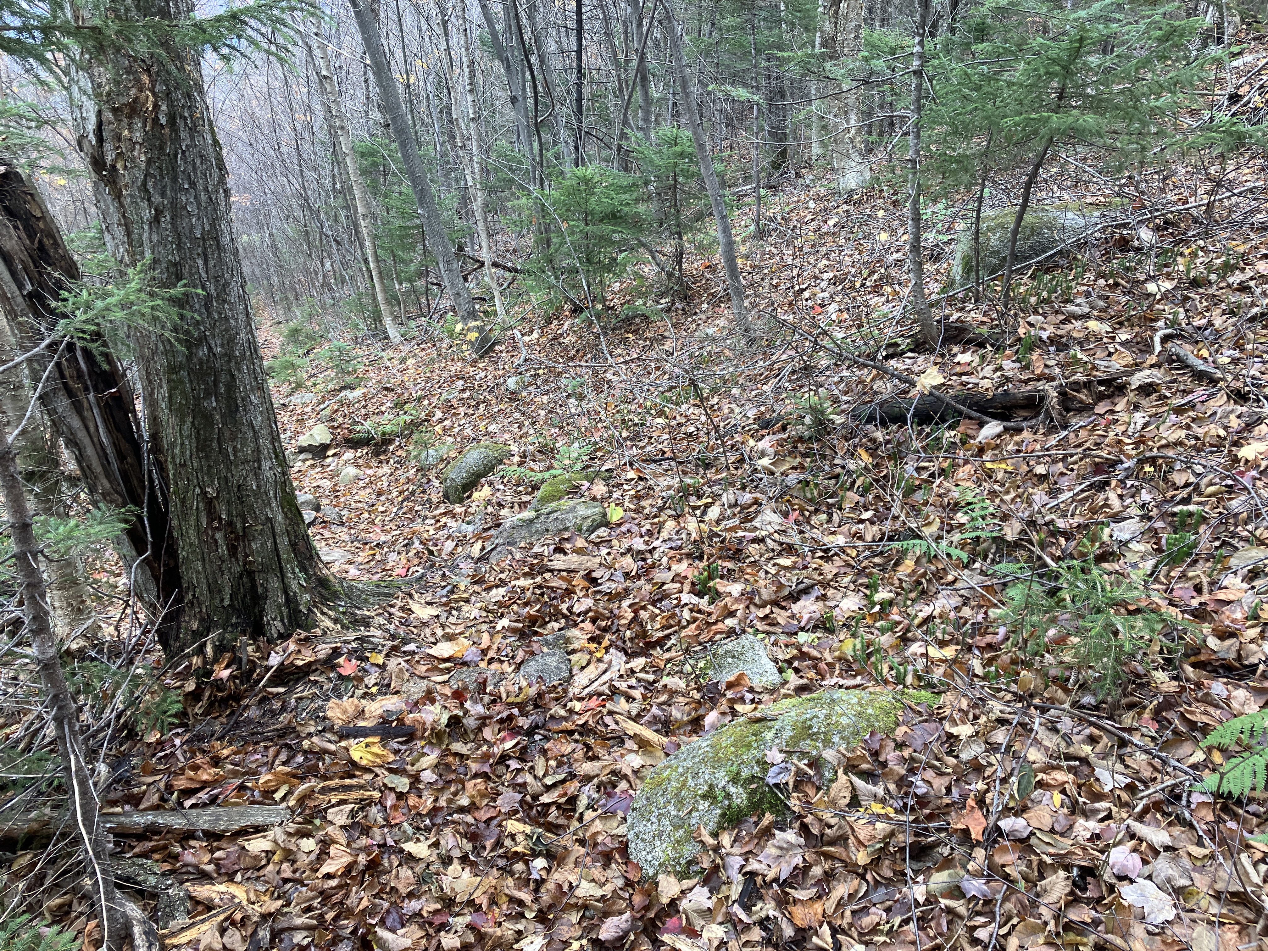
For the last four miles of our descent we followed the easy-going, lightly traveled Asquam Ridge Trail, which was opened by the DOC in 1947-48.
Mossy corridor on the short climb to Mount Jim.
A view back to Mount Blue, under recently cleared skies.
DOC sign near the wooded summit of Mount Jim (4172 ft.)
The Ridge Trail is a long and beautiful walk through the forest.
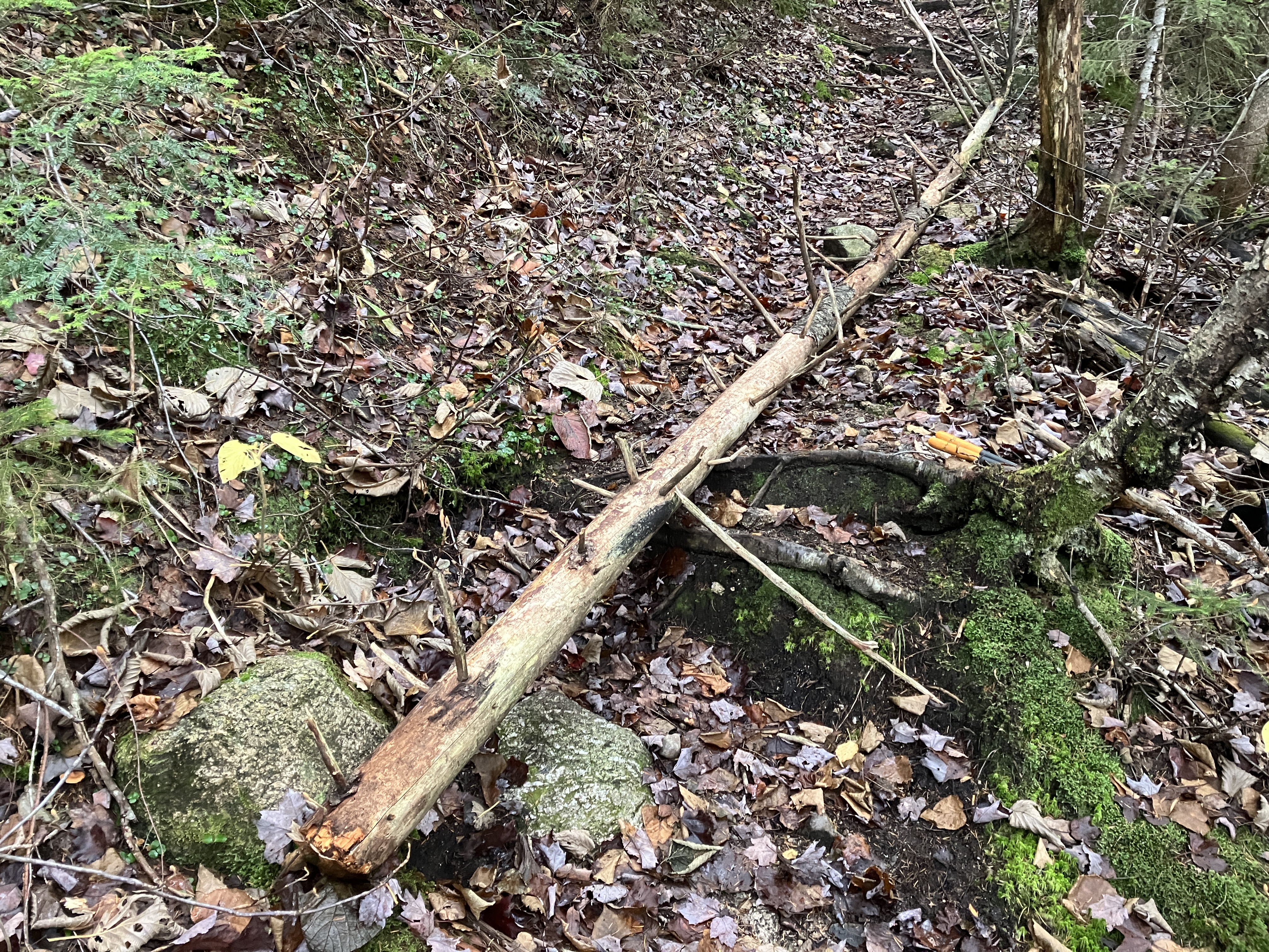
Farther down the grade is gentle, though the footing is a bit rocky.
Now the sun comes out!
Crossing the Baker River on a rough-hewn bridge.
The lower part of the Ridge Trail follows a logging road used by the Parker-Young Company in the 1940s to salvage timber felled by the 1938 hurricane.
Site of a logging camp used in the 1940s.
Looking up at South Peak from the end of Ravine Lodge Rd., at the conclusion of a fine day on the Moose. We made it out with a few minutes of daylight to spare. Thank you for your support!