Friday, August 30, 2019

Osceola West Branch Slide: 8/29/19


This bushwhack exploration to a small slide on the SW side of Mt. Osceola was short enough that it seemed feasible for a mid-afternoon start on a gorgeous late summer day.


Heading off into the woods from a suitable spot along the Mount Osceola Trail to dip into the ravine to the east.
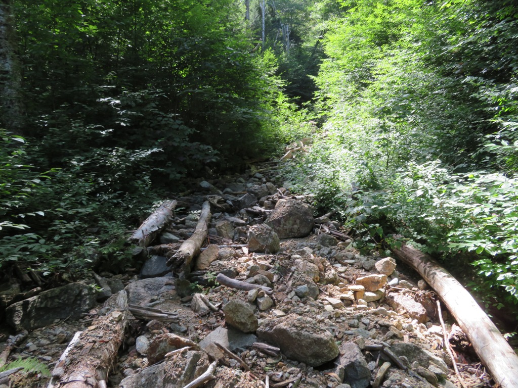


This wild, tangled, nameless brook is a long tributary of the West Branch of the Mad River. The Mount Osceola Trail crosses its headwater high on the mountain.


A steep climb out of the brook ravine.


I crossed a couple of old tote roads, probably from the 1930s when this area was logged by the Parker-Young Company, working out of Waterville Valley.


The climbing remained fairly steep.


For some reason the Osceola woods are particularly wild-looking.


Emerging at the base of the lower open part of the slide at ~3150 ft. A review of old aerial photos suggests that this slide fell during the Hurricane of 1938.


This is a small, comfortable slide, with dry grippy granite.


The main feature of the view is an unusual look at sharp-peaked Mt. Tecumseh and the broad crest of West Tecumseh.


Nice spot to hang out.


I continued up the slide, climbing over several smaller open patches with dense scrub between.


A little wider view with Carr Mountain and Mt. Kineo in the distance.


A fun little scramble.


Growing in.


The topmost slab, at ca. 3450 ft., was slick and unsafe, so I circled around through the woods to its upper edge.


A more southerly perspective here, including the Green Peak ski slopes and Sandwich Dome.


Back down on the lower section the shadows were getting kind of long, time to find a way home.


These slabs were fun to walk down.


I followed the slide runout til it got too gnarly. Back to the prickly woods.


Pick-up sticks.


This old tote road looked like it might be used a bit by the local residents.


Yup.


I was happy to reach the brook and the climb back to the trail with some daylight left.


Wednesday, August 28, 2019

NW Slide, Scar Ridge: 8/27/19


A bushwhack journey up the valley between Scar Ridge and Black Mountain. Went halfway up the western of the great NW slides on Scar for fine views to the north.

Crossing the Hancock Branch at low water.


Boulder with a cap.


Old tote roads were helpful in the lower part of the valley.


The nameless stream that drains this spacious valley.


An old yellow birch.


Another old tote road.


Lots of fine hardwood forest in this basin - unusual for a bushwhack involving Scar Ridge!


This brook really should have a name.


This sunny blowdown opening can be seen on Google Earth


Confluence of the brook that drains the slides (L) and the stream that flows down from the western col of Scar Ridge (R).


Hobblebush greeters.


There are quite a few dark pieces of basalt (I presume) in the brookbed.


Where the tracks from the eastern and western slides meet.


Gorgeous hardwoods grace this inner sanctum.


Following the rubbly track of the western slide.


Big rocks.


A precarious jumble just before reaching the ledgy part of the slide.


First slabs.


Side view. Even in a dry season, there are many dangerously slick ledges on this slide.


A remarkable scalloped ledge with a small pothole pool below.


The pool.


First glimpses out to the north.


Looking up the slide.


Another scalloped ledge.


Several times I took to the steep woods beside the slide to bypass slick ledges.


Neat spot.


Rubble.


Slick on one side, dry on the other.


Black Mountain and its hidden crags. An impressive peak from this angle!


While whacking through woods on the east side, I crossed this steep, narrow tributary slide.


Side view of the main slide.


Popping back out on the slide.


Fine views up here: Black Mountain, Mt. Flume, Owl's Head and the Twins.


I parked myself on a comfortable ledge with a wider view and stayed a while.


Galehead, the Twins and the Bonds, with the East Branch snaking below.


West Bond and its south slides. Mt. Guyot's two summits peek over the col on the right.


The East Branch with very little water visible. These rocky outwash areas offer good views of Scar Ridge and its slides.


A riot of vegetation crowds the edge of the slide, making for slow, patience-testing bushwhacking.


Looking up the slide from my perch.


The broad upper slide can be glimpsed above. Back in the '90s two friends and I whacked down from the Scar ridgecrest to the top of this slide for an amazing northward view.


Purple asters adorn a broken ledge.


Driftwood.


Don't step on the green slime!


This crevice is the route to continue up the slide. I made it most of the way up, but chickened out by the loose stuff at the top. Came back down and continued up through the woods.


A wild cliff on the ridge to the west.


I came back out at a fork in the slide at 2700 ft.


Cannon Mountain was added to the view on the left.


Hard to leave a spot like this.


For the descent, I deemed it safer to stay mostly in the steep, dense side-hilly woods on the east side.


Steep terrain like this has its own hazards. First I tweaked a knee slipping on a dry mossy rock. A few minutes later I jarred a rock loose that glanced off my foot, tumbled rapidly down through the woods, then bounded noisily down the ledges of the slide until it came to rest somewhere at a level shelf. Lesson learned.


Side view of slippery ledges. This is wild, rugged and tricky terrain. I tipped my sweaty hat to Jason Beaupre, Leah Haynes Lawry and Nicole Ponte, who scaled the length of this slide en route to Scar Ridge last summer.


Late day view of the scalloped ledge and pool.


Back into the hobblebush.


Stumbled upon this broken sled runner along a tote road beside the brook. Presumably this dates back to the 1890s, when J.E. Henry's East Branch & Lincoln Railroad was logging the Hancock Branch area.