With a big snowmelt over the previous few days, I figured it was worth a try to get out to a favorite bushwhack route into Avalanche Ravine at the base of North Tripyramid and hopefully do a little snowshoeing on lower parts of the North Slide. It was in the high 30s for my late morning start. It had been too warm for grooming, so the first 2.2 miles of the Livermore Trail had a couple inches of wet snow atop a thin base, which was decent for snowshoeing. Skiers had made their own tracks along the edges.

Beyond the groomed section, there was an old set of snowshoe tracks, but it had been melted and raised during the thaw, so it was easier to make my own tracks alongside.

Slide Brook was flowing nicely at White Cascade.

The old snowshoe tracks ended at the junction with the south end of the Mount Tripyramid Trail.

A clean slate heading up Livermore Trail from here.

Breaking trail through 6" of heavy wet snow atop a pretty firm base. It made for slow, contemplative snowshoeing.

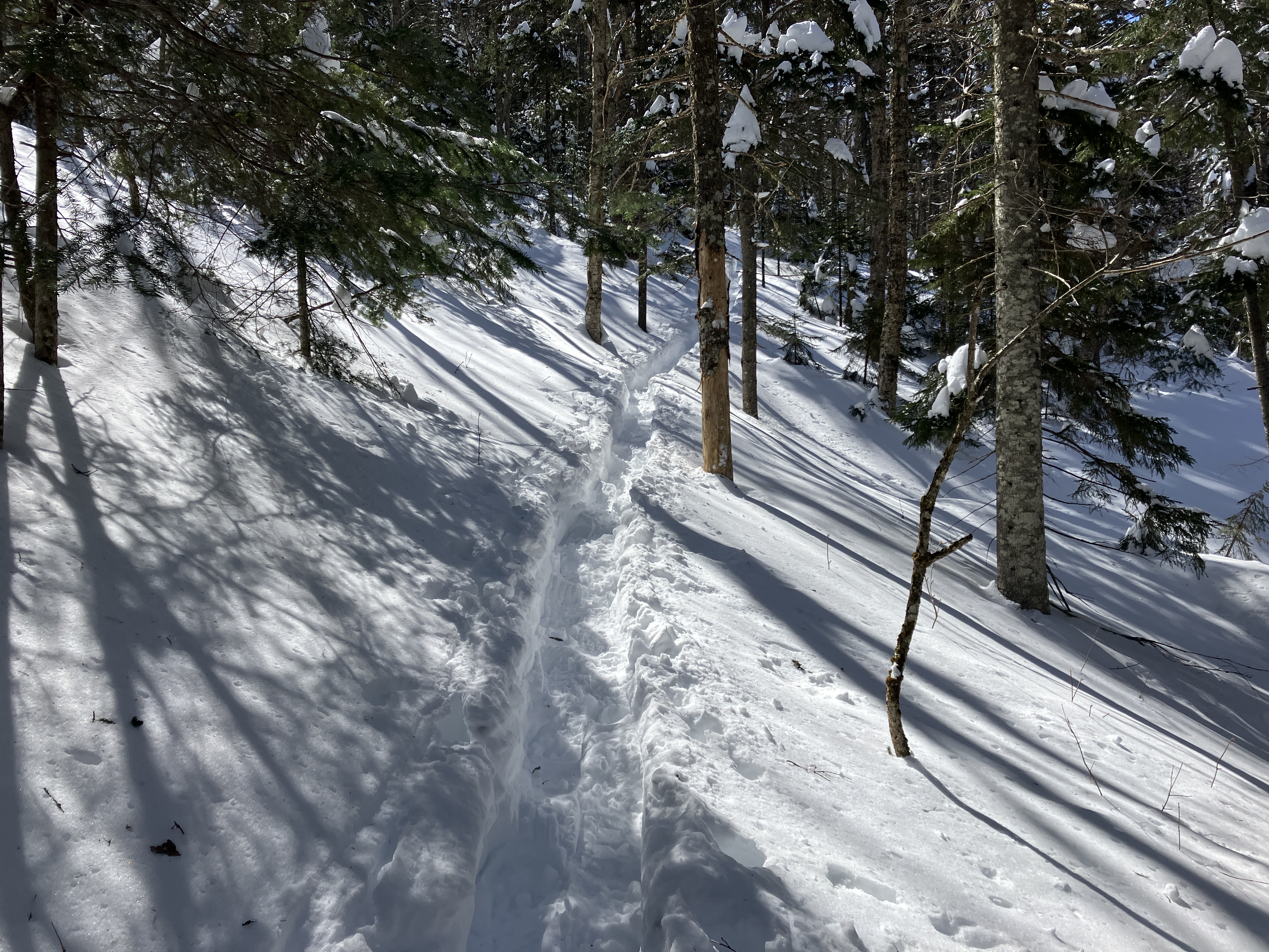
Pretty corridor.

North Tripyramid in sight ahead.

From the junction with the north end of the Mount Tripyramiud Trail, I set off on my familiar bushwhack route into Avalanche Ravine, following an old overgrown logging road along the north side of Avalanche Brook.

The breaking was a little heavier in here.

The snow depth must have been impressive right after the big storm, before the thaw.

I emerged in a favorite hardwood glade, with the North Slide glimpsed through the trees. Nice backcountry feel out here.

Fine spot for a late lunch.

Weaving through the hardwoods.

Crossing this crevassed little tributary requires some maneuvering.

Approaching the base of the North Slide.

The "inner sanctum" glade.

The scene in Avalanche Ravine: Avalanche Brook below, North Slide above.

Approaching the base of the East Fork of the North Slide.

I was surprised and pleased to see that this slide track still held nearly full snow cover.

Snowshoeing up alongside a strip of cascades that had opened up on the slide track.

An enticing swath of snow, where in summer there would be super-slick wet ledge slab.

Zig-zagging.

Respectable snow depth here.

More open cascades above. From here I decided to bushwhack across the slope to the Mount Tripyramid Trail on the lower part of the main North Slide.

Traversing the slope between the two forks of the slide.

I popped out on the Mount Tripyramid Trail at ~3000 ft.

Broke trail up to the first good view spot along the slide. It's steeper than it looks.

Looking down the narrow lower part of the slide. Both forks of the slide came down in a massive rainstorm in August, 1885.

Looking up the slide.

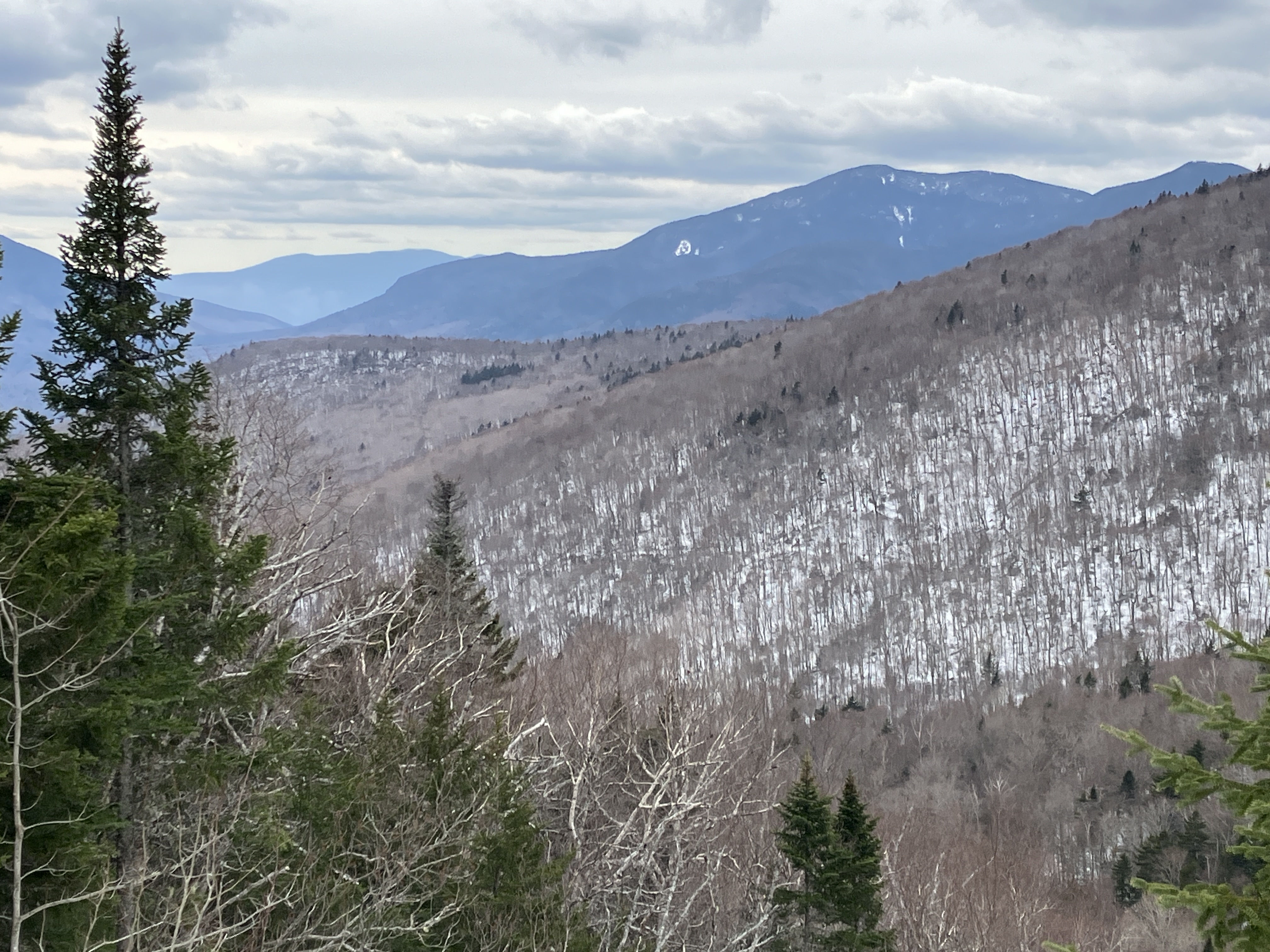
View across Avalanche Ravine to the ridge leading up to Tripyramid's Scaur Peak.

A fine view out to Mount Osceola and distant Mount Moosilauke, with Mount Tecumseh on the left.

Zoomed. Moosilauke is nicely framed by Thornton Gap. East Osceola peeks over on the right.
Side view of slide. It's steep!

After a half-hour break at the viewpoint, I broke trail downhill, towards the base of the slide.

Partway down I was shocked to come upon a set of deep postholes. Who in their right mind would posthole through deep wet snow all the way up Livermore Trail and then out to the North Slide?

I found the answer at the base of the slide - a backcountry skier had come up to this point, then took off the skis and wandered a little way up in boots before wisely turning around.

Following my tracks back down through the ravine.

Farther down I discovered that the skier had followed my bushwhack route most of the way up to the base of the North Slide.

The snow was really mushy at the end of the day, and it was a long slog out on the Livermore Trail. This scene at the Depot Camp clearing was a nice finish to this spring snowshoe journey.