Carol and I enjoyed excellent snowshoeing conditions for a five-mile jaunt on the wonderful trail network maintained by the Waterville Valley Athletic & Improvement Association. We used the Cascade Path, Norway Rapids Trail, Elephant Rock Trail, Greeley Ledges Trail and Snows Mountain Trail.
We started from the Snows Mountain parking area. The Cascade Path starts out by climbing steeply alongside a paved road leading up to several houses.

At this time of year it's easier to just walk up the road to where the trail enters the woods on an old ski trail.

Signage where the trail crosses an X-C ski trail. Conditions were great, with a few inches of powder atop a firm older track.

The Tripyramids seen through the trees along the lower flank of Snows Mountain.

After a major effort, we went away empty-handed in a search for a geocache that is not "winter-friendly."

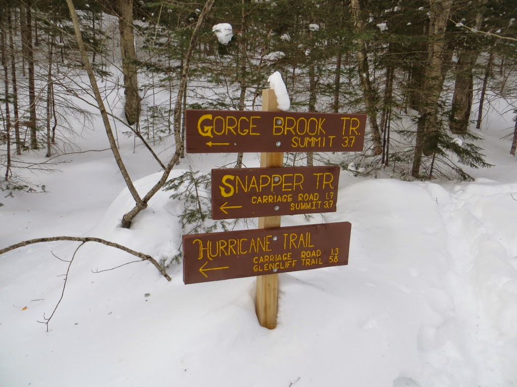
One of the old WVAIA signs, not many of these are left anymore.

We crossed the well-frozen brook at the base of the first cascade, where the view is obstructed by a large fallen tree.

The path along the east side of the cascades gave us several good views of frozen, snow-muffled cascades.

Looking back down Cascade Brook, with a bit of Mount Osceola seen in the distance.

This was our late-lunch spot, near another cascade.

Peering down from the top of a cascade.

Yet another buried cascade, with an open pool.

Anybody home?

The Cascade Path is a great snowshoeing trail. It was the first time we'd done it in winter.

After crossing the bridge at the top of the cascades, we came down the west side path, which offers some different perspectives.

Next we wandered across the gently rising Norway Rapids Trail, which had been broken only by a single snowshoer. This one required a little more work.

At the Norway Rapids, looking up Avalanche Brook.

Downstream at the Norway Rapids.

Our winding track on the Norway Rapids Trail.

We headed back on Cascade Path, then up the Elephant Rock Trail. The rock for which the trail was named was just a steep-sided snow sculpture.

Carol breaking trail up Elephant Rock Trail. The top part was almost totally drifted in.

Mount Tecumseh from the top of the old Snows Mountain Ski Area.

A nice perspective on the Osceolas and the upper basin of Osceola Brook.

The Greeley Ledges Trail led us through a rocky spruce area, then down to a beautiful hardwood plateau, seen here from above.

Looking back up the Greeley Ledges Trail. From here we descended the Snows Mountain Trail back to the base of the old ski area, wrapping up a delightful ramble.

At this time of year it's easier to just walk up the road to where the trail enters the woods on an old ski trail.
Signage where the trail crosses an X-C ski trail. Conditions were great, with a few inches of powder atop a firm older track.
The Tripyramids seen through the trees along the lower flank of Snows Mountain.
After a major effort, we went away empty-handed in a search for a geocache that is not "winter-friendly."
One of the old WVAIA signs, not many of these are left anymore.
We crossed the well-frozen brook at the base of the first cascade, where the view is obstructed by a large fallen tree.
The path along the east side of the cascades gave us several good views of frozen, snow-muffled cascades.
Looking back down Cascade Brook, with a bit of Mount Osceola seen in the distance.
This was our late-lunch spot, near another cascade.
Peering down from the top of a cascade.
Yet another buried cascade, with an open pool.
Anybody home?
The Cascade Path is a great snowshoeing trail. It was the first time we'd done it in winter.
After crossing the bridge at the top of the cascades, we came down the west side path, which offers some different perspectives.
Next we wandered across the gently rising Norway Rapids Trail, which had been broken only by a single snowshoer. This one required a little more work.
At the Norway Rapids, looking up Avalanche Brook.
Downstream at the Norway Rapids.
Our winding track on the Norway Rapids Trail.
We headed back on Cascade Path, then up the Elephant Rock Trail. The rock for which the trail was named was just a steep-sided snow sculpture.
Carol breaking trail up Elephant Rock Trail. The top part was almost totally drifted in.
Mount Tecumseh from the top of the old Snows Mountain Ski Area.
A nice perspective on the Osceolas and the upper basin of Osceola Brook.
The Greeley Ledges Trail led us through a rocky spruce area, then down to a beautiful hardwood plateau, seen here from above.
Looking back up the Greeley Ledges Trail. From here we descended the Snows Mountain Trail back to the base of the old ski area, wrapping up a delightful ramble.