Tuesday, February 25, 2020

Tripyramid North Slide, East Fork: 2/24/20


A slide exploration with Dan Newton, avid backcountry skier, and his canine companion, Friday. We went partway up the east fork of Tripyramid's North Slide for views and a downhill run for Dan. By afternoon the snow was in full spring mode, heavy and wet.

Dan skinning on the Livermore Trail by the junction with the south end of Mt. Tripyramid Trail.


Dual tracks on a sunny morning in the hardwoods.


Dan, who is President of the Waterville Valley Athletic & Improvement Association (WVAIA), knows the Waterville backcountry better than anyone. Here he points out one of many old logging roads he has explored in the foothills of Tripyramid.


A large aspen (poplar) beside the trail. Dan is working on a list of "Big Trees" in Waterville, and this might be a candidate.


Dan pointed out the "S" tree.


Our route to the slide. Dan knows this WVAIA trail well, as he does maintenance on it every year.


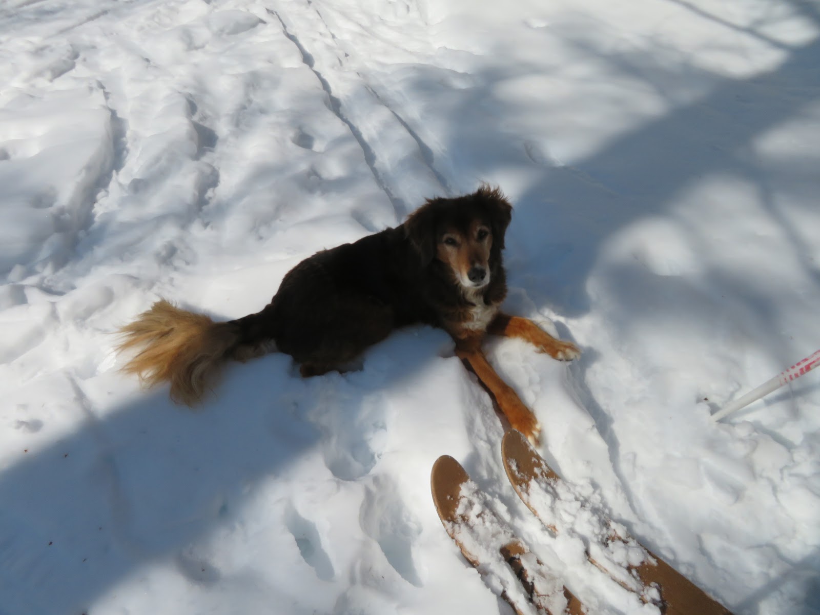
Friday, a great trail companion and going strong at age 13.


Dan drops down to the crossing of Avalanche Brook.


Snowbound Avalanche Brook.


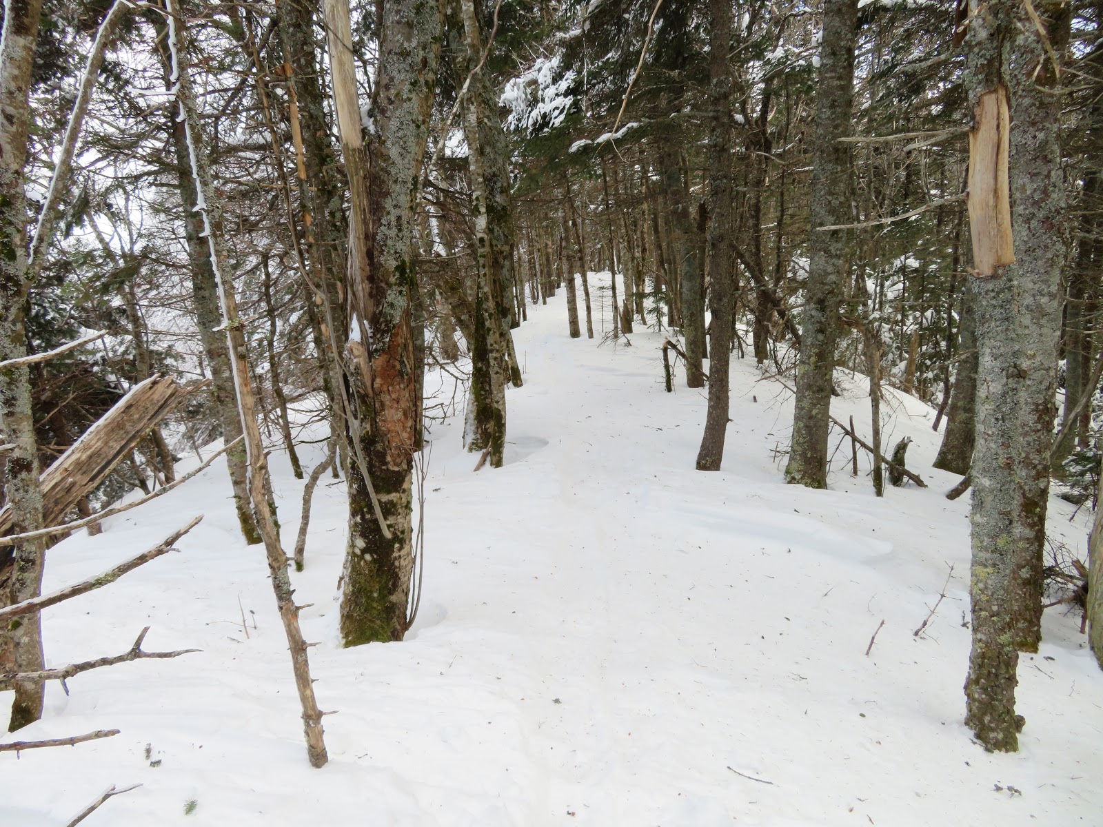
Into the Wilderness.


The snow was still powdery in the morning as we headed up the trail on this north-facing slope. There was a partial track from two snowshoers who had apparently descended (!) the North Slide a few days ago.


In the beautiful Avalanche Brook valley.


A gnarled old maple.


The trail passes by some great old yellow birches.


Let's do it!


We dropped down off the trail to Avalanche Brook and went up through this sunny glade.


Looking up at the top of the main part of the great North Slide. Dan has skied that about ten times. This would be his fourth trip to the east fork.


With warming temperatures, snow began clumping.


Dan's AT (Alpine Touring) skis are 140 cm (if I remember correctly) with skins underfoot.


A small open meadow marks the base of the east fork of the North Slide.


It was a slow climb, breaking trail through deep powder in the shade.


Dan heading up.


Getting steeper.


Yup.


I stayed along the edge to preserve the middle for Dan's run, and took to the woods around the steeper sections.


By now the 3+ feet of snow was wet and heavy, making for the hardest trail-breaking I've done in many moons. Took an hour and a half to gain 450 feet of elevation, one stomped step at a time.


The Osceolas came into view behind the hardwood slope of Scaur Ridge.


Nearing a more open patch on the slide at 3250 ft. that was my primary objective.


Getting there.


Made it.


Nice spot.


Scaur Peak close by to the right.


Mt. Tecumseh to the left, with a hazy Mt. Moosilauke seen through Thornton Gap.


Sat on my pack in the warm sun for a while. I had hoped to make it to the next open patch, 250 ft. higher, but the breaking was too ridiculously difficult to continue up.


Descending through this heavy snow was a real thigh-burner.


Side view.


Dan is all smiles partway through his run down the slide.


Coming down the next pitch.


There he goes!


Our parallel tracks.


Applying wax for better glide in the sticky snow.


That was fun - definitely worth the effort.


Descending the drainage.


Beautiful valley.


Overhang.


There's a lot going on under the overhang.


Late afternoon on Livermore Trail. It was a long and leisurely day, with an after-dark exit. The only person we saw was a skate skier flying by with his dog on lower Livermore Trail near dusk.


The original full extent of the North Slide, which fell in 1885, is shown in this photo taken in 1910 by Edward H. Lorenz. (Courtesy of WVAIA and Waterville historian Preston Conklin)


Friday, February 21, 2020

Scaur Ridge: 2/20/20


Had been thinking about heading up to Tripyramid's Scaur Ridge, but with nearly a foot of new snow that wasn't going to happen...until that evening when Rick Simmons posted a report on the New England Trail Conditions site that his group of four had taken that route to the Tripyramids the day after the storm. A big thanks to the group for breaking out that long route above the groomed part of Livermore Trail.

I expected the Livermore Trail would be swarming with XC skiers after fresh snow during vacation week...and was amazed when I arrived at 9:00 am to a completely empty parking lot. The first 2.2 miles of Livermore were beautifully groomed. Snowshoes are mandatory here - they barely dent the snow, but bare boots leave lines of divots that hinder and frustrate skating XC skiers. Also, note that per the USFS, during ski season dogs are not allowed on Livermore Trail beyond the Greeley Ponds Trail junction.


Per the NETC report, on Livermore Trail beyond the groomed section the trail-breaking group had both skiers and snowshoers. The snowshoe track was softly packed and unconsolidated.


Snowpack at 2000 feet.


Livermore winds its way up through expansive hardwood forest.


The clearing at Avalanche Camp, used by Parker-Young Co. loggers in the 1930s and 1940s.


This mellow trail high in the mountains is a longtime favorite of mine. It is well-maintained by volunteer adopter Dennis Follensbee, Jr.


Entering the Sandwich Range Wilderness with North Tripyramid looming ahead.


For nearly a mile the trail follows a straight old logging road contouring the slope on the north side of Avalanche Ravine.


This LIDAR hillshade image from the NH Stone Wall Mapper on the NH Granit website reveals the series of logging roads striping the slope, probably dating back to 1940s Parker-Young Co. cuttings. The Scaur Ridge Trail, which was opened in the mid-1950s, follows the prominent road about 1/3 of the way up the slope.


In winter, with the leaves down, Tripyramid's North Slide is a constant companion as the trail angles up through hardwoods in its lower half.


Snowpack at 3000 ft.


Climbing to the top of the Scaur Ridge.


The Scaur Ridge Trail sign was under the snow, with the Pine Bend Brook Trail sign still poking up.


 Pine Bend Brook Trail below the junction, waiting to be broken out.


North of the junction I passed through the portal leading to a winter glade of wonder. I snowshoed right over the hobblebush that gates this place in summer.


The trees here have a special quality.


In this snowfield you wander through a fantasyland of frosted softwoods.


Cold beauty.


Widely spaced.


Snowpack here was nearly four feet deep.


The flat-topped Fool Killer glimpsed to the east.


Tracks and trees.


And there are views here, too..though fuzzy today due to wind fog clinging to the peaks.


Completing a circuit around the glade.


Fresh moose sign along Pine Bend Brook Trail.


A favorite section where the trail traverses the narrow spine between Scaur Peak and North Tripyramid.


My next objective was a remnant open slide patch at the head of Avalanche Ravine, also known as the Ravine of Avalanches. When the huge North Slide fell during a great rainstorm in August 1885, several additional slides came crashing down farther up the ravine. I was heading for the top of the one that almost reaches the ridgeline in this photo taken in 1910 by Edward H. Lorenz. (Courtesy of WVAIA and Waterville historian Preston Conklin)


The woods were mostly open on the bushwhack to the slide patch...


...and the snow was deep and unconsolidated.


I had whacked up this old slide a couple of summers ago, and knew there were some good views. All I could see upon arrival today was nearby Scaur Peak.


I layered up and waited a while, hoping for some clearing, and eventually Hancock and Carrigain made a veiled appearance.


I dropped down for a view of the Osceolas behind a phalanx of tapered spruces.


The filtered sun highlighted the gaping gouge of the Painted Cliff.


I opted not to continue up the steep cone to the summit of North Tripyramid. Being alone on the mountain, mid-afternoon on a cold day, with a subzero night on the way, I was wary of the steep sliding descent. Instead, I returned to the glade, where the views had cleared somewhat, though the Presidentials remained smothered in a bitter fog.


Potash Mountain's ledgy knob, with northern spurs of Chocorua and Maine's Pleasant Mountain beyond.


Huddling together for warmth?


Sunshine brightened the descent of Scaur Ridge Trail.


Looking down a picturesque drainage crossed by the trail.


I like this spot showing both the North Slide and the gorgeous hardwoods down on the valley floor.


Top of the North Slide.


Shadows in the hardwoods.


Late afternoon on Livermore Trail. The mountains were not crowded today - in eleven miles I saw not one other person.