Wanted to get another snowshoe slide climb in before the big thaw. I had enjoyed a previous winter excursion to the 1954 slide well up in the Gale River valley, and felt it was well worth a repeat visit. On a partly sunny morning with temperatures heading to the upper thirties, I followed the familiar route along the Beaver Brook ski trails and snowmobile-packed Gale River Loop Road to access the Gale River Trail.
Known mainly as a route to Galehead Hut, Galehead Mountain, and South Twin Mountain, this is also a pathway to some good bushwhacking.
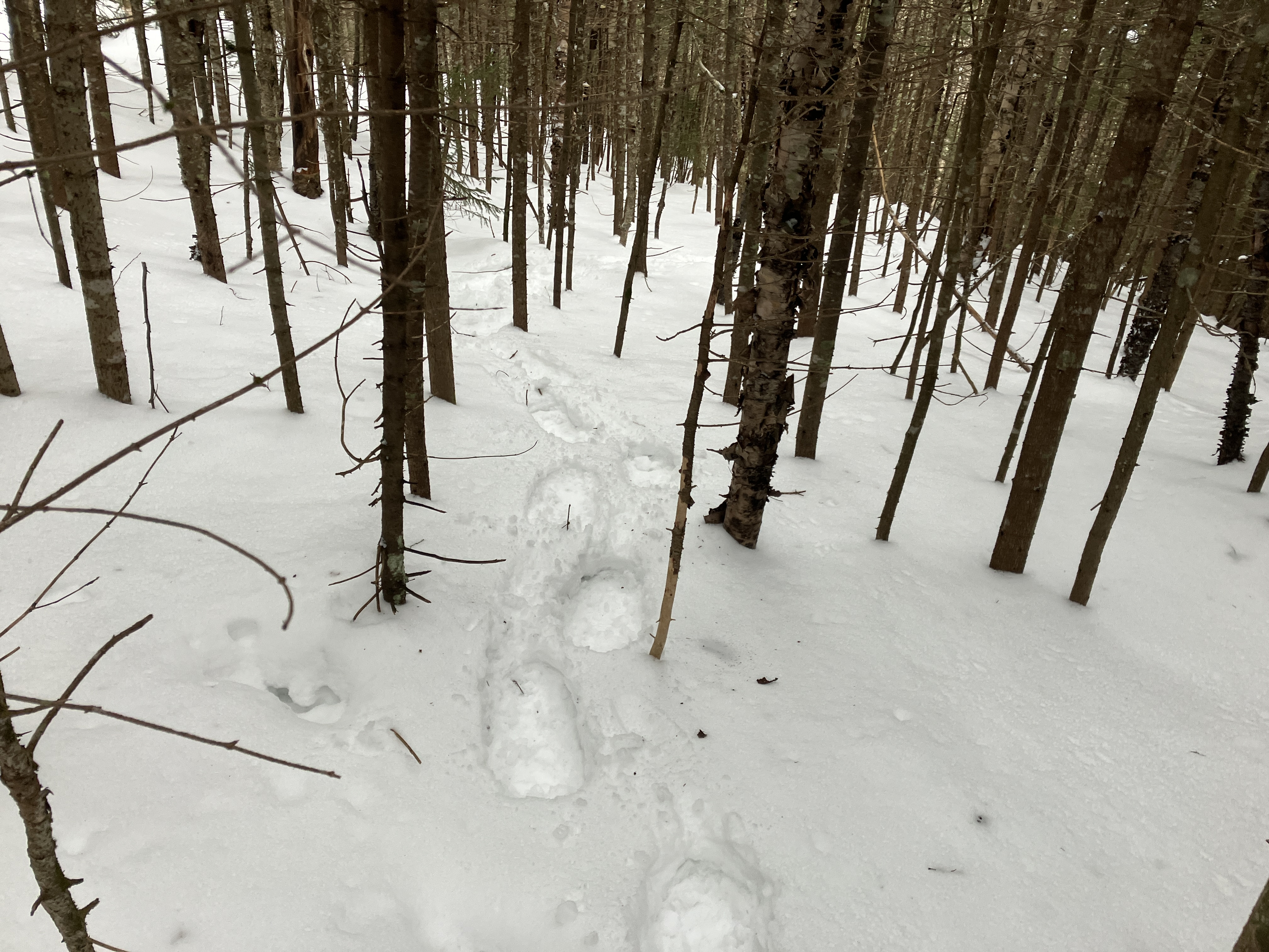
There was an excellent firm snowshoe track on the Gale River Trail, with no postholes. I was following the tracks of Ira and Karen, Catskill hikers working on their winter 48. An inch of powder had fallen overnight, and as the sun warmed it, the new snow began clumping under my snowshoes. I had to bang each snowshoe with a pole every few steps. Should have brought some Pam spray.
The North Branch of the Gale River was locked in. Not for long, sadly.
The 2012 relocation on Gale River Trail is one of my favorite trail sections.
I always take a break at this spot with a peek up at North Twin's own Giant Stairs.
Nice (but doomed) snow bridge on Garfield Stream.
More nice woods along the relocation.
Pleasant older section of trail three miles up the valley.
This open spot on the trail, with a view
of a spur ridge of North Twin, marks the point where the 1954 slide came
crashing down to the North Branch during the torrential rains of Hurricane
Carol.
A short, prickly bushwhack brought me to the lowest open patch on the slide.
I was surprised at how deep and unconsolidated the snow was here, in a winter with below average snowfall.
First view up to North Twin.
This is a sloping gravel bank in summer.
Heavy breaking made for slow uphill progress.
Semi-open but prickly woods.
Emerging at the base of the main part of the slide.
There are many white pines growing on this slide, similar to the situation on the Downes Brook Slide on Mount Passaconaway. The late Alex MacPhail, an AMC
hutman in the early 1960s and a keen amateur naturalist, spent many days
in 2009 and 2010 at the Gale River Slide studying its revegetation and soil development.
He documented his research in his excellent blog,
White Mountain Sojourn.
Of particular interest is the entry for 11/19/10, which contains
photos of the slide from 1968 and 1973. In another post (9/23/09),
MacPhail noted the white pines on the slide, far from their usual valley locations, and wondered how they propagated on this high slope.
Looking up the slide, into the early afternoon sun.
Peering north to a wild, cliff-shod spur ridge of North Twin. Vermont's Northeast Kingdom in the distance.
Pines, pines, everywhere pines.
There are at least three tamaracks (a conifer that loses its needles in winter) on this slide. This tree was not observed on any of the 22 slides surveyed by Edward Flaccus for his 1958 dissertation, Landslides and Their Revegetation in the White Mountains of New Hampshire.
Pristine snow slope.
Long shadows.
The slide offers a unique view up to massive North Twin Mountain and a shoulder with a wild and inaccessible band of cliffs.
Zoomed.
I made my way up to a favorite spot. With a temperature in the comfortable 30s and little wind, I was able to take in the scene for a while while sitting on my pack.
After a long break, with clouds rolling in, I packed up and headed farther up the slide.
Yikes! The snow was deep on this north-facing swath.
A good workout. Avalanche danger was rated low this day by the Mount Washington Avalanche Center, and this is a relatively low angle slide. Still, I exercised caution and skirted the steepest open slopes.
A band of snow flurries moved through.
Side view, with spruce traps waiting to snare an unwary snowshoer.
Upward.
Tracks.
Top o' the slide, at ~3000 ft.
Moody sky over the Twins.
Sno-cone rock.
Down through the spruces.
I descended along the sloping gravel bank.
Good 'shoeing descending the Gale River Trail.
Spring conditions coming.