Tuesday, November 29, 2016


LEDGE ON ACTEON RIDGE: 11/28/16

Today's hike was the final installment of a November Smarts Brook Bushwhack Series. It was a glorious late November day, the bright sun allowing for a 1 1/2 hour stay on a great ledge perch along Sandwich Dome's Acteon Ridge. I used the same approach from the Smarts Brook Trail that I navigated on a snowshoe trek to Sachem Peak last winter. The target ledge for this hike is partway along the ridge between Sachem Peak and the lower "Acteon Peak" to the west.


The morning sun was shining brightly on the beaver pond beside the Smarts Brook Trail.


I heard a beaver slap its tail when I was here last week, and they have certainly been busy of late.


This might be a bit ambitious...


I began the bushwhack with a crossing of Smarts Brook near the Sandwich Range Wilderness boundary.
Ice and snow-coated rocks necessitated a cautious crossing.


Sun, snow, hardwoods and blue sky.


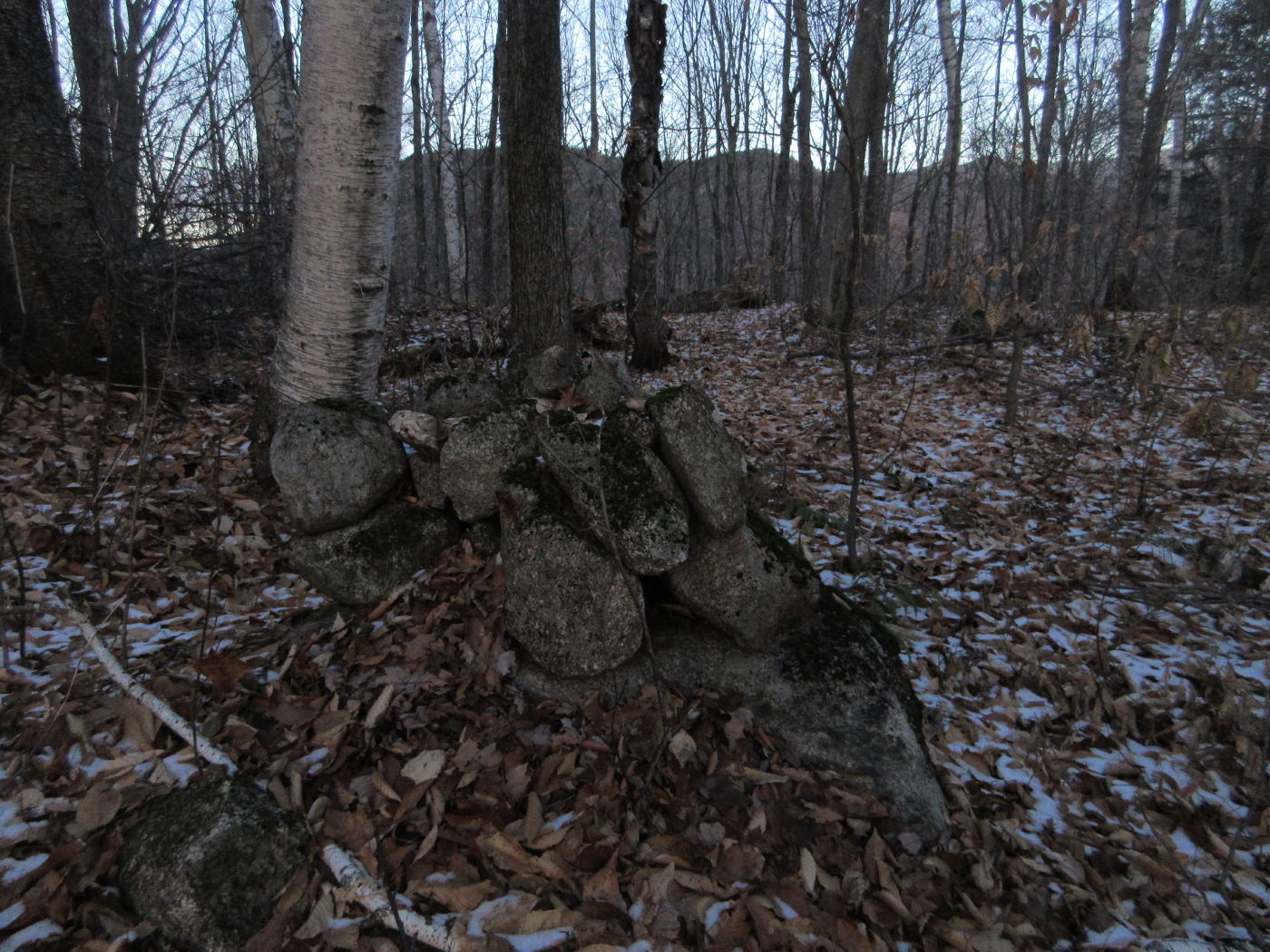
A shaggy boulder with a passenger on top.


The same rocks seen from the other side.


A patch of bare ground, thanks to its sun exposure.


A mossy ledge face.


November icicles.


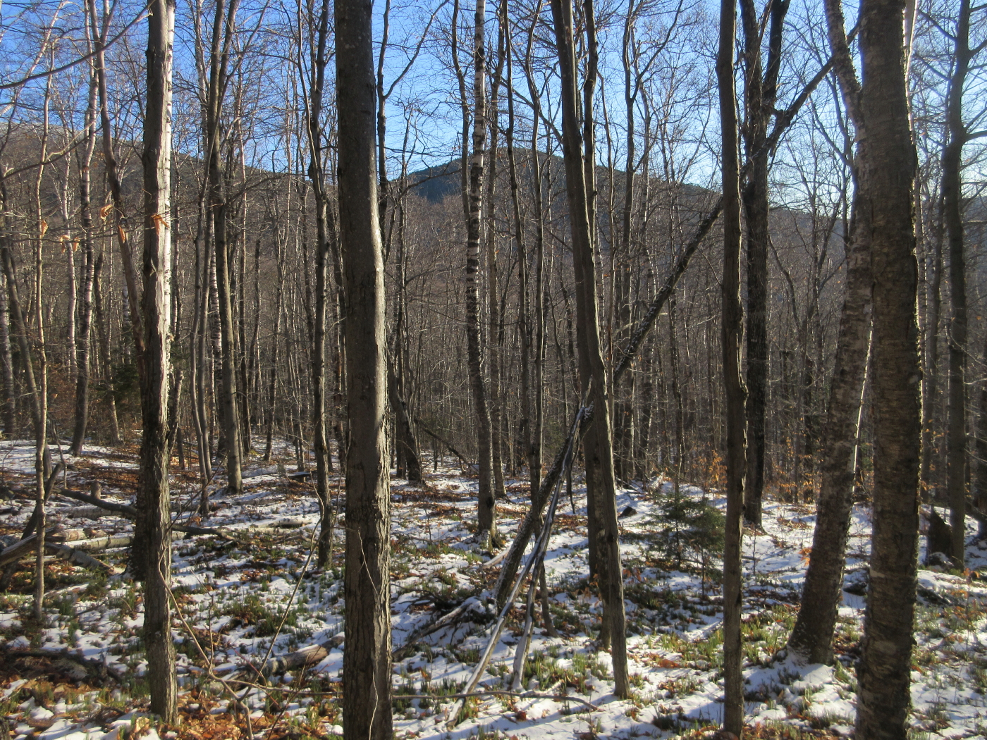
There are acres and acres of open spruce forest on the south slope of Acteon Ridge.
The only obstacles are the many small old blowdowns lying on the ground, like pick-up sticks.


This might have been a tote road in days of old.


Lunchtime arrival at the ledge perch. The two Black Mountains rise across the Smarts Brook valley.


A good dropoff in front.


The massive shoulder of Black Mountain.


This remnant patch of an old slide is a possible future bushwhack destination. Probably in summer, as it is shady and icy this time of year.


This ledge is a commanding perch with a wide view south and west.


Looking towards the Campton Range and Sandwich Notch.


West along the ridge to Acteon Peak, with Carr Mountain on the horizon.


A glimpse of the snow-caked summit of Sandwich Dome.


Not bad for late November...


Parting shot, 1:45 pm.


Another ledge just behind the perch offered a more westerly vista over the trees.


A ghostly Moosilauke hovers behind Welch and Dickey.


Descending through the hardwoods with the lower Black Mountain glimpsed through the trees.


Down through a mini-drainage. Bushwhacking really puts you in touch with the terrain.


Back across Smarts Brook.


Trailside view.


Fast-dipping sun along the Smarts Brook Trail.


Late afternoon at the beaver pond.


Last sun on the lower Black Mountain.


A cozy beaver home, awaiting a chilly late November night.


Thursday, November 24, 2016


SMARTS BROOK RAMBLE: 11/23/16

On a chilly, breezy November day with a bit of snow on the ground, I visited a few favorite spots in the Smarts Brook area and probed halfway up a ridge that descends off Black Mountain, the SW spur of Sandwich Dome.

The remains of an old dam on Smarts Brook can be seen right by the trailhead - it could be from an old mill, or perhaps was related to the Mad River log drives.


Smarts Brook along the Pine Flats Trail.


Rock wall along the brook. This is draped with wonderful ice flows in winter.


Smarts Brook Gorge.


Tall red pines on the plateau that gave Pine Flats Trail its name.


A pool on Smarts Brook along the Yellow Jacket Trail.


On the Yellow Jacket Trail. The trails in this Smarts Brook network were opened by the USFS in 1979 using old woods roads.


Morning sun on Smarts Brook.


A cascade along an unofficial path beside Smarts Brook.


And another.


Along the Smarts Brook Trail, approaching the Wilderness boundary.


 Into the Wilderness!


I bushwhacked up my target ridge after crossing the first tributary beyond the Wilderness boundary.


 A well-used bear tree.


One of several interesting boulders scattered through the forest.


This tree trunk was strangely blackened.


The nameless tributary on the south side of the ridge.


The lower half of the ridge is cloaked in an expansive hardwood forest, which is what motivated me to explore it.
 
 
This gnarled old maple has seen many winters.


Triplets.


Hardwood heaven on a chilly, breezy day.


Looking south through the trees to the lower Black Mountain.

Looking back.


A bit wintry on the ridgecrest at 2400 ft.


Spruce forest marching up the ridge, near my turnaround point.


Heading back down.


Pack vignette.


Parent and child?


More boulders.


Each has its unique shape.


Inlet to the beaver pond near Smarts Brook Trail.


Sachem Peak (double summit) and Jennings Peak.


Fresh beaver work.


Sandwich Dome and the two Black Mountains, from the edge of the beaver pond.


A closer look.


The snow-caked summit of Sandwich.


A long view to the lower Black Mountain.


I bushwhacked this ridge to Black a week earlier.


The Thornton-Sandwich town line, along an unofficial mountain bike trail off the Tri-Town Trail.


Welch/Dickey and Tecumseh ridges from a clifftop viewpoint along a  spur off the  bike trail.


Bald Knob and Acteon Peak.


Jennings and Sachem Peaks.


Route on the ridge in blue; yellow is Smarts Brook Trail (obtained from White Mountain Guide Online).