Bare ground rambling in the leafless hardwoods is, to my mind, the best of November. On a sunny, 40ish day I found bare ground hardwoods on the lower south slopes of Mt. Chocorua, along with fine views from big granite ledges.
The historic Hammond farmhouse is situated near the start of the Hammond Trail, probably the oldest trail up Mt. Chocorua, dating back to 1859. This privately-owned field also serves as an access to the wonderful trails in the Chocorua Conservation Lands, more than 800 acres managed by the Chocorua Lake Conservancy and open to the public for hiking and other recreational uses.
Trail sign in the Nature Conservancy's Frank Bolles Preserve, one of several parcels that make up the Chocorua Conservation Lands. It is named for the naturalist Frank Bolles, who owned a house at Chocorua Lake wrote the regional nature classic
At the North of Bearcamp Water, published in 1893.
The Old Mail Road, which once served as a route between Tamworth and Conway.
Geocache log at a location called "Blacky's Flats" on the Chocorua Conservation Lands trail map, available at
https://www.chocorualakeconservancy.org/public-access/trail-map/
An old logging road leads north into the WMNF and the Mount Chocorua Scenic Area.
A little bit of Chocorua trail history deep in the forest.
I headed north up a hardwood ridge on an unofficial modern version of a long-abandoned trail.
Lots of beech, but I didn't see many bear trees.
Red oak forest farther up the rather steep ridge.
A beautiful col with glacial erratics and tall oaks.
The ledges loom ahead.
A sketchy chimney that is occasionally ascended by Chocorua explorers. I took a circuitous route around the chimney - it looked too steep with slippery oak leaves underfoot.
After a steep climb I emerged on a SW facing ledge looking out towards the Ossipee Range and Red Hill.
Mt. Israel (L) and Sandwich Dome (R), beyond another low spur ridge of Chocorua.
Sandwich Dome anchors the far western end of the Sandwich Range, as Mt. Chocorua does on the eastern end.
Around the corner is a favorite big ledge that looks south over Chocorua Lake.
From here you also see Silver Lake (behind on the L) and Ossipee Lake (in back on the R).
One of the last days of 2017 where this will be comfortable.
Another ledge looks east to Bald Mountain, over which the Hammond Trail passes.
Rugged terrain!
My route to and from the ledges squeezed along the base of this rock face.
Afternoon low-angle light in the hardwoods.
A pretty stream drains a small valley on the south side of the ledges.
On the way back I looped around on several trails in the Chocorua Conservation Lands. This giant boulder stands guard by the junction of Old Mail Road and Bickford Heights Trail.
A split boulder at the base of Bickford Heights.
Approaching the summit of Bickford Heights (1080 ft.).
A peek at the peak of Chocorua.
Mt. Israel and Young Mountain from Bickford Heights.
Fallen trail sign.
Another boulder on the east side of Bickford Heights.
Last trail link of the day.
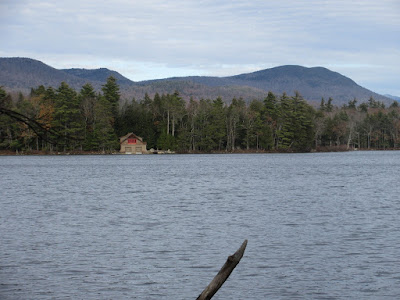
Heron Pond (aka Lonely Lake) with dusk coming on. This pond was featured in Frank Bolles's 1893 classic
At the North of Bearcamp Water.
Mt. Chocorua, the Hammond Trail ridge, and Bald Mountain.
Gnarled old trees march down to the water's edge.


