
It was a gorgeous spring day for a bushwhack up this ledgy southern peak of the Tecumseh Range from the Shattuck Brook valley on the south. It had been ten years since I'd been to the top of this 2609-ft. gem - a lesser-known neighbor of the popular Welch and Dickey Mountains - so a visit was long overdue.
I approached via Forest Road 23A off Mill Brook Rd., where I parked by a Forest Service gate. There was a recent dusting of snow on the ground, but by day's end it was gone from all save the most shaded spots.

Heading up the Shattuck Brook valley, for a little while I followed a remnant of what I assume was the USFS Shattuck Brook Trail. It was shown as a rough woods road on official WMNF maps from 1917 through the 1930s, and as a trail in 1941 and 1942. It dead-ended high in the valley. It was never described in the AMC White Mountain Guide, but the 1945 Supplement noted that it had been abandoned by the USFS.

A boulder family.

The south slopes of Fisher are cloaked in an expansive hardwood forest.

Spring beauty!

Open woods continued all the way up to the crest of the ridge.


A park-like glade.

The rock on the left could pass for the head of a T-Rex.

A roof cave.

Shelves of rock indicate an approach to ledgy terrain.

This big smooth slab was the first ledge I found on the top of the mountain.

My first objective was an expanse of ledges on the NE side of the broad, flat summit of Fisher. From here I could see Sandwich Dome and its southern shoulder, Black Mountain, peering over the long ridge that joins Dickey Mountain with Foss Mountain.

Gazing north to the higher peaks of the Tecumseh Range.

Looking across to Dickey Mountain. I knew I'd get an even better angle on this vista from my next ledge destination.

This SE-facing ledge shelf is one of the best of the many vantage points on Fisher.

From here, Dickey Mountain appears as a wild, sprawling mass rising walling in the Shattuck Brook valley.

A closer look at Dickey and its western ledges. I had originally hoped to extend the trip across the valley to some of those ledges and come down the Dickey Mountain Trail, but I could see that many of the slabs were very icy, so I decided to devote the rest of the day to the Fisher neighborhood.

Distant views south extended to Mt. Kearsarge and other horizon landmarks.

Cone Mountain and Dickey Notch.

Early spring perfection.

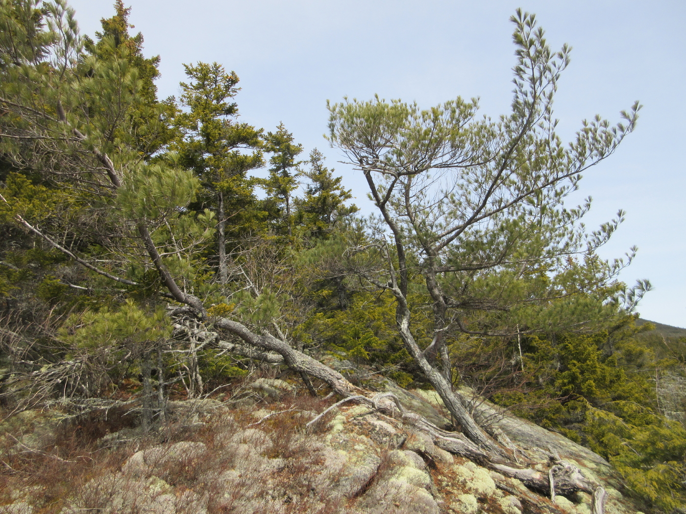
A weather-beaten pine.
Next I bushwhacked north to the flat, scrubby summit, stepping carefully to minimize trampling of lichens. The unofficial trail up Fisher from the SW ends here. In the late 1800s this was called the "Elkins Fisher," after the Elkins Farm at its base, to distinguish it from "Middle Fisher" (now called Hogback Mountain) and "Fisher Mountain," which is now a nameless SW spur of Green Mountain. An early ascent of today's Fisher was made by guidebook Moses Sweetser around 1875: "The Fisher-Mt route is entered directly from the Elkins farm by crossing long upland pastures and traversing a belt of tangled forest. Then the tourist attacks the bare white ledges of Fisher Mt., whose summit is reached after an hour's breathless clambering. Pleasant views are opened in the S. and W., and in advance is the white crest of Tecumseh." In 1877, AMC member F.W. Clarke (who gave the three Fisher names noted above) and companions ascended all the Fisher peaks and other spurs of Tecumseh with aneroid and mercurial barometers. Fisher Mountain was measured at 2621 ft., only 12 ft. higher than the elevation shown on the current USGS map.

A preview of the great northern vista.

I made my way down to this large NW-facing ledge, the best perch on Fisher and one of my favorites in all the Whites.

The wide vista includes Moosilauke, Wolf, the Kinsmans, Cannon and the Franconia Range.

The Franconia Range.

Mount Moosilauke, showing the ice cliffs in Jobildunk Ravine.


Mt. Tecumseh, the Hogback (formerly Hedgehog), pyramidal SW Green (the original Fisher Mountain), and Green Mountain.

Another great place to hang out. From here I could contemplate the route Mark Klim and I had followed up the Bald Mountain ridge a week earlier.

The fields of the Mill Brook valley, with Stinson, Carr and Kineo beyond.

Back down in the upper glades.

From here I made a loop diversion to three ledge outcrops on the SW ridge of Hogback Mountain. This was the first, with a window view to Cone Mountain.

The third and highest ledge area was the most open of the trio.

Another angle on Dickey. This spot felt very remote late on a balmy spring day.

This projecting slab was the neatest seat of the day.

Descending to Shattuck Brook through a wild and unkempt forest.

Open woods, once more.

Shattuck Brook, deep in the valley.

An amazingly flat section of the valley floor. It didn't last, and soon enough a steep sidehill pushed me to the south side of the valley.

Bullwinkle pellets.

A remnant icefall on the brook.

Pesky hobblebush and uneven footing prompted me to cross back to the north side. At the crossing, I enjoyed this downstream view.

Evening in the Fisher hardwoods.

Dusky birches.

A nameless tributary meanders through the forest.

More boulders.

An odd couple near the mouth of the valley.


No comments:
Post a Comment