
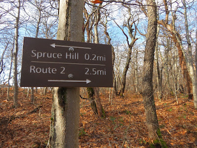
For our third day in the Berkshires, Carol and I lucked into a warm, sunny one, with temperatures in the valleys pushing 60. We spent most of the day on a geocaching hike on the Hoosac Range Trail, which leads 2.8 miles to a ledgy summit known as Spruce Hill. This trail was built in 2011 by the Berkshire Natural Resources Council, which acquired this 944-acre ridgetop reserve. It is one of the most pleasant and well-constructed trails I've ever walked on. It starts at an elevation of 2000 ft. off Rt. 2 (the Mohawk Trail) and has generally easy grades the whole way, always seeking out the most comfortable grades along the ridge.

A short distance in, the trail passes the Yoda Tree.

This was the site of the first of 17 geocaches we found along the trail. It was a leisurely hike!

A hike of only 0.8 mile leads to a spot called Sunset Rock, with a fine westerly view.

The trail was creatively laid out, taking advantage of many interesting terrain features.

One of several mossy ledge walls along the ridge.

This split boulder is a popular stop along the way.

Great trail craftsmanship.

This geocache was one of 12 in a fun Hoosac Range series.

Beautiful open ridgetop hardwood glade.

This sign marks the junction with a side trail to west-viewing ledges.
A really fine spot, looking to the Greylock Range on the left and the Taconic Range on the right.

There are many weather-twisted trees on this ridge.

Carol leads the way on the final approach to the summit of Spruce Hill.

The ledges at the 2566-ft. summit - a wonderful spot in the amazingly warm November sun.

Looking southwest to the shadowed Greylock Range, end to end.

The hardwood hills of Savoy Mountain State Forest sprawl to the south.

Summit benchmark.

Carol takes in the views.

The Dome - an aptly-named summit just over the border in Vermont.

The Taconic Range in the distance beyond the towns of North Adams and Williamstown.

Heading back to the north along the ridge.

Wherever there's a short pitch on this trail, there are well-built rock steps.

On the way back I made a short bushwhack to a beaver pond complex on the east side of the ridge.

At just under 2400 ft., this may be the highest natural water body in the state. Certainly one of the highest.

A gorgeous place in the low-angle afternoon sun.

One of my favorite scenes from the day.

The beavers have groomed this shoreline glade, leaving it wonderfully open. We hope to explore more of the beautiful Berkshires next year.


Steve,
ReplyDeleteGreat report on a region I hope to visit. Caltopo (20 foot contour) shows two ponds NNE about 1500 feet from Spruce Hill, I think where you off-trailed. Astonishingly, when in Aerial Topo Hybrid mode it displays four contours cutting through the ponds, something I thought impossible! Comments appreciated.
Hi Cliff, Hope all is well! Thanks - it sure looks like the contour lines are off. The ponds look, on the ground, as if they are on a shelf with a good dropoff to the east. Would be interesting to see them shown on a Lidar contour map. - Steve
Delete