
On a blustery early March day I snowshoe-bushwhacked up the west ridge of Mt. Lincoln - informally known as Carpenter's Ridge - to ~4000 ft. and found my way to the top of a slide for some sunny late afternoon views. I launched the whack off the lower part of Falling Waters Trail and enjoyed excellent snowshoeing in open hardwoods, making tracks through 6-8" of fresh powder atop a firm base. It was a good way to leave behind, for a few hours, a world turned upside down by an evil madman.
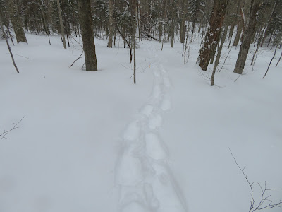
An expansive hardwood forest on these lower slopes.

Nearing the top of the hardwoods at ~2600 ft.

One of several early 1900s logging tote roads that run across the lower ridge. The ridge's informal name is for Frank O. Carpenter, an avid tramper who cut a trail up this ridge to Mt. Lincoln in 1897. The trail was soon obliterated by logging; this is one of several tote roads still visible on the ridge.
Navigating through a scrappy section.

A section of the ridge with lots of blowdown. There was always a way around.

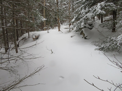
Weaving through an area of open conifers. Nice!

At ~3450 ft. a scrubby area at the south edge of the ridge revealed a vista of the slides in Dry Brook ravine, including the long one on the right that I had visited a week earlier. The view was fuzzed out by fog and flurries, but I figured if the sun eventually appeared I could revisit this spot on the way down.

Shining Rock Cliff, near the Falling Waters Trail.

The sun began to emerge as I continued up the ridge.

Much weaving and branch-banging to maneuver through snow-covered softwoods.

The woods getting tighter and more prickly.

Glimpse of a huge icy slab under Little Haystack.

Numerous snowdrifts up here, making breaking more strenuous.

Rime frosting on the trees.

After pushing through some thick woods, I reached a tiny col on the ridge at ~3980 ft. From here I headed down and across the steep slope on the north side in search of the top of a prominent slide.

Found it!

As luck would have it, I emerged at just the right spot to access a large flat-topped rock near the edge of the slide that provided a dramatic viewing perch.

View out to Cannon Mountain and the Old Bridle Path ridge, with Green Mountain peaks on the horizon.

The Agonies, with Greenleaf Hut visible in a little notch at top center.

The ridge leading up to the summit of Mt. Lafayette.

Cannon and North Kinsman.

Down-look from the rock perch.

Top of the slide.

The slide as seen from Old Bridle Path. The boulder perch is visible near the upper right corner. The slide likely fell during the great rainstorm of November 1927, as it looks quite fresh in a photo taken from Old Bridle Path in 1929.

Looking back at the route I took down and across to the slide.

Following my tracks back down the upper ridge. Had I started earlier than 11:00 am (the late start due to snow removal at home and dubbing around too long), I would have had time to perhaps go higher up the ridge and seek out the top of a slide on the south side. Not today.

Somewhere on the upper ridge the scrub had grabbed a bottle of Gatorade, wrapped in a sock. I wasn't sure I'd find it on the way back, but there it was, hanging from a stub.

With the views now clear, I returned to the opening on the south edge I had found on the way up. Here I had a view up to the craggy apex of Carpenter's Ridge and the lofty slide on the south slope.

Late afternoon light on the amphitheater at the head of the Dry Brook ravine.

The Gargoyle crags on the ridge south of Mt. Lincoln.

A closer look at the 2017 slide (on the right) that I visited the week before.

Descending into the sun.


No comments:
Post a Comment