
I had plans for a long bushwhack up Walker Ravine on the flank of Mt. Lafayette, dependent on snow conditions off-trail. On a wild, windy morning with snow flurries, there were no cars in the Old Bridle Path/Falling Waters parking lot at 10:00 am.


The inner sanctum glade of Avalanche Ravine, flooded with late winter sun.

Looking back, with the ski trails on Mt. Tecumseh glimpsed through the trees.

Gateway to the North Slide.

Bare rock on the upper slide.

Despite three major thaws, the snowpack was still significant on the floor of the ravine.

Looking up the snowy swath of the North Slide's east fork.

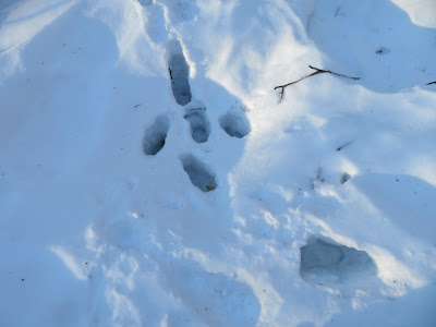
Tracks.

Starting up the North Slide from the very bottom, along a short section bypassed by the Mount Tripyramid Trail.

The snow was nice and grippy for 'shoeing up the chute.

Ascending a gully section that the trail bypasses on the left. It's steeper than it looks, a slope of about 30 degrees.

Looking back.

I stopped at 3000 ft., about 1/4 way up the slide, as the next section would have been sketchy to come down. Here I made a seat in the snow beside the trail and enjoyed a nice view of the Osceolas with Scaur Ridge in the foreground and Mt. Moosilauke in the distance. This lower part of the slide was much wider after it fell in 1885, but is now largely revegetated.

Zoomed.

Heading down the unbroken trail where it parallels the gully.

Looking back up.

A side view shows the steepness.

Near the bottom the trail splits left and the slide track continues ahead a short distance to the valley floor.

Serious posthole action along the trail. Ouch!
Dance of the yellow birches.

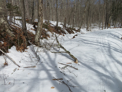
Funky track.

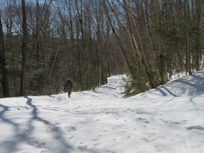
Homeward bound on Livermore Trail.


No comments:
Post a Comment