A return to the
interesting Breadtray Basin area on the SW side of Mt. Osceola. After
ascending a ridge to a big rock slab with a view over the valley, I
dropped into the basin for some more exploring.
I
started up the East Pond Trail from Tripoli Road, then bushwacked up
the ridge that extends SW from West Osceola. I was pleasantly surprised
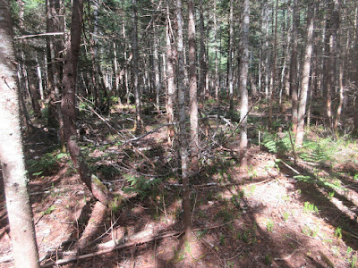
at the generally open woods on this ridge.
There were even a few birch-and-fern glades along the crest.
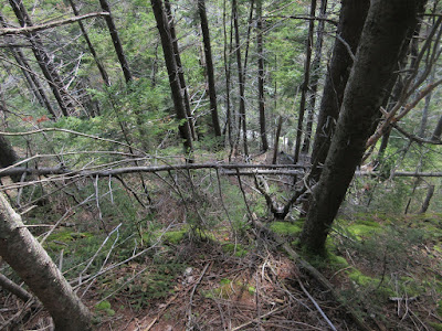
Blowdowns have opened gaps in the canopy.
There's the ledge, down yonder.
Prickly pick-up sticks behind the ledge.
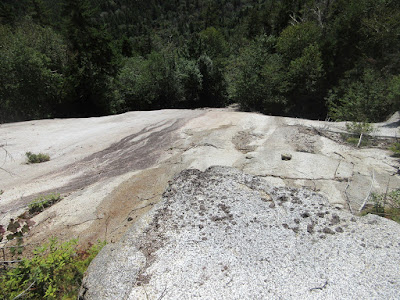
An impressive white slab!
Looking across the slab to the West, Middle and main peaks of Osceola.
West and Middle.
Looking across the basin to the fine cone-shaped peak of Breadtray Ridge. Mt. Tecumseh and West Tecumseh are to the right.
The full spread of Breadtray Ridge. The Mt. Osceola Trail is on the other side.
Looking down the slab from a large boulder perched on top.
A classic lazy, hazy late summer day.
The Breadtray Basin slides. Last week Mark Klim and I ascended most of the way up the right-hand slide.
Parting shot.
I went partway back down the ridge, then descended rather steeply into Breadtray Basin through mostly open woods.
Down on the broad, flat floor of the basin.
I ascended through rough terrain to a brookbed slab spotted on Google Earth.
Not much of a cascade today. Maybe in high water.
Side view.
Heading back through the worst woods of the day.
This made up for the cushy woods up on the ridge. On a long bushwhack, sooner or later you pay the piper.
I spent an hour in late afternoon sun at a sweet spot atop a cascade Mark and I had stumbled upon last week.
Looking down the cascade.
Pothole.
Looking up the ledgy cascade.
Last look, time to head out.
At an old logging camp site, a rusted tobacco container.
Following a moose path on the floor of the basin.
Breadtray Ridge from a small shrubby meadow.
West and Middle Osceola.
Looking up at the white slab, where a few hours earlier I had been lounging in the sun atop the square boulder.
The top of one of the poles that held up the Osceola fire warden's phone line along the abandoned Breadtray Basin Trail.
There was virtually no trace of the old trail in the lower half-mile, but I did come across this sheathing on a long-fallen and partly buried telephone pole.


I love reading your posts and looking at the fantastic photography. I was wondering how you navigate through this stuff. Are you using a compass or just using a map and heading toward a large object? I get so twisted up in these dense woods that I need a compass to go with my map. Do you often run into something like a large swampy area that you have to somehow navigate around?
ReplyDeleteThanks - for navigating I use a combo of map, compass and GPS, with some pre-hike research on Google Earth and USGS maps on CalTopo. My feeling is that the key to bushwhacking is relating the terrain on the ground to what's shown on the map. You often do have to skirt around wet or overly rocky areas, blowdown fields and other obstacles.
DeleteSteve