
An interesting and at times scratchy bushwhack up the SW ridge of Mount
Kancamagus to two sets of cliffs, including a wild, lofty flume at the
K1 Cliff.
The
two cliffs, with the SW cliffs on the right and K1 Cliff on the left,
are seen head-on from a viewpoint on Irene's Path. The "K1" name was
applied by Waterville hikers in the early 1900s; K is for Kancamagus.
The K2 Cliff is farther north.

I
followed Greeley Ponds Trail to its former crossing of the Mad River at
Knight's Bridge, which was washed out. I forded the stream and
continued up a short abandoned section of trail that was severely
gullied by Tropical Storm Irene.

Looking up the Mad River.

The start of the abandoned Flume Brook Trail, also washed out by Irene.


By this junction is the brushy clearing of Camp 5, a logging camp used by the International Paper Co. in the early 1900s and the Parker-Young Company in the 1930s.

There
are a number of artifacts here, including the top of a cookstove. Note
that it is illegal to remove artifacts from the WMNF; please leave them
for others to see.

This looked like some type of fuel dispenser, probably for trucks used to haul wood out in the 1930s, after the conclusion of the river drives era on the Mad River.

An 82-year old license plate.

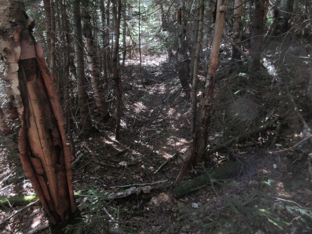
Irene destruction along Flume Brook.

This little cascade on Flume Brook is known as Towle's Falls, named for the Hon. Geo. M. Towle of Brookline, MA, an early summer visitor to Waterville.

Interesting rock beside the ski trail.

The woods heading up the SW ridge were a mixed bag. Some stretches were pleasantly open.

Other sections were brushier. I had been up this ridge to the SW cliffs three times on snowshoes (the first time with Cath Goodwin back in the 90s), so I got a little careless on route planning and ended up in some thick, bouldery conifer forest instead of the open hardwoods that were farther to the west.

I pushed through the nasty stuff and eventually found those nice hardwoods.

Heading up a steeper slope to the area of the SW cliffs.

I cut over too soon and ended up at the base of the cliffs, necessitating a scramble up a steep gully. Not at the top of my navigation game today!

Looking down.

There's not much room at the top of the SW cliffs, but I found a small spot behind the edge to relax for a while in the hot sun. A neat wild spot.

The cliffs offer a long view south to Sandwich Dome.


Mt. Tecumseh to the SW.

Looking SE to the Tripyramids and Scaur Peak beyond rounded Flume Peak.

A neat angle on the Tripyramids and the North Slide.

Birch-and-fern glade up the ridge behind the SW cliffs.

More ferns.

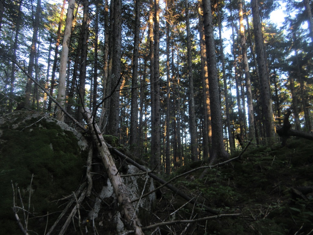
Heading north up the ridge was mostly pleasant going.


The woods thickened considerably when I branched NW off the ridgecrest towards the top of the K1 Cliff. I made some use of an old tote road that contoured the slope.

Closer to the cliff I found another corridor. I wondered if this could be a trace of the short-lived trail that Watervilleans blazed from Greeley Ponds Trail to the K1 Cliff in the early 1900s. The 1915 Goodrich map of Waterville showed the trail making a direct ascent, which seems improbable given the terrain. But maybe this was just another tote road.
The top of the K1 Cliff is difficult to access due to very steep, thickly-grown terrain above. Years ago I tried on snowshoes but didn't get to an open view. Did better today, first dropping my pack and slithering down to a scrubby opening atop a small crag towards the south end of the cliff.


The
main feature I wanted to find was called the Kancamagus Flume by Arthur
L. Goodrich in the 1916 edition of his guidebook to Waterville Valley.
He described it as a "strange cleft in the rock on the western flank of
Kancamagus." It is seen as a dark slash at the upper left of the K1
Cliff in this photo taken from a talus slope on East Osceola.


Peering down into the flume. Some good-sized trees are thriving on its floor.

The upper end of the flume disappears into the forest above.

From here there was a view across to a backlit East Osceola, with the main Osceola summit peeking over in back. The spectacular Painted Cliff was in shadow.

Looking towards Mt. Tecumseh, the logging roads striping the slope above Greeley Brook stand out.

The flume and East Osceola together, for perspective.

Looking down from a higher angle.

The ultimate head of the flume, in the woods. If it weren't so late in the day I would have been tempted to descend a little way into it.

Tight but not terrible woods heading back across to the ridgecrest.

Another spot that looked like an old trail, perhaps.

Evening in a fern glade.

I again ended up in some rough, blowdown-strewn spruce forest on the way down. Darn!
The wild Kancamagus Brook.

Stove door near the site of Camp 5. I did make it out without needing the headlamp.


Nice trek Steve! I wad born in Brookline so I really enjoyed that tidbit on the Hon.Towle ! Keep them cards and letters coming!
ReplyDeleteThanks, Jimmy! Hon. Towle was there in the late 1800s/early 1900s, I presume.
Delete