
With the snow finally melted off most of the high wooded ridges, a longtime favorite trek over the wild Hancock peaks beckoned. When the 4000-Footer Club was first created in 1957, a trip to the then-trailless Hancocks was a bushwhack epic. Once the Hancock Loop Trail was cut in the mid-1960s, these peaks became much more accessible. Still, they retain an aura of mystery and wildness, and the sections leading up to the North and South Peaks are steep enough to get your attention.
The only vehicles parked at the Hancock Overlook on this Wednesday morning were AMC and Forest Service trail crew pickups.

From the trail sign, I followed the gravel path down to the crossing of the Kancamagus Highway at the hairpin turn.
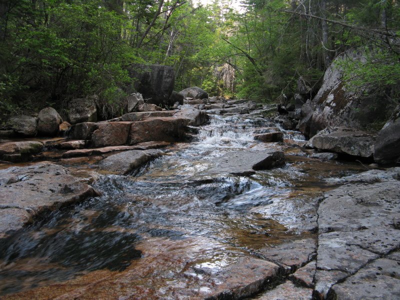
 The first 1.4 miles of the Hancock Notch Trail provide mostly easy walking, with an occasional washout dip, along the grade of an 1890s vintage J.E. Henry logging railroad.
 The trail swings right where the railroad grade continues ahead across the North Fork of the Hancock Branch, seen here looking downstream.
From a bank high above the stream you get a peek at the sharp summit of South Hancock poking above the treetops.

At 1.8 miles Mt. Hancock hikers turn left onto the Cedar Brook Trail. Over the years I have occasionally talked to peakbaggers who missed this turn and ended up in the spruce-wooded flats of Hancock Notch.

Partway up the first section of the Cedar Brook Trail, I made a short but difficult bushwhack down to the North Fork in search of cascades. I found this small one where I emerged on the brookbed.
 There was a larger cascade downstream, but it was tilted onto the west edge of the brook and was hard to get a good look at.
 Returning to the trail, I visited a nice ledgy waterslide reached by a short path just before the first crossing.
Looking upstream from the waterslide.
A well-beaten path bypasses the first two crossings on the trail (which are only about 100 feet apart), and seems to have become the standard route. The other three crossings on the Cedar Brook Trail were pretty easily manageable with the water level being low. This is the fourth crossing.

The fifth crossing.
 After the fifth crossing the trail traverses an interesting semi-open boggy area.
 Rhodora, a shrub of the rhododendron family, was in bloom here.
A shady spruce grove just before the junction with the Hancock Loop Trail.

 Partway up the Hancock Loop Trail I chatted with Ron, a hiker from New Jersey who had just finished his 4000-footers on the Hancocks and was on his way out. He said the trail crew was ahead of me, doing a spring sweep of the Hancock Loop Trail, cleaning drainages and chopping blowdowns with their axes. I soon came upon evidence of their good work.
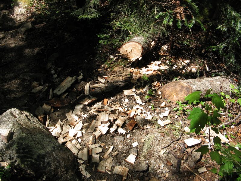 As I approached the Loop Junction, the woods lining the trail became very thick. Without the cleared route, this could be a nightmarish bushwhack.
Just before the Loop Junction there are glimpses up to the Arrow Slide on North Peak, by which early ascents of the mountain were often made.

Given the choice of ascending the North or South Hancock first, I usually choose North, since you drop down 100 ft. to a brookbed and if you go in the other direction you have to climb that 100 ft. on the way out.
 Only rarely have I seen water in this flat, open area at the bottom of the 100-ft. descent. This is obviously a popular camping area. The overgrown runout below the Arrow Slide is a short distance west.
 I climbed perhaps a quarter mile up the trail to North Hancock, then whacked across the slope to the rubbly lower part of the Arrow Slide.
From the bank above the edge of the slide there was a nice view of the Osceolas.
 Out on the slide South Hancock loomed imposingly.
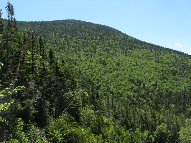
Back in 1988 I climbed North Hancock via the Arrow Slide with Vin Spiotti, now manager of the AMC Highland Center. I thought the upper part of the slide was very sketchy with gravel and loose rock sprinkled atop smooth, steep slabs of granite. A slip would be disastrous. I bushwhacked through dense scrub along the edge to bypass the trickiest area. I had foolishly brought a walking stick, which prevented me from using both hands for balance on the slabs. Vin saved the day by securing the stick under his fanny pack, then continuing up what he called 5.4 friction climbing. Near the top we took the left fork and made a steep, prickly whack, emerging at the North Peak outlook. No way was I going to repeat that climb today, so I returned to the trail after enjoying the view.
The trail climbs 1,100 ft. in about 0.6 mi. up North Hancock. Nothing tricky, just a long steep slog. Parts of this section were improved with rock steps by the AMC trail crew, partially funded by a donation from the Four Thousand Footer Club.

 At about 4100 ft. there's a view back to South Hancock from an open spot. Above here the grade eases off, and the rest of the climb to the summit is moderate to easy.
On a clear day, a visit to the North Peak outlook is a must.
 I really like the North Hancock view. The Sandwich Range is seen beyond nearby South Hancock.
Looking south to Mt. Huntington, Mt. Kancamagus and Sandwich Dome, front to back. Tripyramids and Whiteface on the L.
 Unique to North Hancock is the vista down the North Fork valley to the rugged ridges of Osceola.
 Two bogs can be seen on the broad floor of the North Fork valley. I visited the larger and farther one twice last winter, once with John Compton and once solo. Neat views up to the Hancocks from down there in winter.
Despite a persistent swarm of black flies, I spent about two hours in the sun at this fine spot. Among the several hikers who came by was Cheri Perry, who with her husband Turner Wilson runs a unique business called Kayak Ways (www.kayakways.net) in Brownfield, ME. They are both world class paddlers and specialize in teaching the skills of traditional Greenland Style kayaking.
 The resident Gray Jays dropped by for a visit, and their importuning (a fancy word for begging) netted them handouts from several hikers.
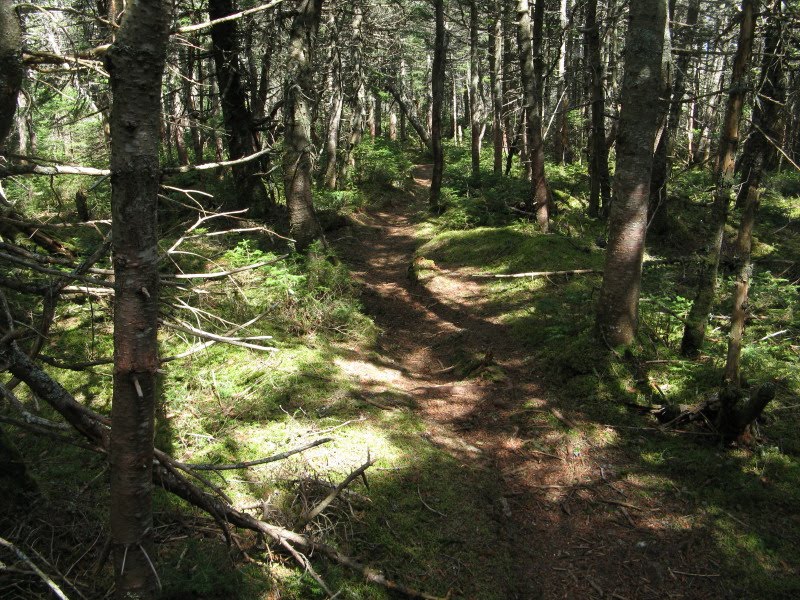
My favorite part of the Hancock hike is the walk between the peaks, meandering through moss-carpeted balsam forest with a real sense of remoteness.
 Some areas of forest look nearly impenetrable, a tightly woven barrier of scrub strewn with numerous bony blowdowns.
 Back in the 80s, Mike Dickerman and I dubbed this muddy spot between the North and Middle Peaks "Wade's Bog," after the hitting-machine Red Sox third baseman.
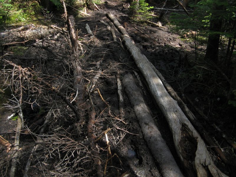
The climb to South Hancock is mostly at an easy grade along a neat narrow ridge.

Partway up you can scramble up a rock on the R for a great look at North Hancock and the Arrow Slide.

This spot also has a view W to Mt. Hitchcock, Big Coolidge Mtn., Mt. Wolf, Whaleback Mtn. and South Kinsman.

The summit itself has views only with late winter deep snowpack.
 A spur path drops to the SE outlook, which is getting more and more grown up but still offers a pretty good standing view over the Sawyer River valley to the Tremont-Bear-Moat region....
...and the eastern Sandwich Range.

Back a few yards along the Loop Trail there's a window view to Mt. Carrigain.
 As you begin the descent off South Peak, the trees part for a nice vista across the Pemi Wilderness to Owl's Head and the Franconia Range.
The upper part of the descent is an eroded mess of loose rock and gullied trailbed.

 Below 3700 ft. the footing improves, and the remaining walk out is pretty mellow. Farther down the Loop Trail painted trilliums were still in bloom.
The late afternoon light was nice in this open spruce stand. It may not provide an "alpine" experience, but the loop over the Hancocks is a very rewarding hike. And for off-trail adventuring, the mountain offers several rarely trodden ridges and ravines in a setting of supreme isolation. Suffice it to say that the late Guy Waterman, master bushwhacker of the Whites, was a confirmed Hancock devotee...


No comments:
Post a Comment