
Due to the stifling heat and humidity, and the ridiculously hazy views, I abandoned a plan to climb to The Howks on Mt. Madison, and decided instead to bushwhack into Bumpus Basin, the little-known and trailless bowl-shaped glacial cirque on Madison's northern side. My first visit to this ravine was back in June 2009, when by chance both John "1HappyHiker" Compton and I headed in there on the same day to search for an old logging camp, and then teamed up to probe farther up along Bumpus Brook.

After an initial stretch through the woods, Howker Ridge Trail follows Bumpus Brook along its west bank. This lower section is on private land. The brook and basin were named for Silas Bumpus, a farmer in Randolph during the early 1800s.

Shortly before entering the WMNF, the trail offers a view of Stairs Fall across the way.

Just above is an interesting gorge known as the Devil's Kitchen.

Peering down into the gorge.

Pleasant walking leads up to the stream crossing at Hitchcock Fall.

I left the trail just before the crossing and continued up along the west bank, bushwhacking through some rough terrain past a couple of small cascades.

This one was playing hide-and-seek.

Farther up was a nice cascade both John and I had visited back in 2009. This may be Muscanigra Fall, a name applied in the early days of Randolph hiking, presumably because the black flies were swarming here.

Closer look.


The corridor was fairly obvious even in the open woods.

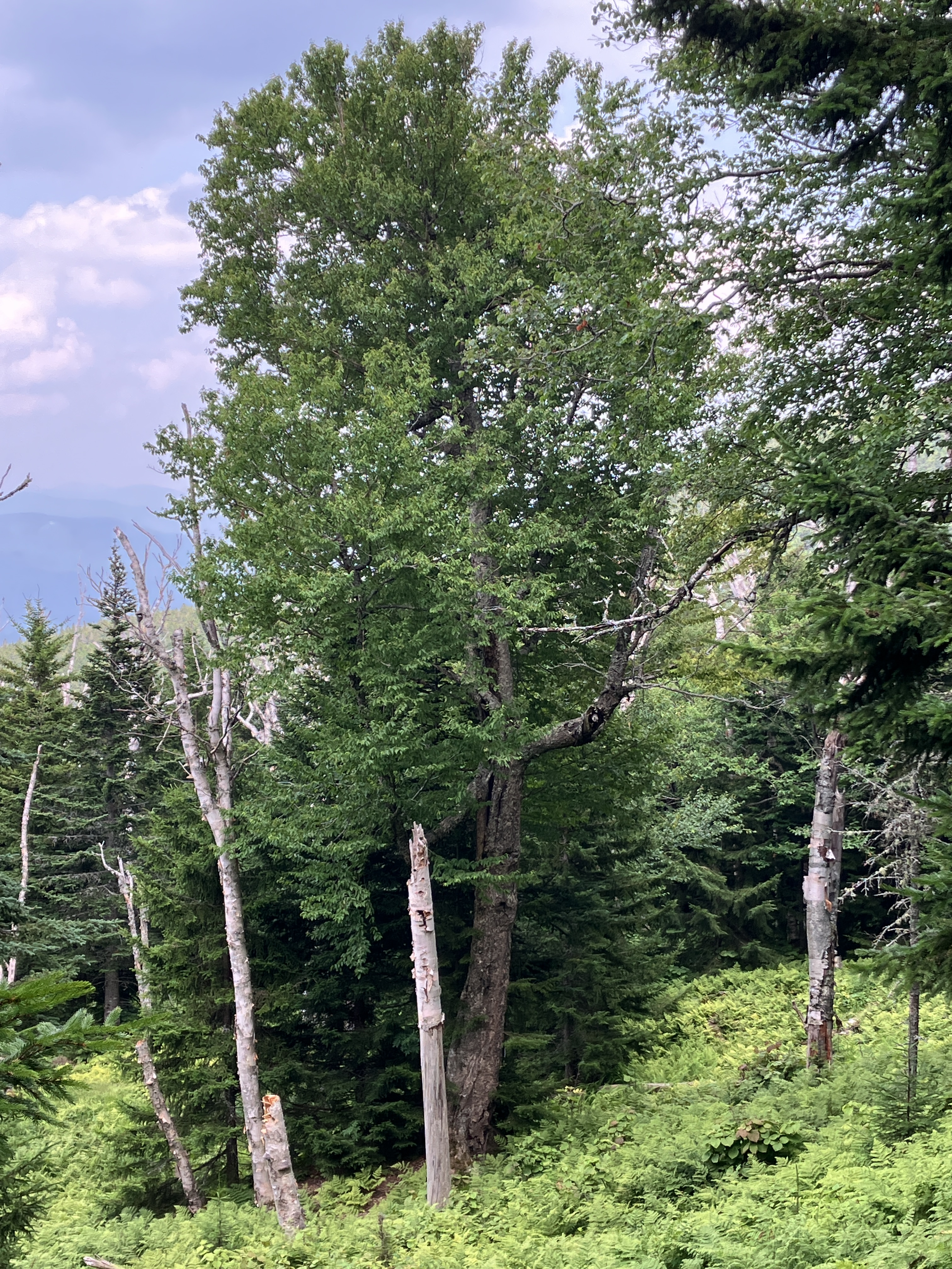
Fine hardwood forest in this valley with an ample supply of hobblebush.

A stalwart old yellow birch.

Lost the road here for a while.

Farther into the basin, the moose were using the old road as a travel route - just as we found back in 2009. For just a few years this road was part of the route of the Bumpus Basin Trail. This mysterious route went
partway up the valley, then swung up to meet the Watson Path on Gordon
Ridge. It appeared in only one edition of the AMC White Mountain Guide (1940) and then vanished.

The old road led me up to a series of gorgeous open fern glades, amidst which is the site of the early 1900s logging camp.

The moose have been browsing on the hobblebush.

Looking across the basin to the rising slope of Howker Ridge.

A towering, wide-spreading red spruce stands watch over one of the glades.

A feathery meadow.

A peek at the flat-topped First Howk on Howker Ridge.

Moose calling card.

Passing through Kilkenny-like woods en route to another set of fern glades.

Fern nirvana.

Sunlit fields of them, with a hazy distant view to the lower Mahoosucs.

A magnificent yellow birch.
I enjoyed a slow meander through the glades, watching my footing carefully.

Gorgeous in the hot sun.

A moose bed.

Park-like.

Shapely conifers.

Cow parsnip at the logging camp site. Apparently this plant had its uses as a salve for bruises and sores, which would be fairly common in a lumber camp.

According to the book Randolph Old and New
by George N. Cross, there was intensive logging on the Northern Peaks
for several years starting about 1904. The road into Bumpus Basin was apparently built in 1906. The heaviest cutting occurred at
the middle elevations, primarily for spruce. In 1910 the Randolph
Mountain Club (www.randolphmountainclub.org) was founded to restore many
of the trails on the Northern Peaks that had been obliterated by the
logging. Today the RMC maintains over 100 miles of trail plus two cabins
and two lean-tos. They also publish an excellent guidebook and map and a newsletter with many
interesting historical articles.

Stove parts.

Of course I left these items as I found them. It is both illegal and unconscionable to remove artifacts from the WMNF.

Coffee, anyone?

The old logging road/moose path was easier to follow going downhill.

As John and I had done in 2009, partway down the ravine I dropped down to cross Bumpus Brook and make a short climb through rugged spruce terrain to Howker Ridge Trail on the lower part of the ridge.

I came onto the Howker Ridge Trail on a shoulder at 2400 ft. This beautiful spruce-wooded crest is one of my favorite sections of trail in the Northern Presidentials. From here I headed uphill towards the little knob long known as Blueberry Ledge, 300 ft. higher.

Along the way I made a foray out to the edge of the ridge looking for possible views, but no luck.

The climb to Blueberry Ledge is steep at times.

The crest of Blueberry Ledge is at ~2690 ft. A century ago it provided views north and west, as noted in the 1916 edition of the AMC White Mountain Guide. No views here any more. The Howker Ridge Trail was built by Randolph hikers Eugene B. Cook and William H. Peek from 1899-1901. The ridge was named for William Howker, a turn of the 20th century Randolph farmer.

A beautiful stretch of trail along the short, level crest.

Another search for off-trail vistas yielded only this tiny peek at the summit of Madison.

Heading back down the trail, I passed this wood sorrel garden atop a boulder.

My last objective for the day was a set of ledges on the north slope of Blueberry Ledge - the only remaining open patch on this part of the ridge. I chose a very poor route to head eastward to the ledges.

Slow going in some rough terrain.

I came in too low and had to make a steep 100-ft. climb to access the ledges, which I did not relish towards the end of a long, hot day. It took 40 minutes to cover 0.3 mile. Sloppy navigation!

I did not expect bang-up views from these ledges, and found none. But there was a decent view across to Black Crescent Mountain, and there would have been some distant vistas had it not been so horribly hazy.

Heading back westward across the ledges.

For the return trip I stayed higher up in better terrain and woods.

I was back to the trail in 15 minutes.

Descending through a beautiful spruce forest.

Every Randolph Mountain Club trail I've been on recently has had cleaned waterbars. Good work!

Near the bottom of the descent is a short side path worth taking.

Looks like it could be 20 feet deep. Yikes!

Hitchcock Fall is a multi-part tumble of Bumpus Brook.

Howker Ridge and Mt. Madison at dusk.


No comments:
Post a Comment