


Beyond where grooming ends, Livermore Trail was pretty choppy. It was easier to snowshoe along the edge on firm snow.

Turning onto the south side of the Mt. Tripyramid Trail.

Into the Wilderness after a small rock hop across Avalanche Brook.

The track on the Mt. Tripyramid Trail was ugly - fairly deep imprints of a solo snowshoer from a few days ago mixed with a set of old frozen postholes partly filled in with powder.

Gateway to the Wilderness.

Slide Brook.

A half-mile of this was more than enough. Time to head into the hardwoods for a whack that would bypass a mile or so of the trail.

Now we're talking!

Probably the best bushwhacking conditions of the season, with a couple inches of recent snow atop a rock-solid base. I was concerned that the new snow might clump on my snowshoes as the day warmed, but it never became an issue.
This old logging road, probably from the 1930s or 1940s, leads up into the basin of Cold Brook, which flows down between Middle and South Tripyramid.

Look at that sky!

It doesn't get much better than this.

A glimpse of the whitened peak of Middle Tripyramid.

A tree with a strong grip.

The road goes ever on.

I call this the drainpipe tree.

I ascended to one of my favorite maple glades in all of the Whites. Worthy of the Catskills, where I had been hiking the previous week.

Wonderfully open and inviting.

I descended a bit, then crossed Cold Brook to head SE across the long slope towards the South Slides.

The good woods just keep going on the flank of Tripyramid.

The joy of making tracks.


Who needs a trail when the woods are like this?

Another glorious maple glade.

Warrior trees.

I briefly rejoined the chopped-up trail, but quickly reverted to whacking up through high elevation hardwoods at 2900-3000 ft.

I came back to the trail once more for a short distance, passing this posthole where a hiker punched through into a small brook. Ouch!

I quickly left the trail again, crossed two slide track gullies, and whacked upslope through conifers. In here the snow cover was generally thin, powdery and slippery.

Bulging hardpacked drifts on a small remnant open patch of the Second (1885) South Slide. (The Mt. Tripyramid Trail ascends the First [1869] South Slide.)

Weaving through.

I dropped in at the lower end of the Third (2011) South Slide, which was gouged out by Tropical Storm Irene.

Making tracks up the slide, with a spur of West Sleeper in the background.

Looking up the slide.


Looking out to Mt. Tecumseh.

Leaving the 2011 South Slide, I bushwhacked through dense spruces up and across to two open patches on the 1885 South Slide. I snowshoed up the lower patch with expanding views, stretching as far as Killington Peak and Dorset Peak in Vermont.

Parts of the upper patch had melted out in the spring sun.

The top of the upper patch has an excellent view of Sandwich Dome and the wild Lost Pass region.

Zoom on Lost Pass, with Mt. Israel seen through the gap. Way in the distance I could see the Pack Monadnocks and Crotched Mountain. I took a welcome long break here in balmy late afternoon sun. Didn't even need a jacket.


Back across Cold Brook.

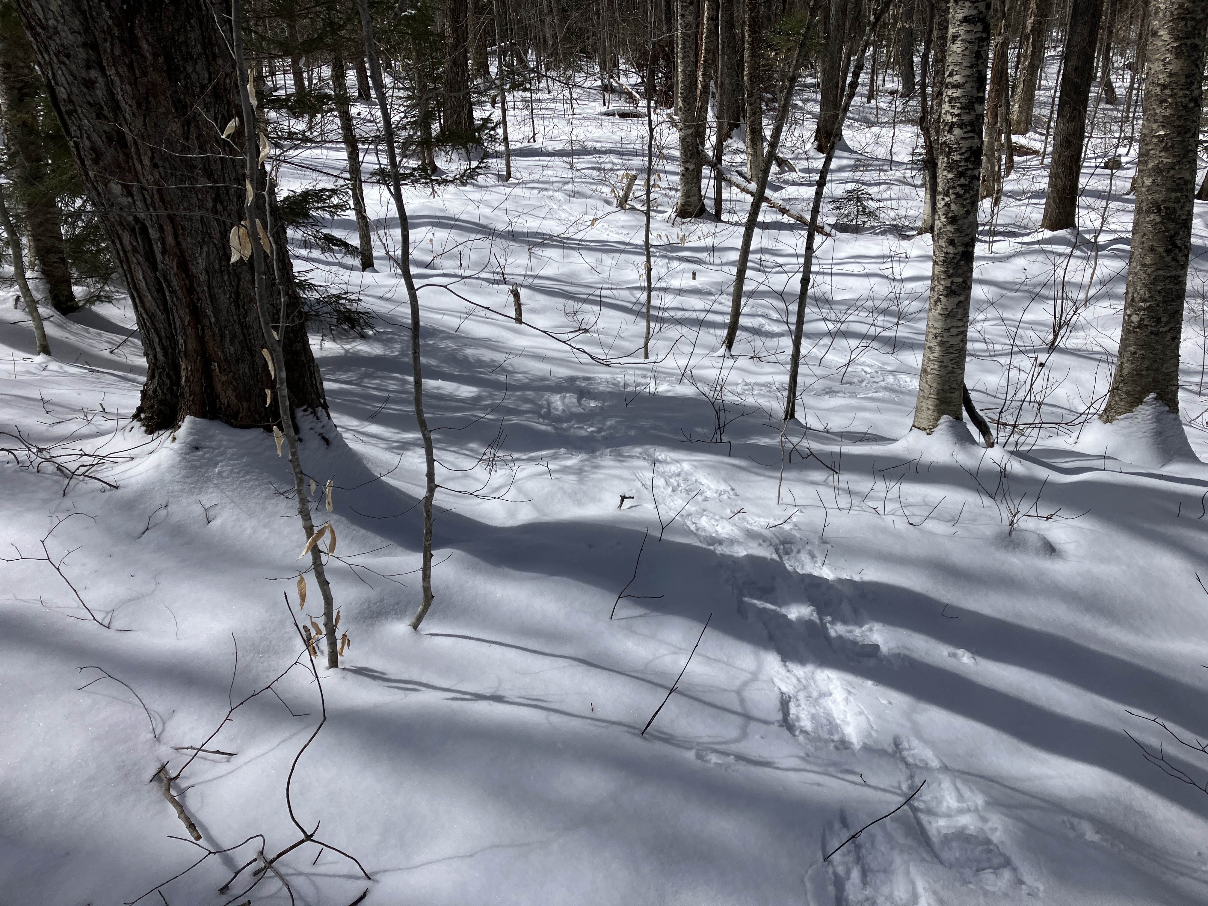
Long shadows on the snow.

An artifact from the logging days.

The golden hour.

Last sun on Tripyramid.


No comments:
Post a Comment