The deep snowpack of late winter makes this a great time to visit the high, wooded crest of the Carter Range. The snowshoer ascending to the Carters is lifted above the scrub for views that are much less open in summer. One of the best spots is the actual summit of Middle Carter, where at this time of year there is a sweeping vista over the Wild River Wilderness.
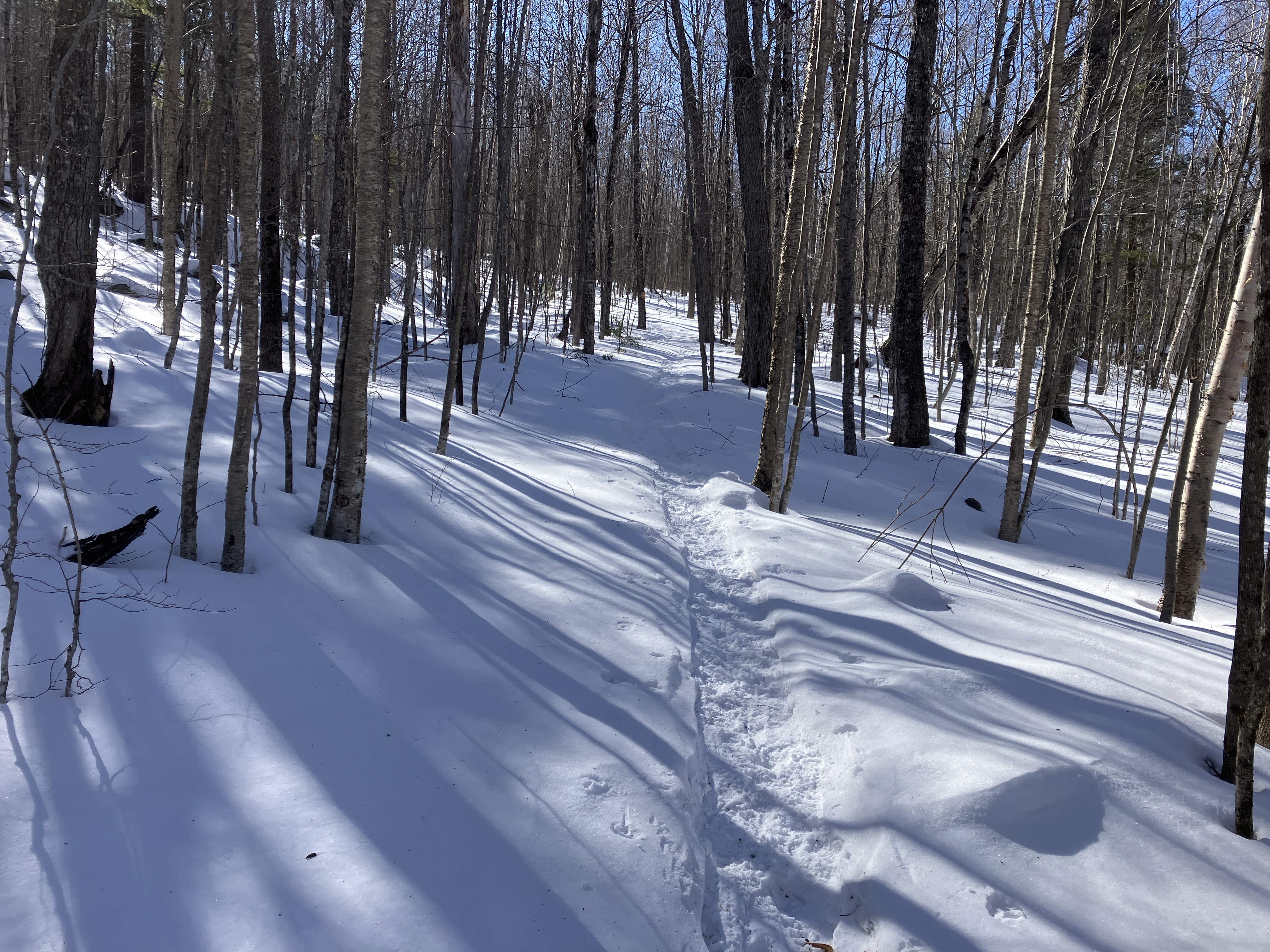
For the approach on this cold but 100% sunny day, I used the south leg of the Imp Trail starting off NH 16. I was pleased to find the trail broken out with a somewhat choppy track. The first mile is a southward traverse at mostly easy grades, through hardwoods and hemlocks.
After passing the unofficial "Camp Dodge Cutoff," the trail swings SE and begins to climb. The track on this section of the trail was quite crusty, thanks to a recent thaw and re-freeze.
Farther up it makes a big bend to the NE where it approaches Cowboy Brook.
A glimpse of the whitened Presidentials through the trees.
The next 1.6 miles is a long, steady climb, soon passing into darker conifer forest. This section is quite rocky in summer. Much more pleasant in snowshoes.
Reaching the junction with North Carter Trail at 3.2 miles.
The lower part of North Carter Trail passes through open woods at fairly easy grades.
The woods became snowier as I ascended.
Duck!
Tunnel effect.
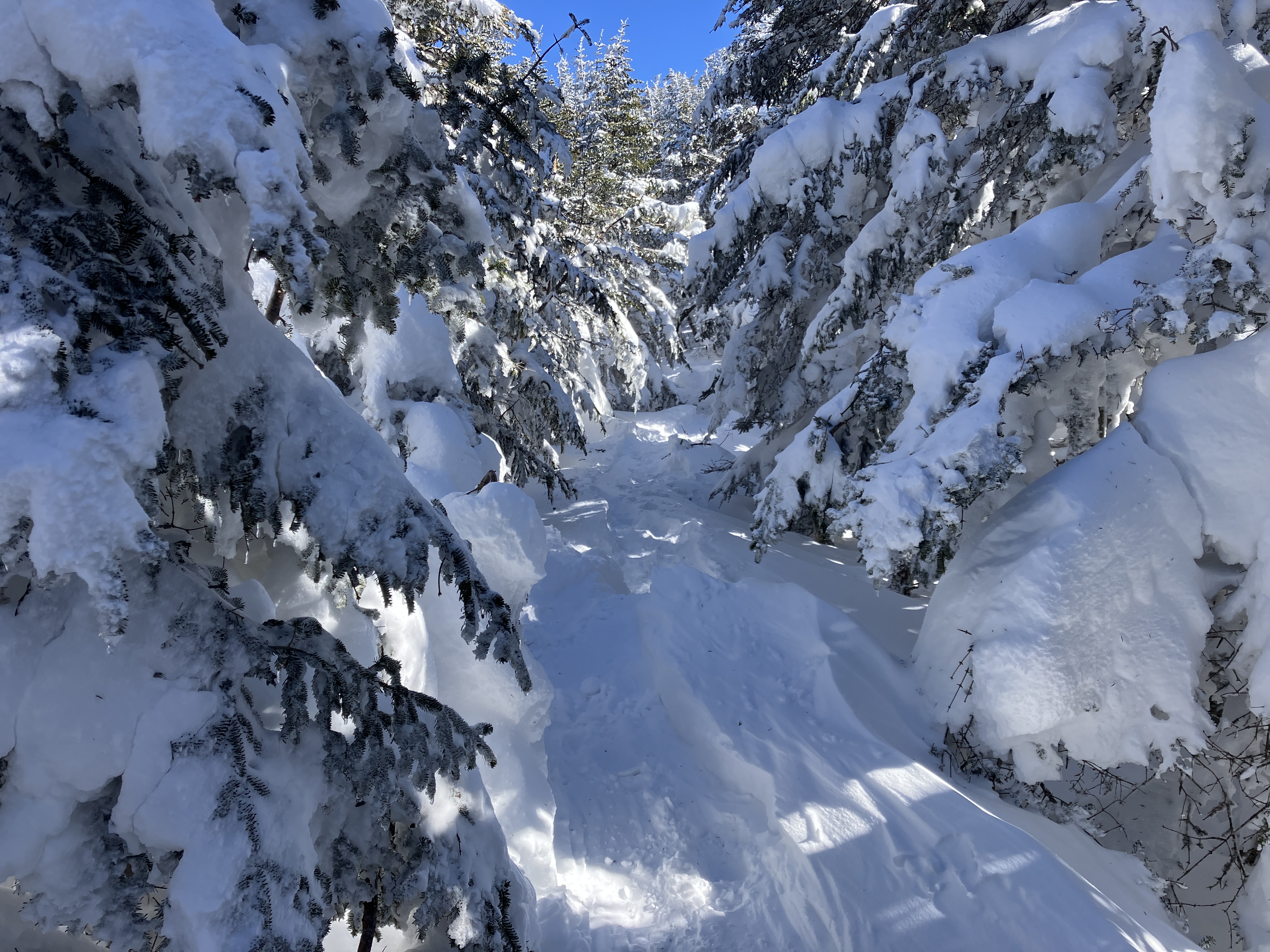
Lotsa snow up here. The track bypasses this to the right. Thanks to those who broke this route out!
The upper half of the North Carter Trail climbs more steadily, here through a beautiful open fir glade.
Drifty.
Onto the ridgecrest.
Winter beauty at 4500 ft.
First views, from the second of five knobs the Carter-Moriah Trail rambles over en route to Middle Carter. North Carter looms close by on the left. Snowy Old Speck is seen in the center, far to the north. To the right, Sunday River Whitecap is seen above Mt. Moriah.
Weaving through snowy sentinels.
After skirting the west side of scrub-grown Mt. Lethe, the trail descends to cross a subalpine black spruce bog.
More views on the next little knob, with Middle Carter's summit on the left.
The wind had exposed some bare rock here.
Ascending the open rocky knob just north of Middle Carter's summit. The cold wind had some bite here.
Great views in several directions from this knob, here looking NW to the Pliny and Pilot Ranges. The whitened talus slope identifies Mt. Cabot, just left of center. The Percy Peaks are seen on the horizon above ledgy Pine Mountain and darkly wooded Black Crescent Mountain.
Looking north to waves of mountains leading off into Maine.
East to Caribou Mountain, the Royces and Speckled Mountain.
South to Carter Dome, South Carter, Wildcats and the Sandwich Range.
Ascending the open north shoulder of Middle Carter.

Ah, the Presidentials.

Boott Spur, Washington and Clay.
The sweeping view over the Wild River Wilderness from the summit of Middle Carter. The snaking ridge in the center descends four miles to the edge of the Wild River.

I was able to spend an hour studying the expansive views. Though the temperature was probably around 5 above (it was -2 on Washington, 1600 ft. higher), the sun was wonderful and the west wind was blocked by trees behind the outlook. Mt. Hight and its great NE ridge loom darkly to the south.

The old Y-shaped slide on that ridge probably dates back to the November 1927 rainstorm. That would be a difficult slide to reach, far up the Cypress Brook valley.
Looking across the spacious, trailless Cypress Brook valley to Eagle Crag, the Baldfaces and Sable Mountain.
Meader Ridge above the central part of the Wild River valley, with vast Maine lowlands beyond.
Looking towards Speckled Mountain.
Caribou Mountain is seen beyond the lower Moriah Brook valley.
At one point I made a foray south along the trail to warm up and find some additional views, such as this look at slide-scarred Carter Dome and Mt. Hight.
An expanded view to the south, including Tecumseh, the Osceolas, Carrigain and Hancock.
Mt. Jefferson, with the sun highlighting the top of Jefferson's Knee.
Leaving the summit after a final look.
Descending the open shoulder of Middle Carter.
A good look at the sprawling ledgy mass of Mt. Moriah.
The steep east face of Middle Carter.
Looking back.
Sun-dappled along the ridge.
Great snowshoeing down the North Carter Trail. Thanks to the snowshoers who smoothed out bare booters' divots.
Late afternoon glow.
Presy sunset, prelude to the faint light of a crescent moon and, in the darker woods, the bright glare of my headlamp.


No comments:
Post a Comment