


A short jog north on Haystack Road led to the left turn onto an old logging road that is the start of the unofficial, unmarked route to PATN.

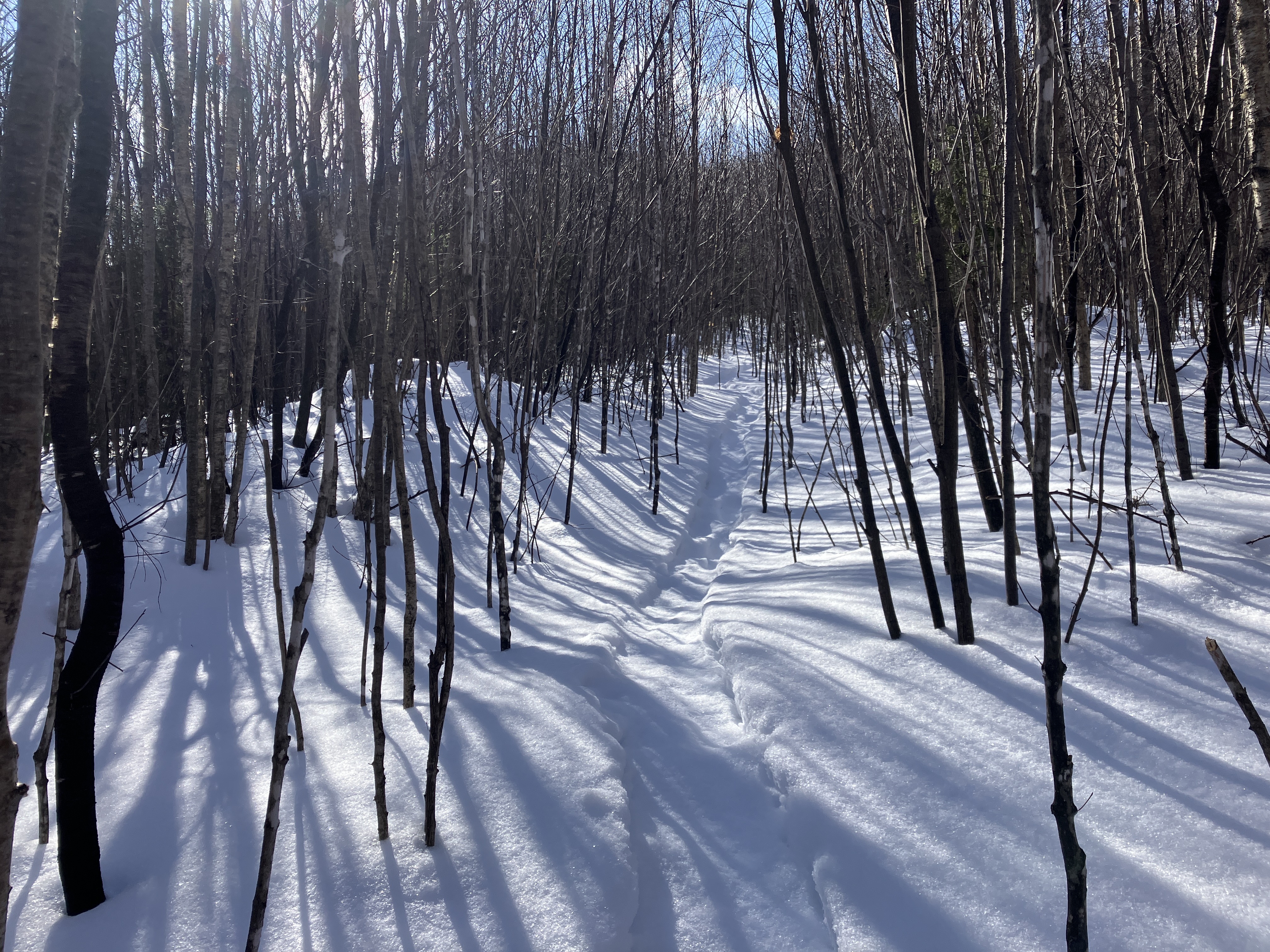
Before long the PATN route diverges to the right off the old road, along the snowshoe tracks seen here. Ski tracks continued ahead, perhaps making the long approach to the North Twin slide.
Above the old clearcut the trail climbs more seriously, at first through a fine open hardwood forest. The trio that broke the trail proved adept at following the unofficial path, with a few minor deviations.Though in summer it is an obvious beaten path, it is much harder to follow in winter. I owe them a hearty thanks for breaking this out.

Making first tracks in the new snow, about three inches higher up.

Much of the ascent is through beautiful open woods of birch and conifer.

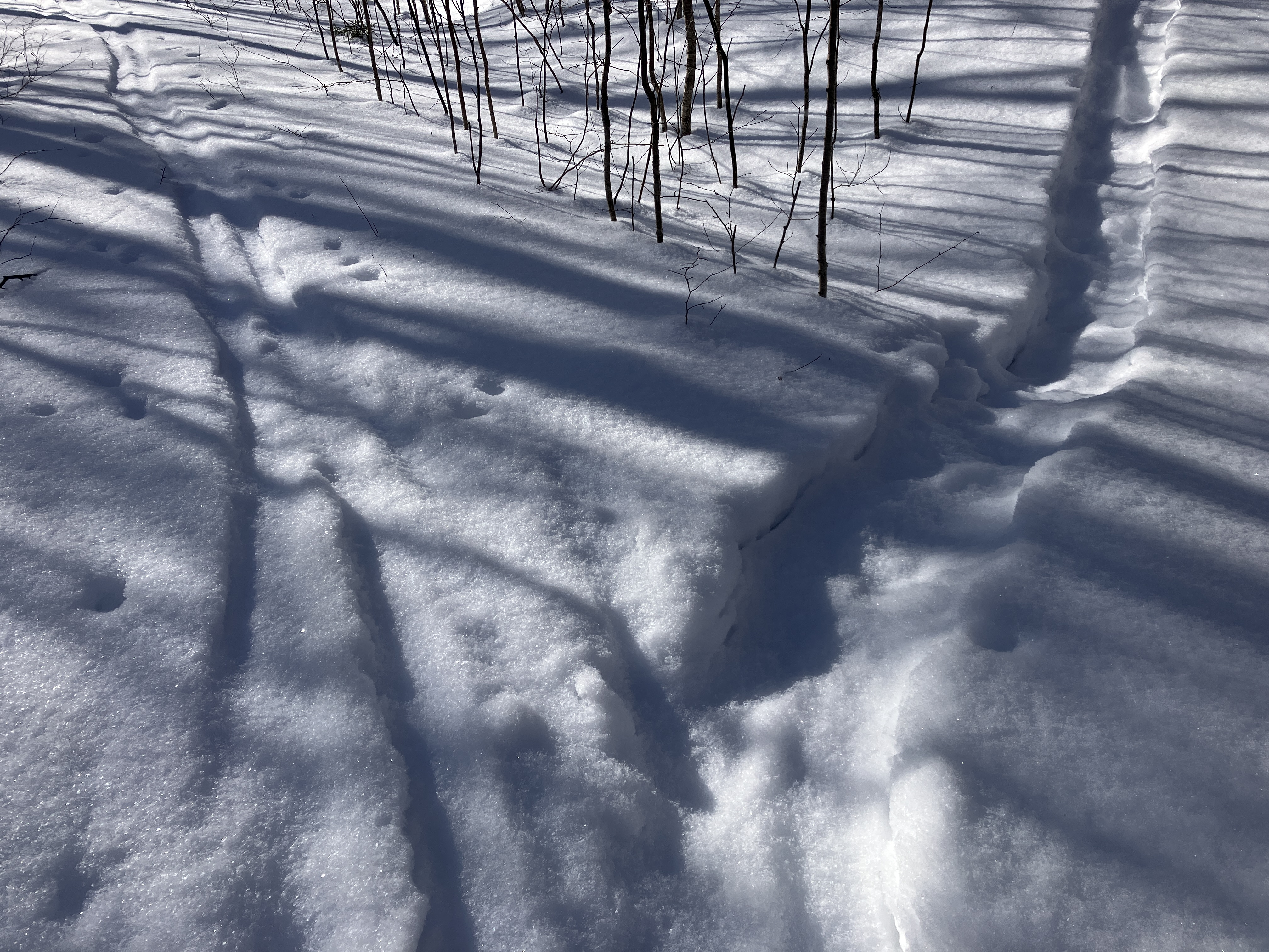
Looking down the slope.

After a long, steady climb, swinging left to the first outlook at ~3100 ft.

The weather and views were better than expected! The partly veiled, sunlit Presidentials are in the distance to the left of Mount Hale. To the right of center is the valley ascended by the Firewarden's Trail.

Mount Washington playing peek-a-boo.

Looking more wintry with new snow on the trees.

Some rugged terrain up here.

One of many stretches on the upper part of the climb blocked by overhanging snow-laden conifer boughs. I did a lot of branch banging, to the point where my arms were getting tired.


I see a sign at the end of the tunnel!

Made it.

After signing the register I repaired to the great outlook on the SE side of the summit. North Twin was still socked in, but the slide was impressive.

Zealand Ridge seen far up the Little River valley.


As predicted, the SW wind was ripping this afternoon. After admiring the views for a while, I went back to the summit and headed into the woods on the north side, not knowing what to expect for the steep 200-ft. descent to the head of the NW slide. If the woods were crammed with small snow-draped conifers, it was a no go. As it turned out, the forest was delightfully open most of the way down, and the snow, while deep, was fairly consolidated in most places.

After a slow, careful descent through the deep heavy snow, with only a couple of spruce traps along the way, I emerged at an open perch at the very head of the slide. This slide was part of the first significant bushwhack I ever did, back in late October 1982. My friend Bill Vecchio and I climbed it, skirting icy spots in the dense woods alongside, as part of our route to what was then called “Peak on North ridge of North Twin, South Twin Quad.” When we eventually made our way to the top, and found a white sign labeled “3813” (the summit elevation), and a Mason jar with a register inside, we felt an exhilaration quite different from any arrival at a trailed summit. We had climbed what is now called Peak Above the Nubble with map and compass and our own navigational skills, limited as they were. It was a terrific feeling.

The views to the NW were expansive.

Looking SW towards Cannon Mountain in the distance. Note the snow being swept off the trees by the wind.

Zoom on the view towards Cannon. The cliffs of Flat Top Mountain are seen in profile under the summit of Cannon.

Looking north towards Vermont's Northeast Kingdom, with the rocky Nubble (aka Haystack Mountain) glimpsed behind the leaning tree.

A zoomed look at the slide.

A small, solitary white pine (branch seen in center of photo) resides at the top of the slide, at 3600+ ft.


That was a pretty good spruce trap.

Following my tracks back up through the beautiful open fir woods.

Looking back down.


North Twin was in the clear!


An awkward spot for snowshoeing.

Down we go!


No comments:
Post a Comment