


A view over the river from the washed out area at 0.7 mile.

A side path (caution needed at the edge of a steep bank) leads to an impressive view of Scar Ridge to the south.

The two snowshoers ahead of me veered off onto the Osseo Trail. From here on I had first tracks in the new snow.

A glimpse of slide-scarred West Bond from the river's edge.

Looking upstream to Bondcliff and its sharp south peak.

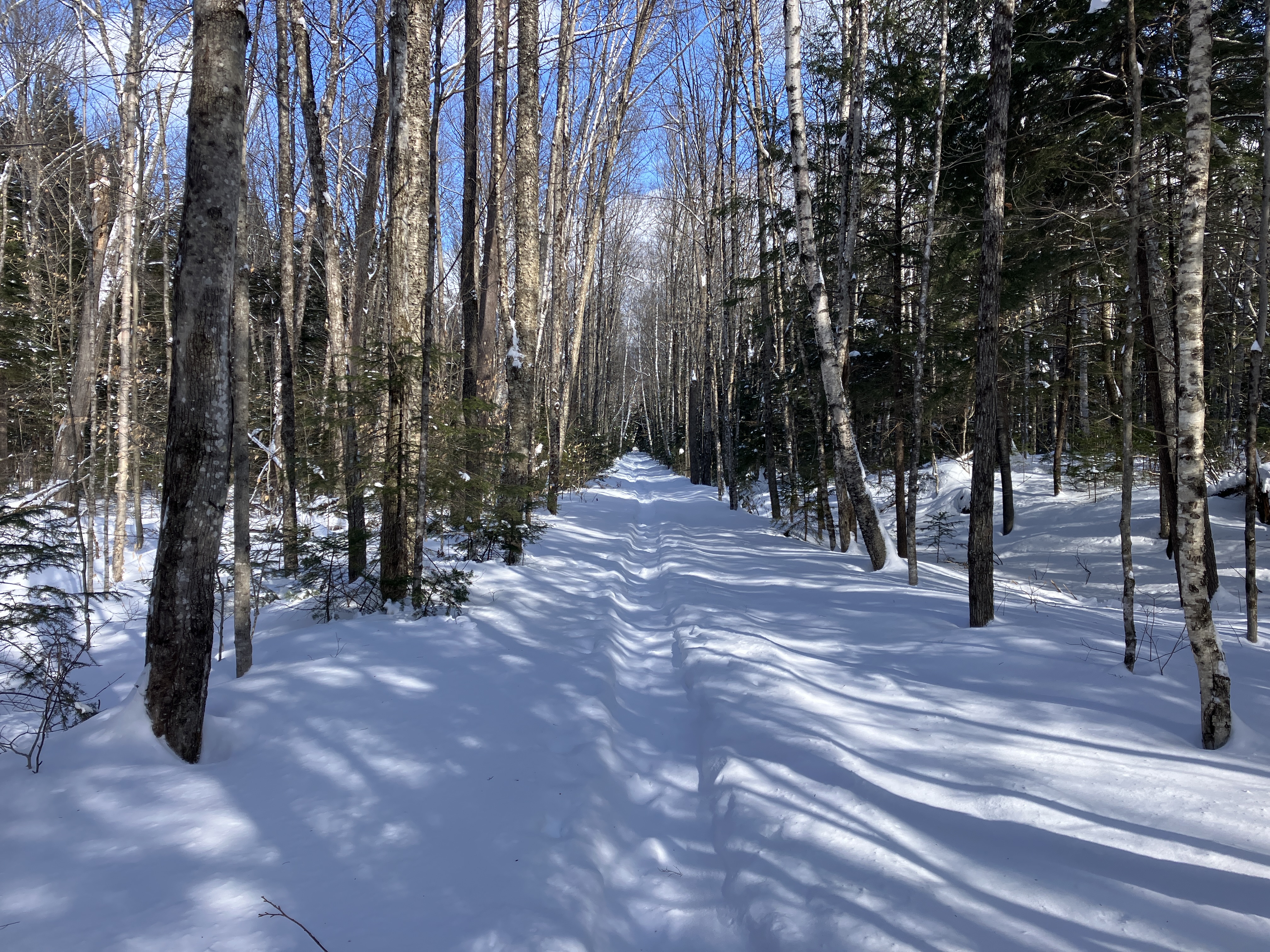
The long straightaway beyond the riverside views.
Old tracks on the bridge over Franconia Brook.

From the bridge, a view of Mt. Flume upstream.

Into the Wilderness. No old tracks beyond the bridge.

A left turn onto Franconia Brook Trail, which is seldom traveled in winter. What would the trail-breaking be like?

As it turned out, there was a faint trough on the trail that indicated it had been broken out sometime in January.

There was a foot of powder in the trough.

Breaking trail was slow going, but easier than plowing through the 18+" of snow on either side.

Looks like a railroad grade.

Looking back.

The second of three crossings of Camp 9 Brook. I thought the little trough running along the brook might have been made by an otter [?].

There are some large white pines in this part of the valley.

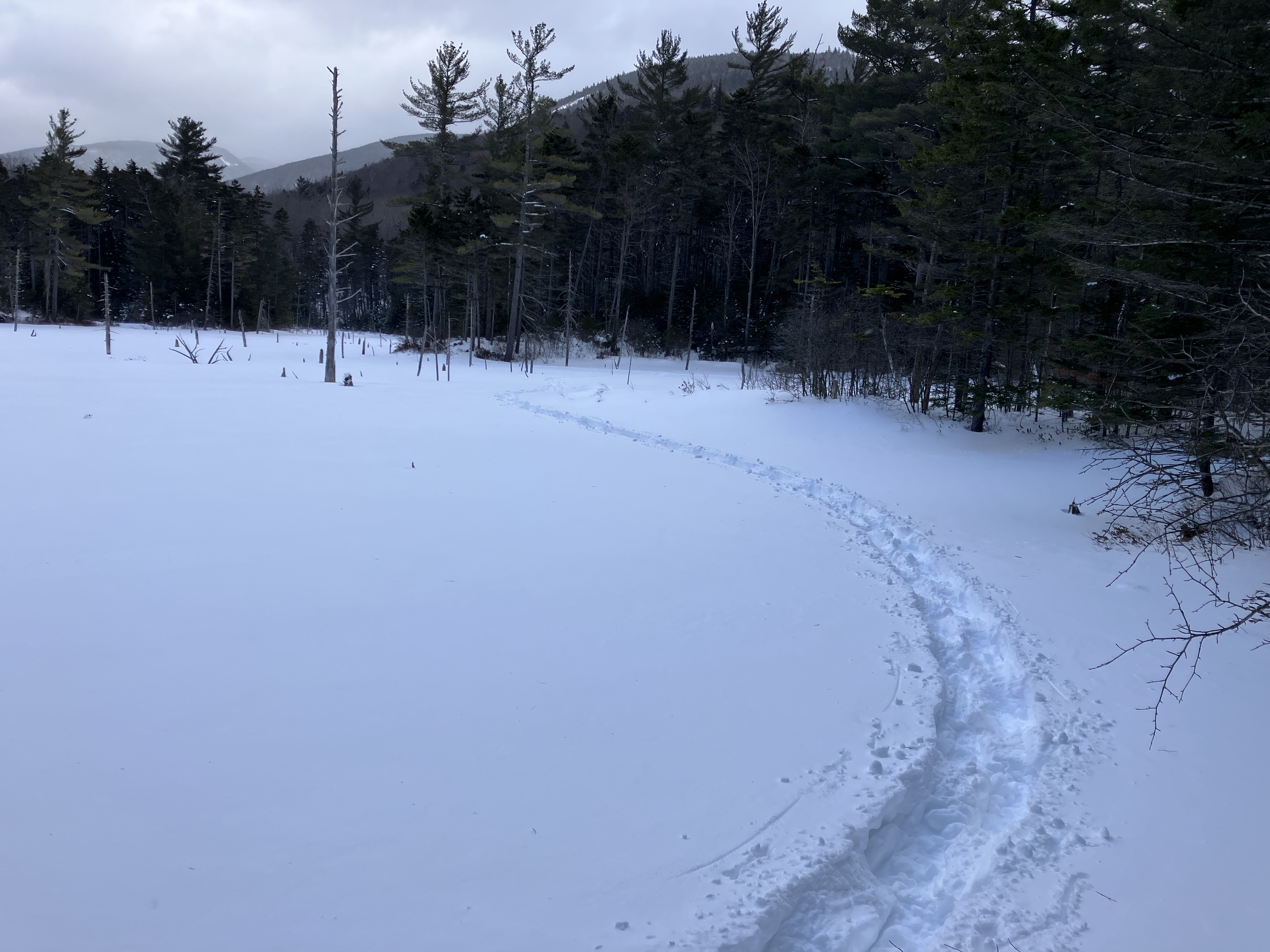
It took more than an hour to travel 1.1 mile from the Franconia Brook bridge to my first objective: an extensive beaver wetland on the west side of a trail relocation that leaves the railroad grade for 0.2 mile. The impressive view of the south end of Owl's Head Mountain is more accessible when the wetland is frozen.

I wandered around the wetland, plowing through knee and thigh-deep soft snow.

Camp 9 Brook meanders through the area. This vicinity was the location of Camp 9, occupied by the loggers of J.E. Henry's East Branch & Lincoln Railroad in the early 1900s. Part of the camp location was later inundated by beavers.

From another spot I found a good view of Mt. Flume, with Mt. Liberty peeking out on the right.

After a sketchy third crossing of Camp 9 Brook, I followed the trail as it rejoined the railroad grade and headed north to the Lincoln Brook Trail junction.

The junction, 4.6 miles from the parking lot.

I continued north for 100 yards on Franconia Brook Trail to a large trailside beaver pond, seen as the bright opening ahead.

It's a wonderfully desolate spot in winter.

The trailless peak of Southwest Twin was briefly illuminated by the sun.

The pond was solidly frozen, allowing a leisurely traverse of its snowy expanse.

From a previous winter visit, I knew there would be an excellent view of Owl's Head from the south side of the pond.

Zoom on the sharp south peak and the cliffs on the SE spur.

I continued across to the east end of the pond for a view of Flume and Liberty.

It was easier going back, slightly downhill with one set of tracks, but still a slog for the first 1.8 miles.

The sketchy northernmost crossing of Camp 9 Brook.

A fuzzy view of Bondcliff and its south spur from another beaver wetland. Upon returning to the Lincoln Woods Trail, I noted no new tracks on either the Bondcliff Trail or Black Pond Trail, so I had the western Pemi Wilderness to myself on this midwinter day. I shuffled the last 1.5 miles by the intermittent light of a 5/8 moon overhead.


No comments:
Post a Comment