
It had been a while since I had been over to the Montalban Ridge area, and the bowl-like basin on the east side of Mount Resolution caught my eye. A 1939 aerial photo reveals several old slides scarring the slopes, and though these are mostly revegetated today (as seen in the Google Earth image), one large ledge slab remains open. The recent two-foot contour Lidar map shows a gorge partway up this valley with a potentially tall waterfall. A new area to explore! I also wanted to check out the situation at the crossing of Rocky Branch on the Rocky Branch Trail, where the bridge was recently removed.

The 2017 Halloween storm caused extensive damage on the upper portion of Jericho Road, which leads to the southern trailhead for Rocky Branch Trail. Though the road has been mostly repaired, it has been closed indefinitely by the Forest Service, as additional damage is likely in the future. There is now a 1.8 mile road walk to reach the southern trailhead.

An exciting walk it's not.

There are a couple of spots where you can (carefully) approach the riverbank and view the damage below.

The bridge over the Rocky Branch is, indeed, gone.

A rather sketchy descent over large boulders on the right edge of the embankment is required to access the river crossing.

Looking back at the boulders.

I found a good rock-hop route a few yards to the right (upstream). Water levels were very low on this day; this would be challenging in moderate flow and very dangerous in high water.

Beyond the crossing, the Rocky Branch Trail provides easy railroad grade walking, interrupted only by a couple of relocations to the left. The crews of the Conway Lumber Company's Rocky Branch Railroad cut this valley over more than a century ago.

Rocky Branch Shelter #1 is located between the trail and the river, 3.8 miles from parking. The only hiker I met was taking a break here.

I took a break on rocks in the river, with a view upstream to a spur of East Stairs.

I left the trail near the shelter and crossed Lower Stairs Brook to begin the 1.5 mile bushwhack up the valley to the big ledge.

I stayed above the tributary stream that drains the valley.

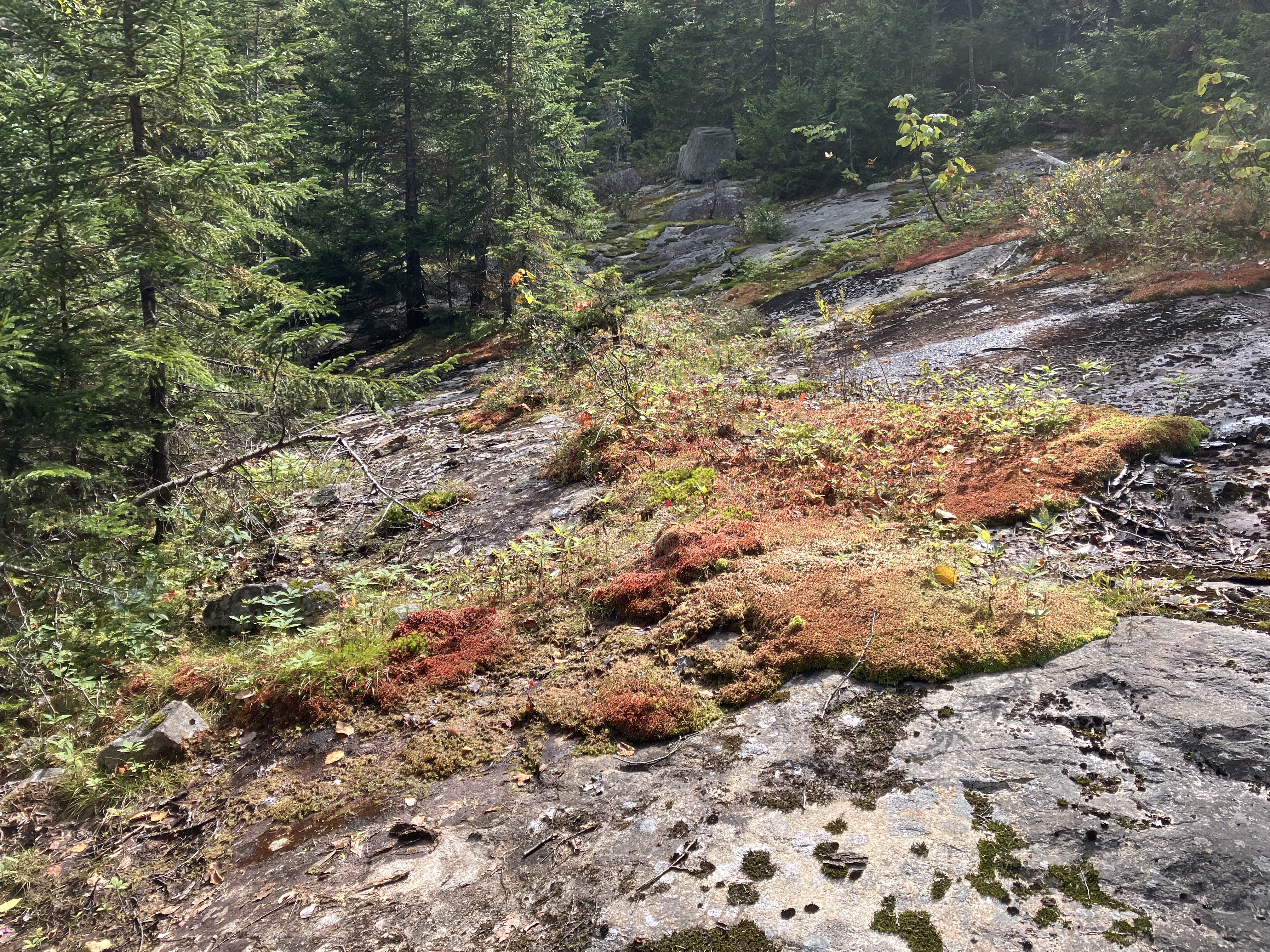
Much of the route led through a fairly open hardwood forest.

In places the woods were a little messier.

Spruce grove approaching the gorge.


Getting to the base of the waterfall proved to be tricky, so I backed off. But I did manage to work a route out to the top and have a look down. Only a trickle of a flow this day, but after a heavy rain it could be impressive.

A tiered cascade above the big waterfall.

A ledgy bulge farther up the stream, which was looking more and more like an old slide track.

Paralleling the stream/slide track through more hardwoods.

Sure looks like a slide track here.
Crossing another track en route to the big ledge.

There it is!

I was concerned that this might be a wet slab and difficult to access, but it was bone dry with grippy granite. Seen in back is a spur ridge descending from the South Peak of Resolution, enclosing this wild basin on the south side.

Red maples light up the mountains in early September.

The ledge opens a fine view to the NE.

Down-look.

I climbed to the top of the ledge and settled in to enjoy the vista.

A nice look at Maple Mountain across the Rocky Branch valley. The ledges on its shoulders offer good views of Giant Stairs and Mount Resolution.

The Wildcats, Carter Dome and Rainbow Ridge beyond the lower end of Rocky Branch Ridge.


Looking up to the main mass of Mount Resolution, with a spur ridge enclosing the basin on the north side.

This ledge was a good find!

Parting shot.

I traversed across the slope to check out the track of another old slide. I didn't have time to climb several hundred feet above to more open ledges that would provide a view to the SE. Time to head back down the valley.

There always seems to be more obstacles when you are descending off trail. I was happy to make it back to the car before dark.


No comments:
Post a Comment