Twenty-five years ago, my good friend Mike Dickerman and I hiked to a large open crag in the Giant Mountain Wilderness known as Owl Head Lookout. The view up the remote valley of Roaring Brook to the massive ledgy slides on the east side of Giant Mountain captivated me. I immediately thought, I want to go there someday. Since then I have seen these slides from a distance a number of times - from the Lake Champlain ferry, and from the summit of Mount Moosilauke in the Whites on the clearest of days, especially in winter, when the whitened scars stripe the face of Giant's great rounded peak ninety miles away.
Over the few days I had to plan for this trip, I researched these slides, and the route in to them, using my usual sources of CalTopo and Google Earth, plus tidbits in three generations of Adirondack rock climbing guides and a couple of reports on the Mountain Project website. Though I had a chance to bag a peak for #29 on the Adirondack 46 list, the bushwhack to the slides was calling.
The approach to the bushwhack followed the North Trail to Giant Mountain for 4.3 miles from Route 9N between Keene and Elizabethtown. (This is a long route to Giant, reaching the 4627-ft. summit at 7.4 miles.) The first mile of the trail proceeds at easy grades through open mixed woods.
A nice footbridge over Slide Brook at 1.1 mile.
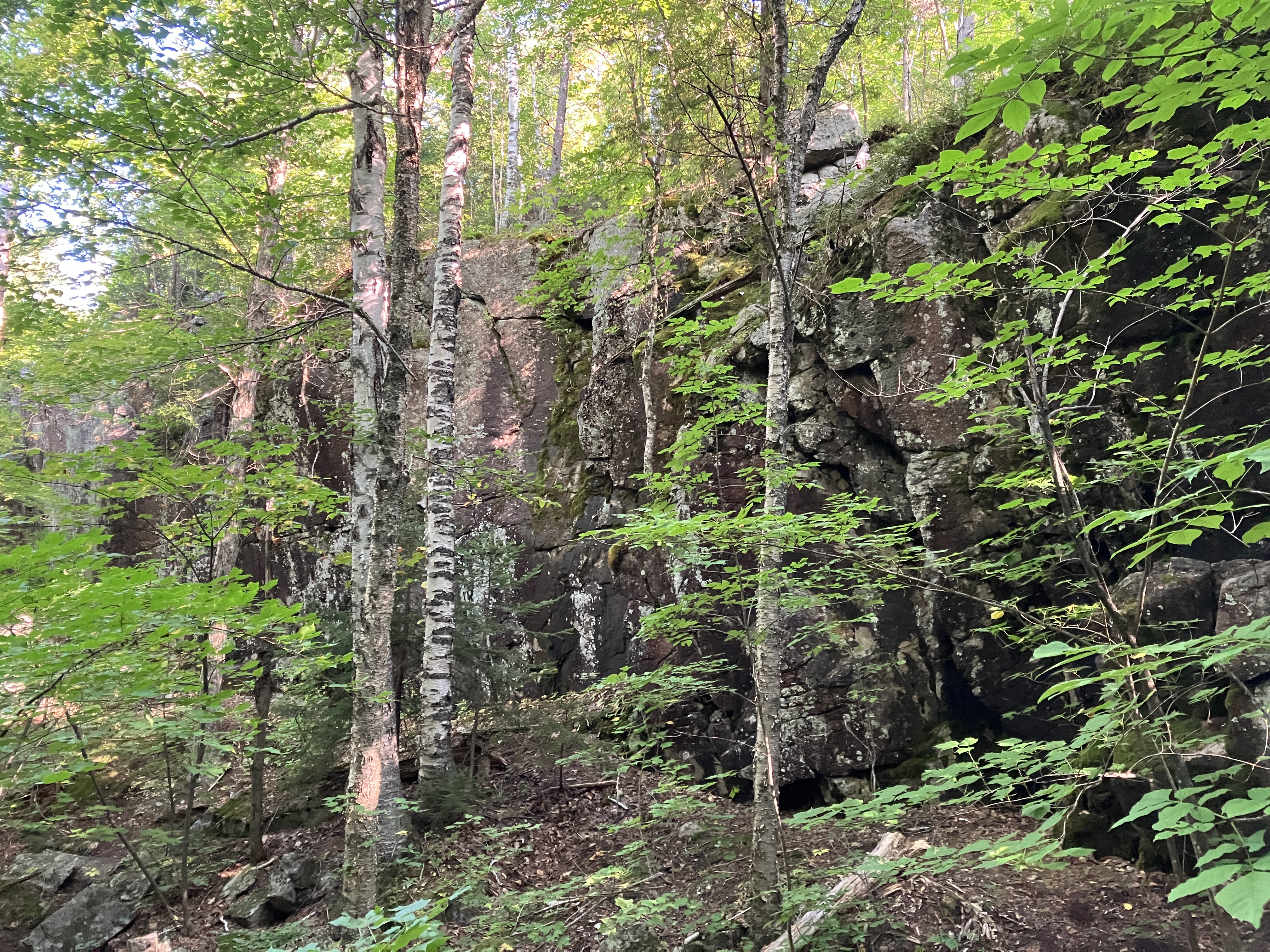
Rock wall in the forest.
After the first mile, this hike was almost exclusively through hardwood and birch forest.
After a moderate climb, the spur path to Owl Head Lookout appears at 2.5 miles.
It's a short, steep scramble.
Open sky above.
Emerging on the ledges. Knob Lock Mountain on the left, Hurricane Mountain on the right. Sentinel Range and the tip of Mount Whiteface in the distance.
Green Mountain (an ADK Hundred Highest peak) and Knob Lock.
Knob Lock's summit is open rock, but the whack to get there is reportedly challenging.
The classic view from Owl Head Lookout that grabbed me back in 1999: Rocky Peak Ridge and Giant Mountain. Still a long way in to the slides.
Zoom on the massive East Slides of Giant, also known as the Batwing Slide.
The East Trail to Giant runs for miles over Bald Peak (left) and Rocky Peak Ridge (right), with many ups and downs and numerous open ledges.
Long view out the lower Roaring Brook valley to the distant Green Mountains.
Back on the main trail, I had this glimpse back to the Owl Head crag from a mountain meadow. From here the trail descended steeply in the first of a series of PUDs heading to High Bank.
Along the traverse to High Bank, the trail passes through some gorgeous maple glades. The slopes around Owl Head Lookout, Rocky Peak Ridge and Giant Mountain were seared by forest fires in the early 1900s and the forest has grown back mainly to birch and northern hardwood.
High Bank, reached at 4.1 miles, is an unusual glacial deposit of gravel that remains largely open. It resembles The Bluff in the Great Gulf Wilderness in the Whites. From here there is a view up to a ledgy northern arm of Rocky Peak Ridge.
The East Slides of Giant loom impressively, still a mile and a half away. The "batwing" shape is evident from this angle. From the rock climbing guides and online reports I knew that the middle/upper parts of the slides involve 4th and 5th class climbing, way beyond my skill level. My objective was to get up onto the lower slabs and have a look around.
I continued another quarter-mile along the trail, then headed into the woods, dropping down to cross Roaring Brook.
To reach the slides one must bushwhack a mile and a half up the valley of a tributary brook. It's a generally pleasant whack through hardwood and birch, though there are plenty of downed trees and limbs to trip you up, especially on the descent.
Passing through a nice ferny glade.
In places there was an intermittent game trail.
A shrubby look higher in the valley. Quite the remote feeling out here, 5 1/2 miles from the road.
Swinging up towards the slide through a high elevation birch forest.
Arriving at the main drainage track from the slides.
There they are!
Heading up the runout. I made a detour through the woods around the second ledge step.
Zoomed - yikes!
Looking back for a glimpse of Lake Champlain and Mount Mansfield.
At the top of the runout I came to the base of the slides proper. The smooth slab ahead looked to have a pitch (about 34 degrees) that I could probably get up with my worn hiking boots, but descending might be dicey. Plus a potentially tricky ledge step awaited at the top. Here a good pair of approach shoes would have made the difference. I didn't bring my old pair because the rubber had become hardened and less grippy.
Zoom on the upper amphitheater, where there are technical climbs rated 5.5, 5.7 and 5.8
To reach the lower angled slabs, I undertook a steep whack along the edge of the slide with sketchy footing. I caught views down to the pitch I was bypassing.
I emerged above the ledge step, with Rocky Peak Ridge looming above.
This looked like a good spot to head out onto the slab, with a pitch in the more comfortable high 20s on dry, very grippy anorthosite bedrock.
Certainly one of the most amazing places in the Adirondacks. From north to south these slides are a half-mile across.
Looking up.
And down. A good sense of exposure out here.
Looking across to the northern arm of Rocky Peak Ridge.
I climbed to a spot at ~3400 ft. where I found a comfortable seat.
View from the seat.
Wow.
Lake Champlain and Mount Mansfield in the distance. On the left and closer is the ledgy knob of Owl Head Lookout, where I had gazed up at these slides earlier in the day.
I was tempted to climb higher, but it was mid-afternoon and I needed to find a manageable route down off the slide.
Heading back down and across to the edge.
Great sun on Rocky Peak Ridge. The cuts of two small rubbly slides can be seen on the right.
I cut across the base of a more northerly part of the slides.
A ferny patch at the slide edge.
After passing through this beautiful glade, I followed a steep route through the woods down to the base of the slide runout.
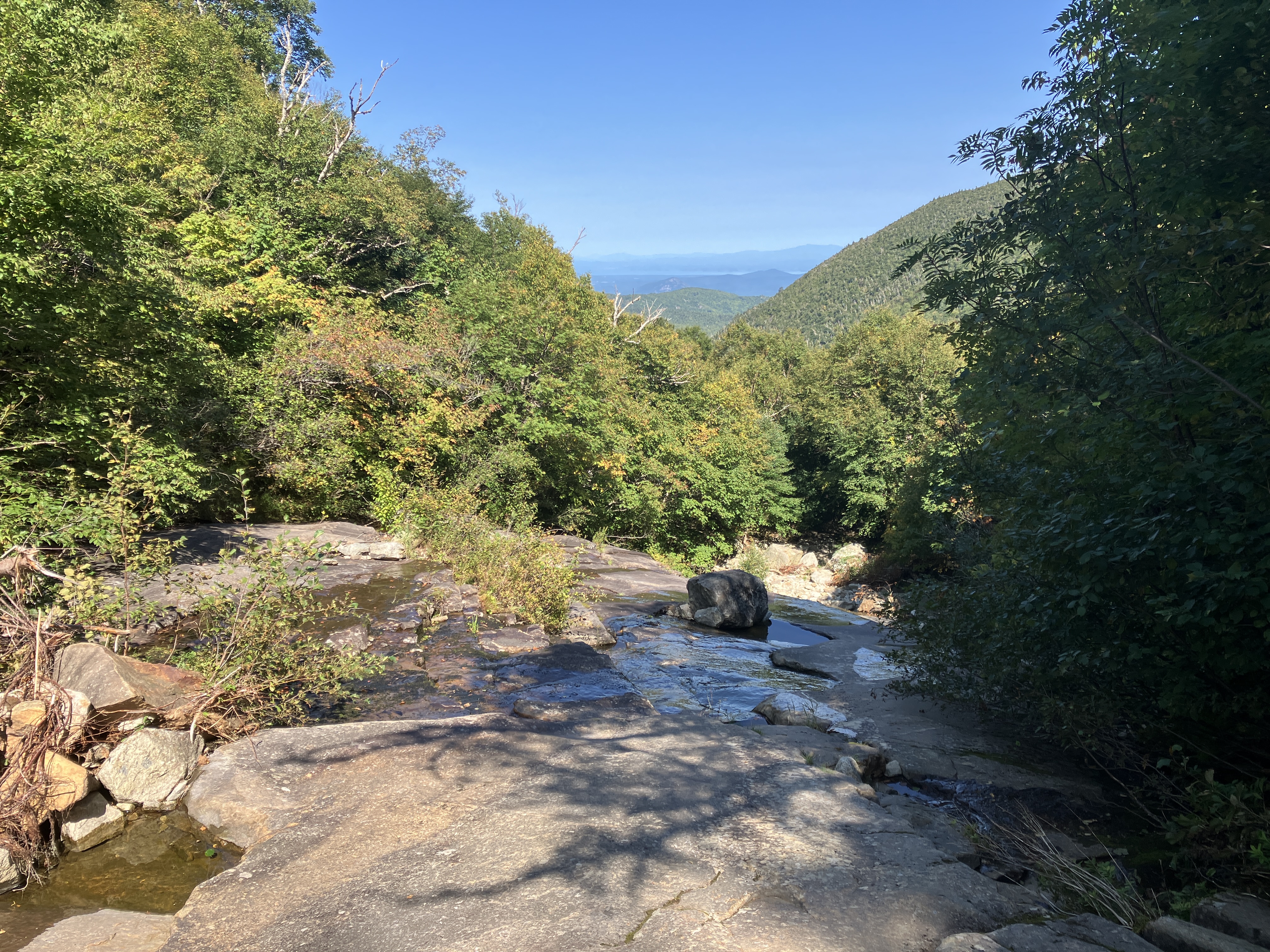
Back down in the valley, I crossed the runout of another of the East Slides.
View of the tributary brook that drains the valley of the slides.
Evening stop at High Bank. 4.1 miles to go, the last mile and a half by headlamp. A memorable day!


Yow. That was a fair day's hiking. Thanks for sharing it. Do you use GPS navigation in all those woods?
ReplyDeleteHi John, I do use GPS in addition to map and compass, and have also made use of the Gaia GPS mapping app on my phone.
ReplyDeleteDo you know where I can get a map/gpx of tulip slide? I do not want to do it in winter conditions but would like to once things thaw out. Thanks
ReplyDeleteIf you can find a copy of Barbara McMartin's "Discover the Northeastern Adirondacks," there is a pretty detailed description of the Giant western slides, though it may be a little dated. There is a wealth of ADK slides info and photos on Kevin MacKenzie's site, adirondackmountaineering.com. Also, search on the Adirondack Slide Climbing Facebook group and the Slide Climbing section (registration required) of the ADK High Peaks Forum..
ReplyDelete