
On another glorious partly sunny day I found spring again, this time on the southern tier of the Whites, with a climb of Rattlesnake Mountain (1594 ft.) in Rumney, It's a good spring day when you can spend a couple of hours lounging in the sun on bare ledges.
I was pleased to find that no snowbanks blocked the Buffalo Pit climber's parking area on Buffalo Road, 0.3 mile SE of the Rattlesnake Mountain Trail trailhead. The trailhead itself has very limited parking, and the road was closed just beyond the Buffalo Pit parking. An easy bushwhack parallel to the road brought me to the lower part of the Rattlesnake Mountain Trail. I was happy to find long sections of the steeper middle section of the trail to be free of snow and dry. This part is a pretty relentless climb.

The adjacent hardwood slopes were bare in areas with sun exposure, and snowier on the less exposed aspects.

I was loving this, though there were muddy stretches farther up, approaching the height-of-land. They could be navigated by hopping rocks and roots, or using the snow on either side.
The snow was more consistent where the trail levels off.

The loop junction. I usually go counterclockwise.

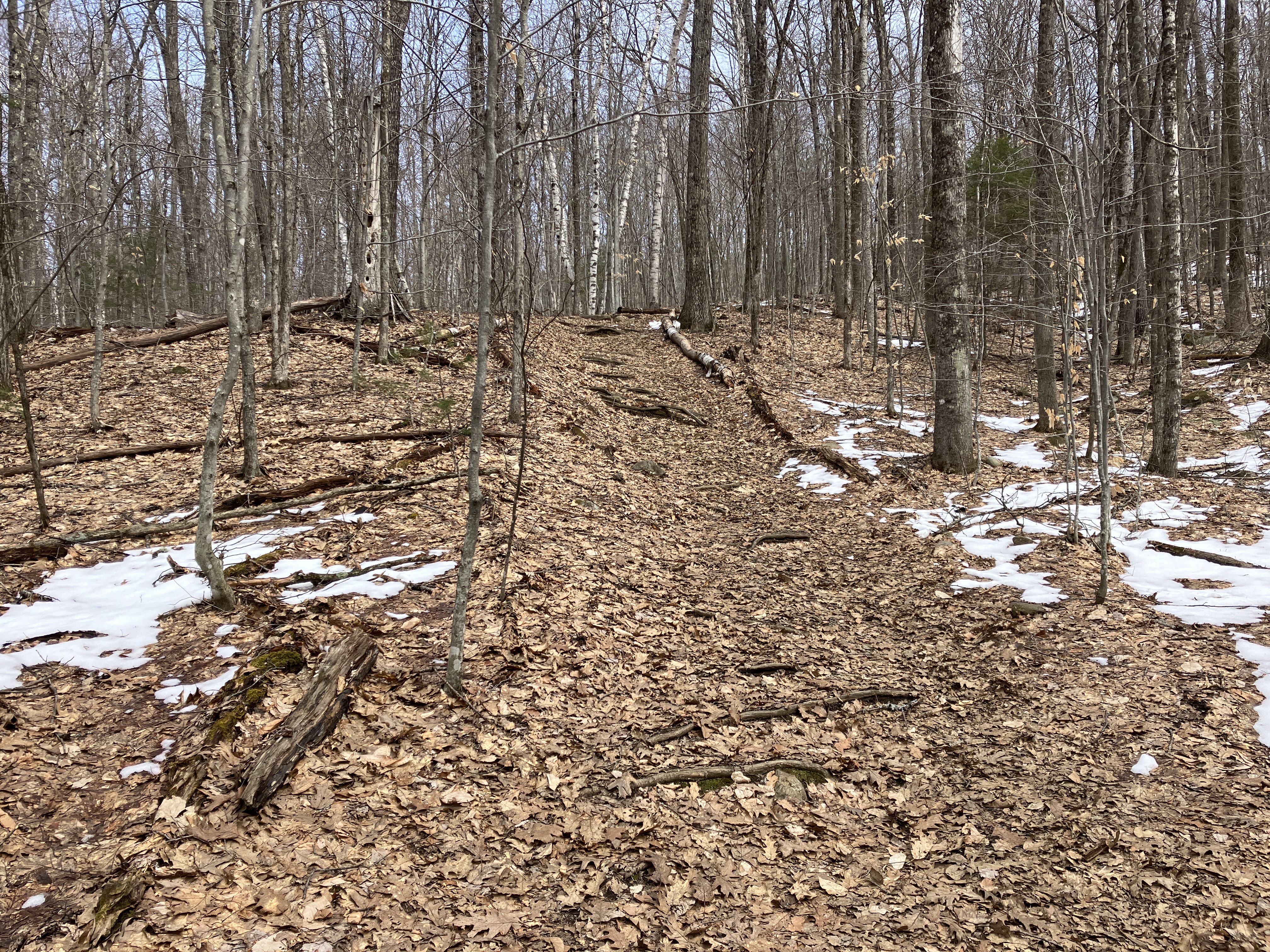
Varied terrain approaching the summit area.

I first followed a side path to a pine-fringed ledgy area with views to the west.

A nice view up the Baker River valley to Smarts Mountain, Black Hill and Mount Cube.

From there the trail hops up onto a long line of grippy metamorphic ledges on the summit crest. The first spot looks out over the valley to Mount Cardigan in the distance.

Great stretch of trail.

The SE view is dominated by the wind turbines on Fletcher and Tenney Mountains.

The summit ledges.

Long view down the Baker River valley to the Squam Range and Belknap Range.

Stinson Mountain is close by to the NE.

Scar Ridge, Middle Scar and North Hancock can be seen in the distance.

Looking back along the summit spine.

My favorite view from Rattlesnake peers north along various trailless spurs of Carr Mountain to the dark summit ridge way in the back. When gazing at this vista I always think back to the six-mile bushwhack JR Stockwell and I did from here along the bumpy ridgecrest to the summit of Carr. Just last month I repeated a long loop bushwhack to Bald Ledge (the broad hardwood dome on the far left) and the south slope of Upper Rattlesnake Mountain (in the center, in front of Carr).

Zoom on Upper Rattlesnake (left), Carr (center) and Willoughby Mountain (the flat sunlit crest on the right).

I spent well over an hour relaxing in the sun here.

Looking back up while descending off the summit ledges.

Steep drop into the woods.

Another viewpoint.

And yet another, with a nice look at Stinson.

Before heading down, I explored an unofficial mountain bike trail that heads north from the loop junction for 0.4 mile along the ridge. It crosses over some interesting ledgy terrain.

The bikers must love this steep ledge ramp.

The trail crosses this open ledgy knob that was burned by an arsonist's fire in 1992. Scrub oak has reclaimed the area.

A silhouette view of Smarts Mountain to the west.

The trail ends at another knob with a glimpse of the upper Carr ridges to the north.

Heading back down Rattlesnake Mountain Trail, this is the location of a geocache named "Birch Quartet," one of four caches I found along the trail.

Trail sign at the bottom, where several trees had been cut during the day. Not sure if this was related to an expansion of the tiny parking area, or had some other purpose. The round-trip hike up Rattlesnake, including the summit loop, is 2.5 miles with 1000 ft. of elevation gain. It's a good one.


No comments:
Post a Comment