
With the snow from the big March 23 snowstorm mostly melted, but with a new late-season snowfall coming our way, Carol and I headed south on a gorgeous Easter Sunday afternoon for snow-free hiking and geocaching on the pleasant trails around Lake Massabesic in Auburn. One of the primary goals for the day was for Carol to find a geocache that would complete her "New England Challenge": finding the oldest geocache in each of the six New England states. She had found all six of those and just needed a bonus cache here to complete the challenge.
After parking at one of the gated trailheads on the east side of the lake, we headed in on a series of woods roads and trails. This ledgy trail leads along a little ridgecrest above the lake.

Our first destination was Barringer's Cliffs, a great perch overlooking the lake. Here I found a geocache that had been missing during our search a year ago. (Carol had already returned to find it.)

The distant view from the clifftop includes (left to right) Temple Mountain, South Pack Monadnock, North Pack Monadnock, Joe English Hill and the tip of South Uncanoonuc.

My longer reach was needed to get the New England Challenge cache, which is located in a somewhat precarious spot. I could not log this cache because I have found only one of the six oldest New England state geocaches.

We then followed a varied and interesting trail on a winding course along the east shore.

We passed several scenic ledges at the water's edge. This 2,560-acre lake is the public water supply for the city of Manchester, so swimming and wading are prohibited.

A neat cliff hidden in the woods.

Nice spring walking.

Our next objective was Currier Point, where we hoped to find two geocaches.

A narrow path led us out onto the point.

We found the first geocache but, alas, the path was flooded a short distance before the end of the point, where the second cache is located.

Mellow walking on one of the many fire roads that traverse the land owned by the Manchester Water Works.

For our second hike we drove over to New Hampshire Audubon's Massabesic Center, located at the south end of Battery Point, a broad peninsula that divides the east and west sections of Lake Massabesic. The Yellow Trail makes a very pleasant 3.7 mile loop out to the tip of Battery Point. The trail starts out by crossing several open fields with numerous bluebird houses. We did get a good look at one of the handsome bluebirds.

Gentle walking on the Yellow Trail.

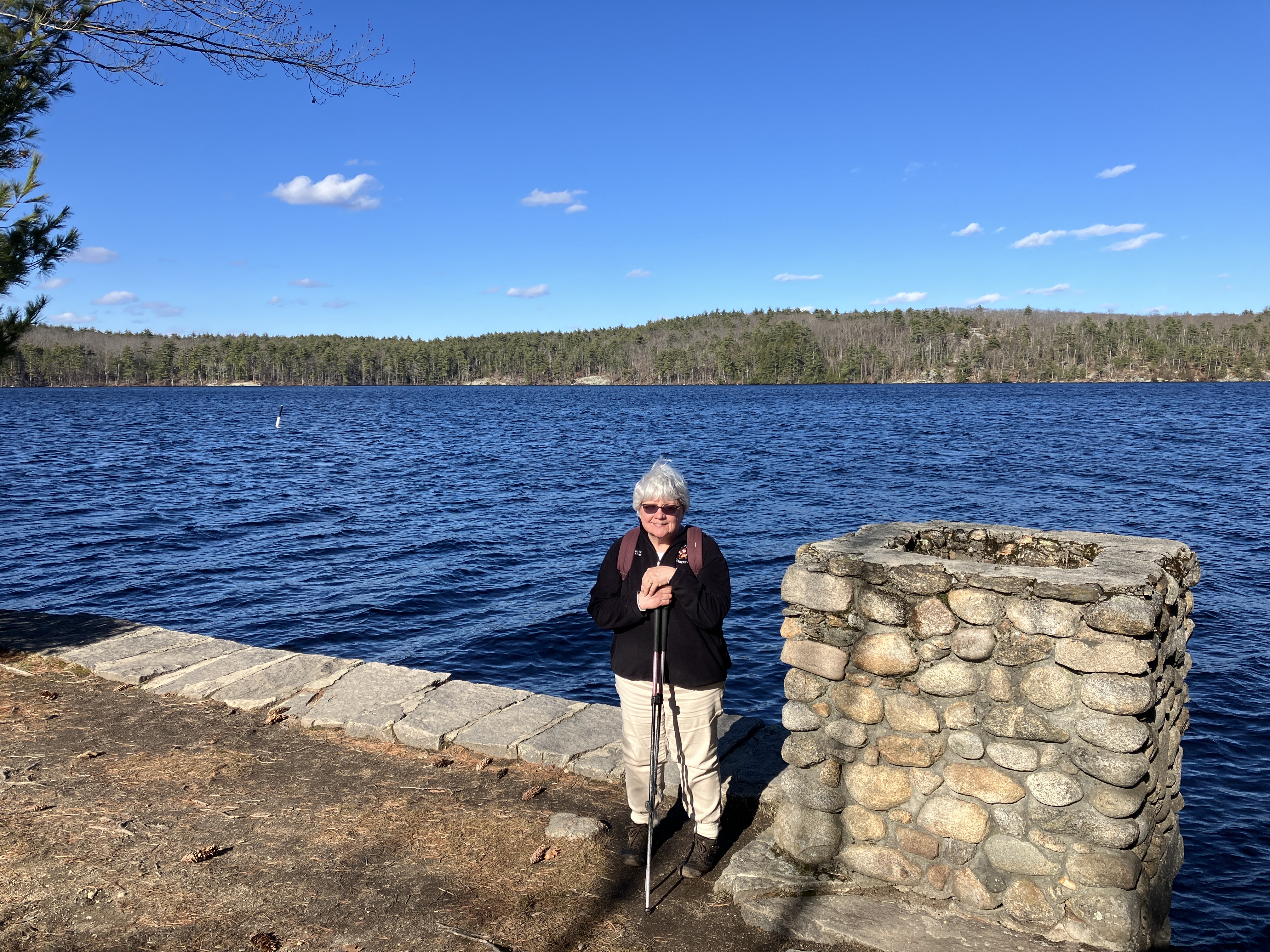
The tip of Battery Point is a magnificent spot. A cottage and boathouse were located here in the late 1800s. The Manchester Water Works purchased the land out here in 1900 and 1925.

From here, the lake views are expansive.
A zoom on Barringer's Cliffs, where we had lunch earlier in the day.

The east loop of the Yellow Trail passes a scenic ledgy spot at the water's edge.

Heading back through a fine hemlock stand, wrapping up a beautiful spring afternoon spent wandering around Massabesic.


No comments:
Post a Comment