
On yet another cloudy I journeyed into Mad River Notch for one of my favorite snowshoe trips, visiting the two Greeley Ponds and climbing partway up the Southeast Slide of East Osceola, which dates back to 1897. Mad River Notch is a wonderful place in winter.
I approached via the Greeley Ponds X-C Ski Trail, which has a plowed pulloff parking area and has seen much more use from snowshoers since plowing ceased at the Greeley Ponds hiking trailhead a few years ago. The trail had a fine firm snowshoe track with a bit of new snow on top.

The snowpack beside the trail was close to two feet deep.

It was disappointing to see that some people had barebooted on this trail, ignoring the prominent sign at the trailhead indicating that this is for skis and snowshoes only, and not for bare boots.

This split boulder is a notable landmark along the trail.

A small, steep slide that fell during Tropical Storm Irene in 2011 can be seen through the trees.

Some nice hardwood forest on this route.

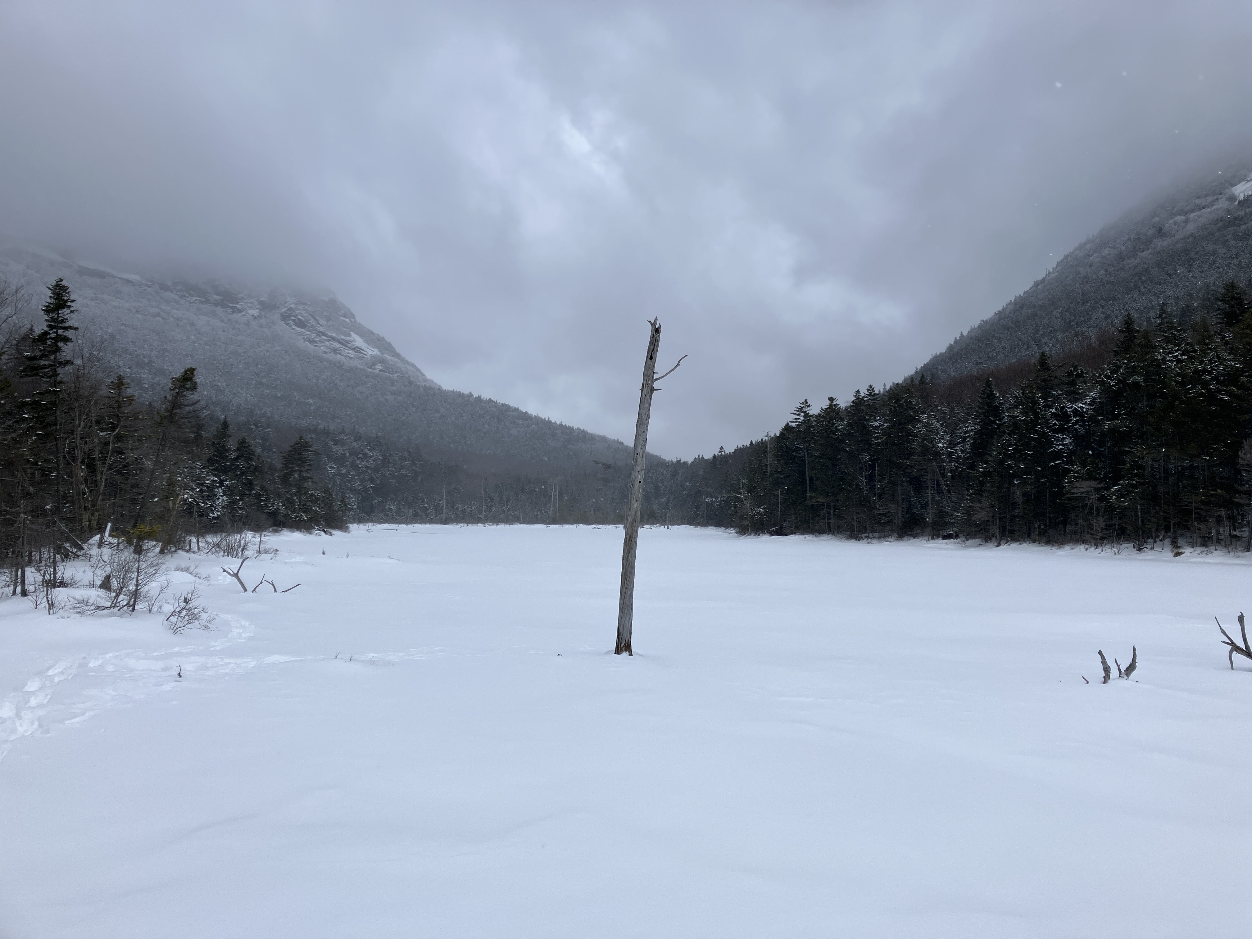
Moody skies at Upper Greeley Pond.

Traversing the pond through a few inches of snow atop solid ice.

The northeast cliffs of East Osceola.

The track of the multiple Northeast Slides of East Osceola comes right down beside the trail.

Good snowshoeing on the Greeley Ponds Trail between the two ponds.

Lower Greeley Pond has not frozen well this winter. Crossing it was a no-go.

I followed the trail to the south end of the pond and worked along the edge on deep firm snow, gaining this view north into Mad River Notch.
A view up the pond to the East Osceola cliffs from the southeast corner of the pond.

From here I could see the big, steep snowy slab that I was heading for on the Southeast Slide of East Osceola. It looks close, but getting there requires a steep and strenuous bushwhack with 400 feet of elevation gain. Seen on the left, beneath a pointy nubble, is part of the Painted Cliff.

When the Southeast Slide fell in 1897, it came all the way down to Lower Greeley Pond and partly filled it. The Greeley Ponds Trail had to be cleared through the debris. As I'd done several times before, I followed the track of the slide up from where it crosses the trail. The first part winds gently through hardwoods.

Then it gets steeper.

A snowy corridor through the conifers.

A steep ledge step bars the way.

I hugged the edge to get up it. The snow was deep and dense enough to allow good snowshoe steps on the steep pitches.

This ledge step, festooned with snow rollers, is too steep for my liking.

Time to take to the woods for the climb to the top of the big slab.

Steep...

...and prickly. I advanced slowly, shaking snow off the small conifers with my poles to minimize refreshing neck showers.

I emerged at the edge of the slab, not far below the top.

There is an impressive dropoff below.

From here there is a view down to Lower Greeley Pond, with the west knob of Mt. Kanacamagus and its K2 Cliff rising above.

I made my way carefully up along the edge of the slab.

From the top of the slab, at 2550 ft., the view takes in the southwest ridge of Mount
Kanacamagus and Mount Tripyramid, which was smothered in cloud.

The K1 Cliff is a notable feature of the ridge.

From here, I continued up the slide, enjoying great snowshoeing.

A smooth snowy swath, with the ridgecrest of East Osceola beyond.

The sweet 'shoeing continued.

This open part of the old slide ends at a mid-level headwall, elevation 2750 ft. Above here the slide is revegetated until it breaks open again at its upper end, from 3500-3770 ft. I've not tried to get up there, but in 2019 the accomplished bushwhacker known as timbercamp made a winter ascent to the top of the slide, finding a great view from the upper open section. From there he continued up to East Osceola.

Making tracks along the edge of the headwall.

Side view of the headwall.

View from partway up the headwall. This was my turnaround point.

Back down on the big slab, Tripyramid was starting to emerge from the clouds.

The white streaks of the North Slide could be seen.

Blue sky? What's that?

Back down through the steep forest.

Descending the lower track of the slide.

The west knob of Mount Kancamagus from Lower Greeley Pond.

Dusk at Upper Greeley Pond. The only other traveler I saw this day was a skier hustling into the ponds by headlamp.

The Southeast Slide is seen in this view from a talus slope under the K1 Cliff of Mount Kancmagus. The arrow points to the mid-level headwall that was my turnaround point. The upper open section can be seen below the summit.


Skied this one a few years ago on my very first skin to the ponds. The top third and bottom third skied great but the middle was tough going, narrow and full of trees - I'll stick to dogleg from here on out! I wish I had seen your last pic a few days before that trip!
ReplyDeleteThat must have been quite a trip! The upper part looks quite steep. Dogleg must be quite an adventure with the ice bulges at the waterfalls!
Delete