The sunny south side of the Moat Range is one of my favorite springtime bushwhacking haunts. For this ascent of South Moat Mountain, I bushwhacked up the ravine of Dry Brook on the SW side of the mountain. As expected, the terrain was rugged, but it rewarded with some watery treasures in its inner recesses.
Starting late in the morning, I hiked a mile in on the very well-constructed lower section of the Moat Mountain Trail, which was built 17 years ago by the USFS Saco Ranger District crew. This stretch of trail is a delight to walk.

Where the trail crosses Dry Brook on a bridge, I headed off-trail, upstream. After a while, I came to this nice cascade.
It was a slow-paced journey up the ravine, crossing back and forth over the brook as dictated by the terrain.
This little shelf of hardwoods on the floor of the ravine beckoned for a break.
This tiny yellow violet was the first flower I've seen in the woods this spring.
The steep slopes on either side wrap the valley in a shroud of seclusion.
Hardwood forest stands tall on the steep eastern slope.
Tough sledding ahead, time for an up-and down detour on the west side to bypass a precipitous slope.
By chance, I dropped back down to the brook at this fine cascade.
Rough terrain in sight ahead.
Ice flows linger here, deep in the ravine.
Looks like there could be a cascade, up around the bend.
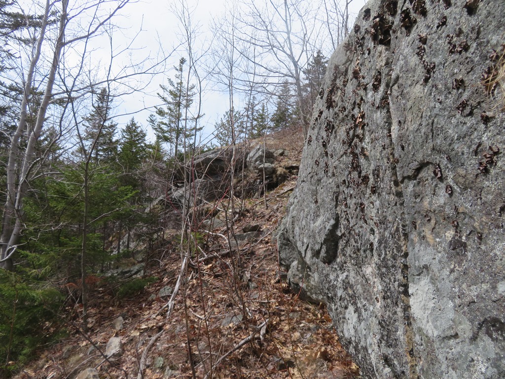
A fractured cliff encloses this gorge on the west side.
There's the cascade. Mindful of the potential for falling ice on this warm day, I did not linger here.
Peering down into the gorge after scrambling out.
Around the corner, another cascade. Didn't get a clear look at this one.
A steep up-and-down traverse of a slope delivered me to the base of this terraced beauty.
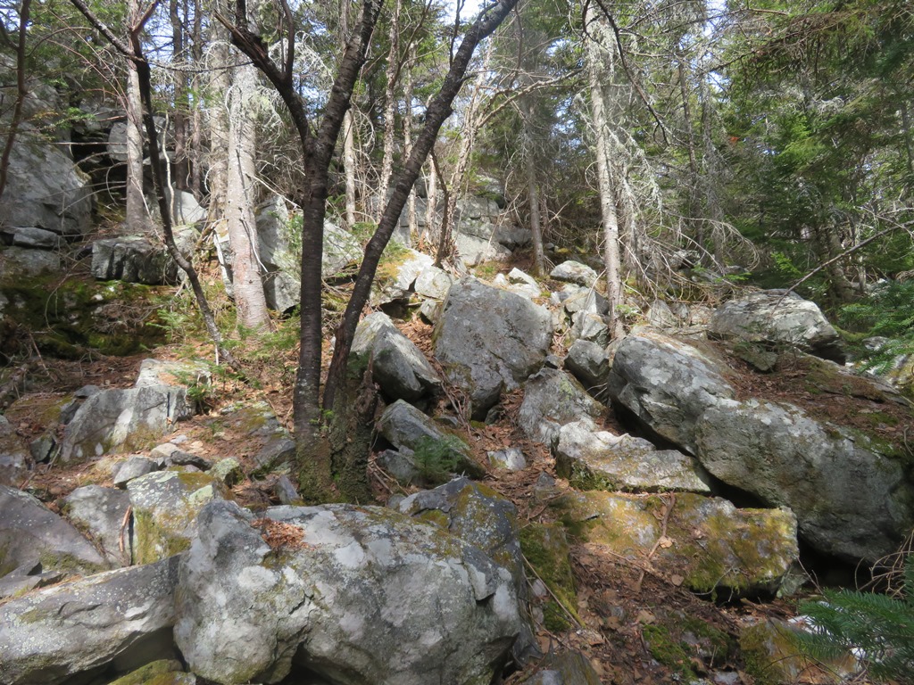
Careful foot placement needed while crossing an old talus slope.
More cascades glimpsed below a jagged wall of rock.
The tallest cascade of the day, tumbling south towards the sun.
The ravine walls were getting too tight to continue following the brook, so I climbed a steep slope through scruffy hardwoods to exit.
Farther up the slope I followed a natural ramp up into a ledgy area.
It was an airy feeling to be out on open ledges after the closed-in ascent through the ravine.
First views of the day, with the Moat spur known as Haystack in the foreground and Mt. Chocorua in the distance to the right.
Back into the woods for the push up to the ridgecrest. There were some old spruces in here.
A small shelf before the final steep climb to the ridgecrest.
A tumble of rocks leads to the top.
Into the great wide open, on the bump north of South Moat, stepping carefully to avoid trampling lichens.
Onto the Moat Mountain Trail, with South Moat in sight ahead.
Looking back down the ridge towards North Moat.
Still plenty of snow on Mt. Washington.
The two summit knobs of South Moat. At 4:00 pm, there was no one around.

Summit marker from the 19th century U.S. Coastal Survey.

Though its elevation is a modest 2770 ft., South Moat has big time views, with dozens of peaks visible near and far, including 28 NH 4000-footers. The jumble of peaks looking NW is dominated by the Hancocks and Mt. Carrigain.
To the SW, the high peaks of the Sandwich Range.
East across North Conway to Kearsarge North and the Green Hills.
Looking north.
Mt. Chocorua beyond the Dry Brook valley.
The ledgy descent off South Moat drops 1600 ft. in the first 1.4 mile.
This broad ledge at 1980 ft. is the last open viewpoint on the way down.
Red pines grace much of this route.
A rugged new relocation bypasses a steep, badly eroded stretch of trail. Another relocation does the same at the bottom of the long descent, then it's smooth sailing on a graded footway for the last 1.3 mile.


No comments:
Post a Comment