During a three-day stretch of fine spring weather I began my annual ASAP hiking journey: April Snow Avoidance Program. It could also be called BGB: Bare Ground Beckons.
LAFAYETTE BROOK: 4/4/22
A late-day bushwhack up a familiar hardwood and birch-clad slope on the north side of Lafayette Brook, ending at an obscure vantage point looking up the valley to snow-capped Mt. Lafayette. To my delight, this slope was about 95% snow-free.

A spacious opening in the forest where birches that grew in after a 1903 fire have died off, having reached the end of their lifespan. The ridge of Eagle Cliff is in the background.
A sunlit birch graveyard.
Contorted.
A pair of large red maples.
After a steep and thick descent, I reached the vantage point, which offers a veiled look down at Lafayette Brook Falls.
From here there is a striking view of Mt. Lafayette presiding over the wild, twisting valley of Lafayette Brook.
Lafayette's long summit crest, with rounded North Peak on the left.
I dropped farther down for a brief visit to this precarious ledge perch.
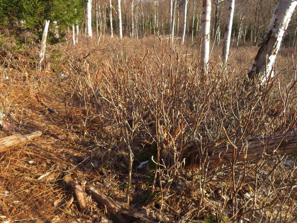
Much of the acreage on this slope is awash in a sea of hobblebush. I usually do this whack on snowshoes, when the hobblebush is partly or wholly buried. It's a different ballgame with the snow gone!
BOULDER LOOP TRAIL: 4/5/22
Carol and I enjoyed a leisurely hike around this three-mile loop trail, with a bit of geocaching mixed in. This south-facing trail at the lower edge of the Moat Range is one of the first trails to melt out in the spring. Only a few avoidable patches of ice were encountered in shady spots.
Carol is a determined geocacher with nearly 5,000 finds. Despite our best efforts, we didn't come up with this one and suspect it may be missing.
First view, partway up the west side of the loop. White Ledge, a spur of Mt. Chocorua, in the distance.
Peering down into an inviting hardwood basin.
A spur from the loop trail leads out to the top of these cliffs, with excellent views. This is known to rock climbers as the Sundown Far Cliff.
From the ledges atop the Far Cliff you enjoy a sweeping view over the Swift River valley to the Sandwich Range.
Whiteface and Passaconaway.
Tripyramid, with Hedgehog and Potash in front.
Down-look.
The viewpoint looks down on the Sundown Main Cliff.
We watched a climber, and then another in turn, negotiate a difficult route on a part of the cliff known as the Alcohol Wall.
In keeping with the theme, this specific climb is known as Have Annutha Drink, rated 5.11b.
Boulder cave alongside the lower part of the loop.
Before heading out, I made an unsuccessful attempt to find a geocache stashed at the top of this cliff. I followed a climber's path up through a talus slope, then on a traverse along the base of this cliff, and a narrow path doubling back across the top, with another cliff looming above. Slippery leaves made the footing rather precarious. Maybe next time I'll find it.
SCARFACE MOUNTAIN: 4/6/22
On the third consecutive gorgeous day I undertook a late afternoon/evening bushwhack to Scarface Mountain, a 2819-ft. northern outlier of Mt. Lafayette. After a short walk up Skookumchuck Trail, I headed up the slope towards the lower spur known as Bickford Mountain. This slope is cloaked in wonderfully open hardwoods, and there are glimpses through the trees to Mt. Lafayette.
I reached the ridgecrest at an open fern glade just west of the 2400-ft. summit of Bickford Mountain.
It seems every hardwood ridge has an ent tree.
A few lingering snow patches on the north edge of the ridge.
A nice half-mile eastward whack along this ridge, with Scarface (L) and Big Bickford (R) glimpsed through the trees.
Hardwoods continue along the base of Scarface, with another peek at Lafayette.
Ascending up the steep cone of Scarface through darker, thicker woods.
I found a route up through some rough, cliffy terrain to the first of three small view ledges on the SW edge of the broad summit.
A framed view of Cannon Mountain from the first ledge. There was a similar limited view from the second ledge.
As I remembered from my last visit here maybe 20 years ago, the third and lowest ledge was more open.
Long vista out to the Green Mountains in Vermont, including Camel's Hump and Mt. Mansfield.
Nice look at Cannon with North Kinsman peering over in back and I-93 below.
Eagle Pass to the south.
The ledge is well-guarded by long, prickly branches.
Before heading home I traversed across the summit plateau to the high point and its register. There was a surprising number of entries, the last was in February.
A view to Vermont's Northeast Kingdom from an open birch-and-fern glade.
Fiery sunset through the trees.


No comments:
Post a Comment