
On the second fine spring day in a row, I headed into the quiet southwestern corner of the Whites for two hikes off a road less traveled, NH Rt. 25C.
LAKE CONSTANCE
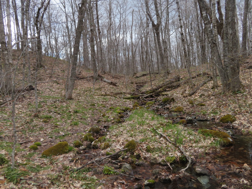
Tucked up among low hills at the north edge of Piermont, and within the WMNF, is a beautiful mountain pond known as Lake Constance. An unofficial, unmaintained route leads to the pond along old woods roads (sometimes used by ATVs) and a narrow but well-trodden footpath. The second old road along the route climbs steeply, as seen below.

Approaching the pond, the footpath runs along an unusual quartzite ridge forested with red pines.

Looking down at the pond from the ridge.

Since I last visited here in 2016, the path has been flooded where it drops down near the shore. To reach a good shoreside vantage point now requires a short bushwhack.

A pretty spot on a puffy cloud afternoon.

On the way back from the pond I made a short diversion on a herd path to quartzite ledges atop a steep knob. Piermont Mountain looms close by to the south.

The best views are from some lower slabs.

Endless skies looking southwest into Vermont.

The Killington Range on the horizon behind the sharp knob of Peaked Mountain.

The Signal Mountain Range in west-central Vermont. Pretty good vistas for an elevation of just 1550 ft.

MOUNT MIST
I drove a few miles up Rt. 25C to the Appalachian Trail crossing for the second hike of the afternoon. The Wachipauka Pond Trail provides a mellow climb to the broad, wooded summit area of Mount Mist. No views unless you bushwhack, but fine woods and an explosion of trout lilies on the upper half of the 1.8 mile climb.

The first part of the trail is a pleasant piney ramble.

I think almost every hiker who passes this way snaps a pic of this massive trident tree.

Hobblebush was starting to leaf out.

Starting around 1900 ft., the sides of the trail were carpeted with trout lilies.

One of the main reasons I chose this trail for today.

An elegant flower.

Meandering through a fine open hardwood forest.

Trout lily trio.

Spring beauties and trout lilies hanging out at the base of a big sugar maple.

Great stretch of walking.

At the start of the trail I had met three northbound AT hikers taking a break at Ore Hill Brook. They passed me, one at a time, up at the summit of Mount Mist. Chatting with them, I learned that two of them were well into an attempt at a Calendar Year Triple Crown - hiking the Appalachian Trail, Continental Divide Trail and Pacific Crest Trail in 2021. Their trail names are Buzz (in photo below, buzzing ahead of me at a rapid pace) and Woody. Some research that evening revealed several news stories about the two Standford students, whose real names are Sammy Potter and Jackson Parell. They post occasional updates on Instagram at @cytriplecrown. Currently they have walked some 2500 miles of the 8000 mile total for the three trails, having started on the AT on New Year's Day, and shuttling to the other two trails for section hikes before returning to the AT. If successful, they will be the youngest to complete the feat. Only nine hikers have accomplished it to date. I wished them good luck on their challenging quest.

Two bolts remain where there was formerly a Dartmouth Outing Club sign for the summit of Mount Mist. The trail passes over the western summit knob; the true summit (2208 ft.) is a slightly higher knob to the SE.

A couple of log seats for resting at the trail's high point.

From here I made a 3/4 mile bushwhack loop to visit the high point and a couple of precarious view perches atop Mount Mist's NE cliffs. Not far from the trail was this magnificent maple.

At the base of the maple were the only Dutchman's breeches leaves I saw on this hike. No flowers yet.

A small wetland in the saddle between the summit knobs.

Black cherry duo.

That's the true summit over there.

An amazing hardwood plateau on this broad-spreading summit.

Maple glade.

Headwater of Black Brook.
View of Mt. Kineo and Carr Mountain.

Mt. Moosilauke and its long southern ridge, behind Wyatt Hill.

Moosilauke, with a good look into Slide Ravine. Glencliff Home can be seen at the base.

From another clifftop, Wachipauka Pond with Owls Head cliff/Benton Range and Mt. Clough behind.

Red trillium in evening sun.


No comments:
Post a Comment