
The long, low ridge of Moose Mountain in
Hanover is the first peak on the northbound Appalachian
Trail after it enters New Hampshire. The AT runs over the summits of both South Moose
(2293 ft.) and North Moose (2313 ft.). The mostly hardwood ridge walk between the peaks is delightful in spring, and there are wildflowers in profusion. North Moose has two restricted views and South Moose has a good open view to the east and southeast. Though far from spectacular, this
mountain has a special charm akin to the Catskills, and the Moose ridge walk is one of
my favorite AT sections in New Hampshire.
I prefer the approach from the quieter north end of Moose Mountain Trail, off Goose Pond Road.

The trail makes a steady, switchbacking climb up onto the ridge.

Mossy foot.

Interesting pattern of trees and ledges.

In one section the trail climbs over a series of quartzite ledges.

There were a bazillion trout lily leaves lining the footway. In a few days this route should be bursting with blooms.

Gnarled tree and verdant ledge.

The NE viewpoint high up on the mountain has closed in considerably since I was last here ten years ago.

There's still a good look at the huge bulk of Smarts Mountain.

Some impressive trail construction by the Dartmouth Outing Club trail crew. DOC maintains all of the AT from Hanover to Mt. Moosilauke. After a multi-year land acquisition and trail construction project, this section of the AT over both South and North Moose was completed in 1984.

Many of the trees on the North Moose ridge are sugar maples, but there are some black cherries in the mix.

Inviting corridor approaching the North Moose summit.

This tilted quartzite ledge near the summit offers a restricted view out towards Vermont.

Despite the cloud cover, Killington was clearly visible.

Salt Ash Mountain on the horizon.

Wonderful ridge walking.

DOC has placed a new sign on the south knob of North Moose, though the north knob is 6 ft. higher according to the Lidar 2-foot contour map on the NH Granit website. My GPS altimeter agreed.

Trout lilies rockin' it.

Is this the Catskills?

Moose Mountain Shelter, located above the North Moose/South Moose col. DOC has a long history of shelters on Moose dating back to 1910. Through the years various cabins have gone by the names of Calf Moose, Cow Moose and Bull Moose. These were all on the west side of the mountain. They were torn down in the 1940s and 1950s. The original Moose Mountain Shelter was built in 1930-31 down on the east side of the col. It was replaced by the current shelter in 2003.

The DOC is noted for the originality of its privies.

Bench with a view in front of the shelter.
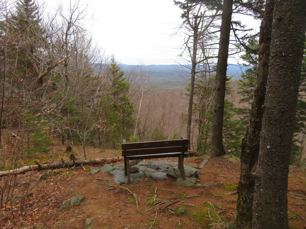
Signage at the junction with the shelter loop trail.

In the col the trail crosses the historic Old Wolfeboro Road. In 1772 Governor John Wentworth, the last of New Hampshire’s royal governors, had this road built from his residence in Wolfeboro (near Lake Winnipesaukee) to Hanover, passing through the Moose Mountain col. Some sources say the road was built so that the governor could more easily keep an eye on restive Connecticut River valley settlers in the tumultuous days before the American Revolution. Another states that it was made so that he could attend the first commencement at Dartmouth College. Variously known as the Province Rd., Governor’s Rd. and Wolfeboro Rd., it was later used as part of the Appalachian Trail.

The opening near the South Moose summit has been cleared out since I last visited. The east/southeast view takes in Mt. Cardigan, Ragged Mountain, Mt. Kearsarge and Mt. Sunapee.

Cardigan and its satellite ridges spread out behind Goose Pond.

Sign at the summit viewpoint. The pack in the corner belongs to "Captain Jack," an early northbound AT hiker who hails from Louisiana. Having encountered snow on Killington, he knows what's coming in the Whites.

A red trillium spotted on the return trip.

Tufts of grass show the way along the ridge.

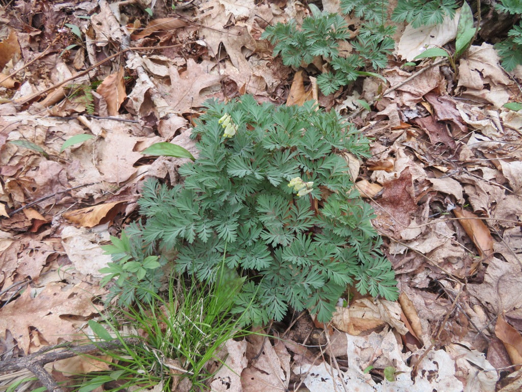
Some early Dutchman's breeches!
I was a few days too early for the trout lily festival, which was just getting underway. The round trip to North and South Moose from Goose Pond Rd. is 7.4 miles round trip with 2150 feet of elevation gain.


No comments:
Post a Comment