Climbed an old favorite ahead of an oncoming snowstorm. A pretty quiet day on the Moose with fine winter scenery and excellent views, including interesting looks at the slow advance of the storm cloud front. The trail was a nicely packed highway, a welcome break from my recent trail-breaking excursions.
Ravine Lodge Road (off Rt. 118, which is its usual bumpfest) is plowed and sanded. Hikers can drive in 0.7 mile to angled parking before a gate, then walk a mile farther up the road to the Gorge Brook Trail.
From the road, a look up at the headwall of Gorge Brook Ravine. The white patch is the largest of the Pleiades Cascades (well off-trail).
Dartmouth's Ravine Lodge, in hibernation.
Plenty of snow-covered trees along Gorge Brook Trail.
Dartmouth Outing Club signage.
Bridge over Gorge Brook.
Gorge Brook, buried.
Open woods typical of the middle section of Gorge Brook Trail. This is an excellent winter route, with moderate swtichbacking grades and its rocky footing hidden under the snow. Somewhere along here I chatted with Larry "Old Man and the Saw" Babcock, who has been hiking Moosilauke every month for many years.
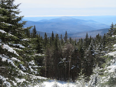
A cleared viewpoint at 3800 ft., looking south to Carr Mountain. Storm clouds line the horizon.
Tunneling.
Panoramic eastern vista at 4200 ft.
Franconia Ridge.
Liberty and Flume, Guyot and Bond, and Washington lording it over in back.
Tripyramids, with the North Slide highlighted in white. Clouds behind are advancing from the east.
Mt. Osceola, peering into slide-scarred Breadtray Basin.
Frosted beauty....
...at every turn.
Looking down to Lincoln, my town, with Hancock and Carrigain on the horizon.
Clouds begin smothering North Tripyramid.
The DOC calls this section of trail "The Balcony."
Down-look at Ravine Lodge.
Alpine shoulder approaching the broad, flat-topped East Peak.
The snow-caked summit in sight ahead.
Approaching treeline, time to layer up.
An important message.
World of white, could be disorienting in the fog.
Looking towards South Peak, the storm is coming.
Lonesome summit.
Hundred-mile views to the west.
An Adirondack day: a spread of High Peaks from Dix on the left to Giant on the right. Marcy, left of center, is the highest.
Faded sun over the summit signs.
Looking north along the broad alpine ridge.
A biting easterly wind buffeted the summit, but I managed a half-hour sojourn in the lee of a ledge. Had the place to myself.
Heading back down towards East Peak.
A gray wave is heading our way.
A hiker emerges from the scrub, followed by another: Nancy and Charlie Foote, a highly accomplished hiking couple.
After a visit, Nancy and Charlie head up for a quick tag of the summit.
Back into the trees.
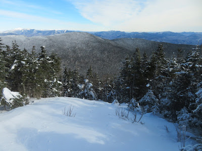
Stark wintry view from The Balcony section of trail. Mt. Jim in the foreground on the right, the rippled Mt. Wolf in the middle distance on the left, high peaks beyond.


Wow, stunning day, Steve. When did the storm hit Lincoln? All things considered, is this an easier hike in the winter, at least when the trail has been broken out, than during the warmer months? I suspect for my joints it would be.
ReplyDeleteHi Steve, It didn't start snowing here til around 7:00, and we only got 3" - much less than areas to the east and south. Gorge Brook Trail is definitely easier in winter, when all the rocks are covered.
ReplyDelete