
Though the predicted partly sunny skies didn't materialize, a return visit to the remote Flat Mountain Pond area was still highly rewarding. The 4.3 mile hike in from Whiteface Intervale to the north end of the pond is especially attractive during foliage season. In addition to visiting the big pond, I enjoyed views from a nearby beaver pond and bushwhacked through fern-filled birch glades to a clifftop ledge on the flank of Flat Mountain. This is one of the wildest and most interesting areas of the Sandwich Range Wilderness.
Whiteface Intervale trailhead. The first 1.6 miles of the trail is on private land - thanks to the landowners who provide hiker access.

A gentle half-mile walk in from the trailhead leads to a short side path with a fine view across a large wetland to the southern of the two Flat Mountains (R) and Sandwich Dome (smothered in cloud on the L).

A zoom reveals some nice birch gold color on the upper slopes of Sandwich Dome.

At 1.6 miles the Flat Mountain Pond Trail crosses the rocky Whiteface River. A former footbridge located here suffered the same fate as Spider Bridge on the Wild River Trail. I don't remember what storm washed this one away, I believe it was sometimes in the early 2000s.

Low water made the crossing simple this day.

On the far side of the river the trail enters the Sandwich Range Wilderness and soon passes the junction with the McCrillis Trail, the quiet route to Mt. Whiteface.

Crossing the East Branch of the Whiteface River, which drains a trailless valley between Mt. Whiteface and its prominent West Spur.

The 1.5 mile section that closely follows the Whiteface River is a delightful walk, with mostly easy grades and excellent footing.

There were many colorful vignettes along the river, which is chock full of huge boulders.


The trail and river level off on a plateau at 1800 ft.


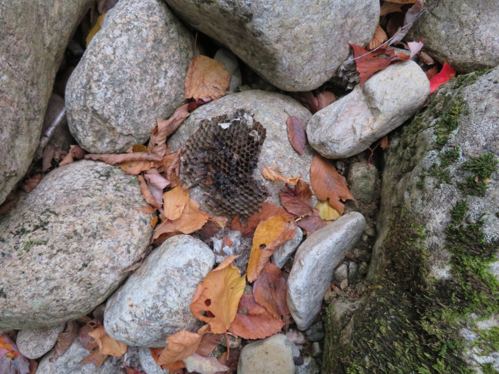
This piece of what looked like a beehive was in the bed of the river at the upper crossing at 3.1 miles.
Running the hobblebush gauntlet.

A short rocky section approaching the pond, worthy of the Mt. Osceola Trail.

From the wetland at the NE corner of Flat Mountain Pond, there would be no view of Sandwich Dome today.

Old weathered ties from the northernmost extension of the Beebe River Railroad, a logging line that operated from 1917-1942. The main track ran 22 miles from Campton out to the base of Mt. Whiteface.

Still water at the northern pool of Flat Mountain Pond.

From a 90-degree turn on the Flat Mountain Pond Trail, a northern spur of the railroad can be followed about 150 yards to one of my favorite scenes in the White Mountains: a large beaver pond/meadow with a view up to Lost Pass. This remote gap lies between the northern Flat Mountain (seen on the left), the southwest spur of East Sleeper (seen on the right), and Snows Mountain. The name “Lost Pass” was applied to the area by Waterville Valley hiker, trail-builder and historian Nathaniel Goodrich, referring to the two trails that were cleared through the pass. The first was opened around 1860 by Waterville innkeeper Nathaniel Greeley and residents of the Wonalancet area, and the second in 1905-06 by Goodrich himself and the Wonalancet Out Door Club. Each trail, in turn, soon fell into disuse and was “lost.” To this day the area has an aura of seclusion and mystery.

Zoom on the East Sleeper spur, a ridge that is rarely traversed.

The humpy profile of the northern Flat Mountain.

At the 90-degree turn, the Flat Mountain Pond Trail crosses Pond Brook, which flows down from Lost Pass.

For a moment the West Spur of Mt. Whiteface emerged from the clouds, while the main summit remained shrouded.

I left the trail along the shore of the pond and bushwhacked up the side of the northern Flat Mountain through open woods.

Birches and ferns! The birches seeded in after a 1923 forest fire burned 3,152 acres in the Flat Mountain Pond area. The blaze was an inevitable result of the careless logging practices of the Beebe River Railroad.


An inviting corridor.

This steep birch glade had an amazingly dense carpet of ferns. I followed a path beaten through by moose.

Looking across to the southern Flat Mountain.

More ferns to wade through.

I made my way to a clifftop I had visited several times before. Though Mt. Whiteface was in the clouds, the high swells of West and East Sleeper were visible. There is a large wild, trailless area on the southern slopes of these ridges.

The Sleepers were named after Katherine Sleeper Walden, a dynamic Wonalancet innkeeper and founder of the Wonalancet Out Door Club in 1892.

The ledge opens a wide distant view to the east, beyond the north end of Flat Mountain Pond.

The southern Flat Mountain is seen on the right. It's an oddity of White Mountain nomenclature that there are two Flat Mountains with summits just two miles apart.

The rock slabs drop off steeply below.

There's also a bird's eye view of the beaver pond just north of Flat Mountain Pond.

The northern part of Flat Mountain Pond, with part of Ossipee Lake in the distance.

A bushwhacking dream.

Park-like.

Back down on the trail, I headed for a nice sitting rock beside the larger southern section of Flat Mountain Pond.

The water stretches away for nearly a half-mile to the south shore of the pond.

Silence reigned in this serene backcountry setting.

Looking across the pond.

A red maple ablaze.

October reflection.

Heading home through mutliple colors on the pondside trail.


No comments:
Post a Comment