
On Sunday, October
20th five of us enjoyed a cool, cloudy fall day for the 31st annual
White Mountain Crop Hunger Walk, a "hike for hunger" that benefits the
programs of Church World Service. This year's participants included Thom
Davis, Roger Doucette, Dennis Lynch, Mary Ann McGarry, and this
correspondent. Our route was a loop over Mount Chocorua from the
southwest via the Brook, Liberty, Piper, West Side, Brook, Bee Line and
Bolles Trails.
Since its inception in 1989 our walk has raised more than $85,000 for
the anti-hunger programs of Church World Service, with more than $21,000
of that provided to local food pantries in the western White Mountains.
We owe the success of our walk to the consistent generosity of our
sponsors. The CROP Hunger Walk theme is “Ending hunger, one step at a
time." This is the 50th Anniversary of Crop Hunger Walks!
To make a donation for our walk, visit
https://www.crophungerwalk.org/lincolnnh, or mail a check made out to
"Church World Service" to Steve Smith, PO Box 485, Lincoln, NH 03251.
Thanks!
Setting off from the Paugus Road trailhead on the Brook Trail.

This
scenic trail was cut in 1892 by local farmers to access the ledges of
Mt. Chocorua for blueberry picking, avoiding the toll that was then
being charged for use of the nearby Liberty Trail.

The trail meanders up the valley of Claybank Brook through beautiful open hemlock forest.

Still some late muted foliage in the hardwood forest.

At 1.8 miles the trail passes an attractive small cascade.

A leisurely hike.

Walking along Claybank Brook.

Crossing Claybank Brook. Here the real climbing begins - 1500+ ft. of elevation gain to the summit in 1.1 mile.

Steep and rocky.

First ledge, just below the Bee Line junction.

The upper part of the Brook Trail has a number of ledge scrambles.

The rock was slippery today, requiring careful attention to footing.

At about 2950 ft. the trail struggles up a large, steep broken ledge, perhaps the trickiest trail spot on the mountain due to its slick footing. Roger and Thom scaled it directly, while three of us used a bypass on the way up after experiencing potentially dangerous boot slippage.

Looking down the tricky ledge.

Easier ledges above.

A great west-facing view ledge beside the trail, with an excellent perspective on the Sandwich Range.

Many peaks to the north.

The Brook/Liberty Trail junction is important and well-marked.

Next to the junction, geology professor Thom points out a dark diabase dike that was intruded into the granite bedrock.

Heading up in the open.

Views for miles.

Summit ledges in sight ahead.

After tagging the summit amidst a small crowd, we repaired to quieter ledges on the south side.

Time for lunch and enjoying the views.

To the east, looking down at Carter Ledge and the Chocorua River valley.

To the SSW, the valley of Claybank Brook, which we had come up on the Brook Trail.

To the SW, the Bee Line Trail valley, our descent route.

A lone hiker gazes south at the Hammond Trail ridge and Silver, Ossipee and Chocorua Lakes (L to R).

Late color in the Chocorua River valley.

An obliging hiker took our traditional Crop Hunger Walk group photo, and also made a cash donation - thank you! .Left to right, Roger Doucette, Dennis Lynch, Steve Smith, Mary Ann McGarry and Thom Davis.

Mary Ann pauses on a rocky knoll as we head north on the Piper Trail for a loop around the summit.

On the Piper Trail. There were still quite a few people coming up mid-afternoon.

Neat side angle on the summit cone.

Tiny figures atop the peak.

We looped back along the base of the summit on the pleasant, lightly-used West Side Trail.

This short trail has a nice secluded feel.

A Sandwich Range vista along the way.

We each found a route to descend the big precarious ledge on the Brook Trail. My rear end was certainly put to good use.

The lowest part of this ledge was particularly slippery.
Cautiously descending the lower ledges.

Soft footing on the upper part of Bee Line Trail, a relocation made in the 1990s.

Looking up at the start of the abandoned upper section of the original Bee Line Trail, which ascended a steep, hazardous ledgy slide.

Down in the beautiful, secluded Bee Line valley.

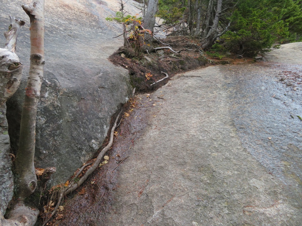
The lower of two crossings of an unnamed tributary of Paugus Brook that drains the valley.

Thom points out feldspar weathering on a boulder, creating loose "rottenstone" (aka "grus") at its base.

Due to running well behind schedule, we ran out of time for a planned side trip north along the Bolles Trail to the site of Mudgett's Camp. But we did find these stove parts at the site of Mason's Camp. Both of these logging camps were associated with the large Paugus Mill operation in the early 1900s.

Strolling out along the Bolles Trail. Crop Hunger Walk #31 is in the books!


No comments:
Post a Comment