
A crack o' noon start for a rewarding exploration in the eastern
Sandwich Notch area. Many interesting sights, and biting insects
aplenty.
I parked at the Beede Falls lot (Sandwich Town Park) and strolled up Sandwich Notch Road.

Made a short bushwhack to a cascade on the Bearcamp River.

This fine conservation group owns a parcel on the east side of the road, on the slopes of Dinsmore Mountain.

According to descriptions in booklets published by the Sandwich Historical Society, this cellar hole was probably the Thompson Place, occupied in the 1820s and 1830s.

Pulpit Rock: In the early 1800s Joseph Meader, a Quaker preacher, used this lofty perch to preach every Sunday.

An impressive rock face behind Pulpit Rock.

Cascades on the Bearcamp River, visible from a bridge on the road.

I left the road and followed the beautiful Bearcamp River upstream, soon passing this ledgy cascade.

Looking back at the river as it flows through a shrubby meadow.

A wooded section of the river, reminiscent of the Brook Path in Wonalancet.

Farther upstream, the river surges through a small gorge.

Looking down into the flume-like cut.

Peaceful meandering.

Cascade and pool.

The river pauses in a large beaver pond/meadow.

The old beaver dam is grown to tall grasses.

Looking north across the meadow.

From here I bushwhacked through open hardwoods up to a small pass in the Squam Range.

Back in May this area would have been carpeted with trout lily blooms.

There are some large maples in this less-visited area on the fringe of the WMNF.

White ash growing in a lush ravine.

A vernal pool up on the ridgecrest.

Fading leaves of Dutchman's Breeches. Will have to return in May sometime.

Over the pass, I descended into a remote drainage in the Beebe River valley, part of the 5,435-acre tract purchased by the Conservation Fund in 2014.

One of many nameless tributaries of the Beebe River, a notable trout water.

Approaching a large beaver meadow I had admired from Mt. Squam the previous week.

One of the prettiest backcountry wetlands I've seen.

View to the Squam Range: Mt. Squam and its northern spurs.

The lushness of late spring. The mosquito population was booming.

From the meadow I headed back up onto the ridge, passing this rough talus jumble hidden in the forest.

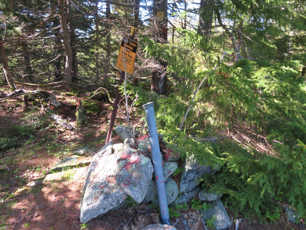
A USFS boundary marking atop a small ledgy knob.

My ultimate objective was a set of open ledges on the SW side of a 2020-ft. spur peak of the Squam Range, unofficially called "Sandwich Notch Road Hill" and "Doublehead Mountain - North Peak." To get there, it was necessary to navigate around a long ledge band.

The route led up through a natural hardwood corridor.

A Catskill-like area approaching the summit ridgecrest.

Black cherries, a relatively uncommon tree in the Whites.

Spruce meadow on the ridge.

The high point of this 2000-footer is marked by the WMNF boundary. There was no register for signing in. In addition to the names mentioned above, this little peak may have been called Catamount by early settlers, in reference to an incident where Simeon Smith's dog treed a wild cat.
Out to the ledges late in the afternoon. Fellow Sandwich Notch explorer Ray "Jazzbo" Caron has dubbed these the Catamount Ledges. On our separate visits, both Ray and I took care not to trample the lichens growing in profusion on parts of the ledges.

The officially unnamed northernmost peak of the Squam Range, sometimes called Doublehead Mountain-Northeast Peak.

Looking at the backside of the northern Squam Range: Doublehead Mountain, Mt. Squam and Squam's northern spurs (L to R).

The Ossipee Range off to the southeast.

This day produced some of the worst black fly swarms I've encountered in recent years.

Donning headnet and gloves, I managed to relax for a while.

Evening sun on the upper ledges.

Fern glade along the ridge.

Last sun at the Bearcamp River beaver meadow.


No comments:
Post a Comment