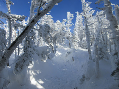
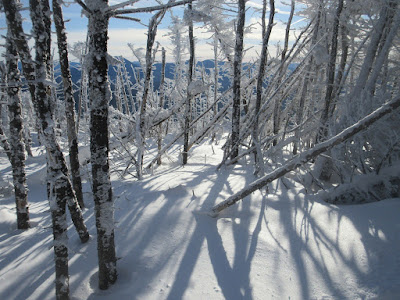
Fresh powder made for great snowshoeing and abundant winter beauty on the Willey Range.
The day's objective in sight behind Mt. Avalon.
At the first crossing Crawford Brook was buried with a solid snow bridge. Sadly, forecasted heavy rain will likely blow the snow bridges out.
A stellar day.
Future trail work.
A new trail sign at the former Avalon/A-Z Trail junction. A relocation done by the AMC trail crew earlier this year moved the junction 80 yards farther up the Avalon Trail. The relo bypasses the former steep down-and-up through a gully, and instead skirts around the head of the gully.
Nice easy grades on the relo. The former gully crossing was tricky in winter.
As the A-Z Trail slabs up the Crawford Brook valley, it passes some wonderful gnarled old yellow birches.
A peek at the snow-caked NE ridge of Mt. Tom.
Big snow load.
Open glades.
More yellow birches.
Trail junction on the ridge.
Great 'shoeing along the Willey Range Trail on the mellow north ridge of Mt. Field.
Ghost trees.
Midwinter depth, just before the start of winter.
There were a few bendovers to negotiate.
Swamped with snow.
Yikes!
Backlit beauty.
Though only an inch of snow fell in Lincoln the previous couple of days, there was plenty of new powder up on the Willey Range. Tuesday's high winds fashioned some deep, soft drifts. Thanks go to the two 'shoers who busted the first tracks through the drifts going the other way, earlier in the day.
More drifts, slow going.
A peek at North Twin.
The final short, steep pitch to the summit of Field.
Two 'shoers headed the other way, assuring me of an easier trip back through the drifts.
Looking NW from the viewpoint just before the summit, which is much improved with deep snow. The sun here was great, but it was accompanied by a biting wind with temps in the low teens.
The Twins, with Zealand Ridge and Mt. Lafayette on the L.
Mt. Tom and distant NW horizons.
Mt. Bond overlooking the North Fork valley in the heart of the Pemi Wilderness.
The summit clearing on Field. For the second time, deep snow and caked trees foiled an attempt to find a geocache.
A short bushwhack, taking care not to fall into a spruce trap, led down to a fir wave that promised good views.
Mt. Willey rising at the south end of the range.
Mt. Carrigain, Carrigain Notch and the Sandwich Range. Tough lighting looking south into the low-riding December sun.
The vast sprawl of Hancock beyond the dark forests of the eastern Pemi.
Mt. Bond beyond the trailless western spurs of Field. This is the wild side of Field, compared to its more familiar aspect overlooking Crawford Notch.
Field's northern viewpoint is wide open when the snow is deep.
The Presys, of course.
Mt. Tom and Cherry Mountain.
The Twins behind a summit sentinel.
Slanting sunbeams along the north ridge.
Packed powder made for excellent conditions on the descent. Only five other snowshoers - and no barebooters! - today.


