
CATSKILLS - NORTH DOME & MOUNT SHERRILL: 4/20/16
On a spectacular spring day I joined Laurie Rankin, Secretary of the Catskill 3500 Club and one of the most accomplished and knowledgeable hikers in the Catskills, and Rick Brockway, outdoor columnist for the Oneonta, NY Daily Star, for a memorable bushwhack traverse of two of the trailless high peaks. For the ascent of North Dome we used a seldom-traveled route up the mountain's long south ridge, then we traversed across Sherrill and down a SW ridge to a parking area on Shaft Rd. off Rt. 42. We enjoyed magnificent views from outlooks on both peaks.
We began our adventure at a parking spot on Broadstreet Hollow Rd. low down on the SE side of North Dome, at a point where a sliver of state land extends down to the road. After an initial pitch we followed a broad and gentle ridge NW up to the south ridge of North Dome.

A bear tree along the way.

Open hardwoods were the rule on this 8 1/2 mile mostly bushwhack route.

Early-blooming Dutchman's Breeches.

A few patches of squirrel corn were in bloom. We also saw some blue cohosh. All three of these flowers prefer enriched hardwood forests and are uncommon in the White Mountains.

One of many naturally sculpted rocks in the forest.

Climbing a steeper pitch up to the crest of the south ridge.

Many sections of this ridge were gentle and some were nearly level. The woods were mostly red oak up to 2800 ft.

Rick ponders a route through one of the many ledge bands found on Catskill ridges.

The ridge provided a long and mellow ascent route, quite a contrast with the usual very steep, cliff-banded approach from the Devil's Path up the east side of North Dome.

Twin black cherry trees.

The massive ridges of West Kill Mountain could be glimpsed from the east edge of the ridge.

Tree-on-rock.

A gorgeous day and a beautiful ridge for a bushwhack.

An unusually shaped rock - Laurie thought it could be a lizard's head.

The ridge goes on and on...

No herd paths on this crest.

This portal provided passage through another ledge band.

Mushroom rock.

A crazily twisted tree at 3500 ft.

A park-like glade.

Into the conifers, but mostly pretty open.
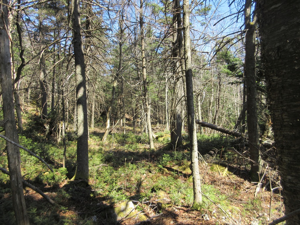
We passed through this glade as we neared the SE viewpoint.

After five hours of leisurely whacking we reached the great ledge perch on the eastern brink of North Dome, looking down Broadstreet Hollow to the Burroughs Range on the horizon. An amazing spot.

Looking north to Rusk Mountain and Hunter Mountain rising above the Spruceton valley; West Kill Mountain on the right.

This photo and the next show West Kill and its enormous south ridge.

West Kill south ridge, cont'd. That would be a most interesting bushwhack route. The ponds and fields in the valley are at the private Timber Lake Camp.

Hunter Mountain (L) and West Kill Mountain (R).

Wittenberg, Cornell, Slide and Panther.

Great airy spot for a late lunch.

Rick and Laurie take in the views.

Parting shot at the viewpoint.

We followed a herd path across the broad, flat crest of North Dome.

The survey marker at the summit.

Signing in at the canister. Laurie has been to this peak around 18 times and plans to finish her Catskill "grid" (hiking each peak in every month) later this year.

We were able to follow a herd path for a short distance heading west towards Mount Sherrill, but it soon faded away.

Back into the ridge hardwoods.

Descending towards Sherrill.

This is known as the "Boy Scout Cave."

Laurie navigated us right down to the narrow North Dome-Sherrill col.

Starting the steep climb up towards Sherrill. Through here there is a discernible herd path, as in places there is only one logical route up through a ledge band.

Up we go.

A couple of good scrambles, akin to the Devil's Path farther east on this same range.

Rock and tree sculptures define the Catskill ridges.

There always seems to be a way up through the ledges.

We reached the SE viewpoint on Sherrill around 5:00, and gazed back at North Dome, whence we had come.

The lower perch opened a stunning vista down the wild valley of Peck Hollow to the southern Catskill peaks.

Fir, Big Indian and Doubletop.

More peaks off to the east. The hour was late, so we could spend only a few precious minutes at this vantage point.

Laurie and Rick at the Sherrill summit canister.

Me and Rick, 3500 Club aspirants. (Photo by Laurie Rankin)

Weaving through the gnarled hardwoods on Sherrill's summit plateau. The herd path petered out quickly as we aimed for Sherrill's SW ridge.

Magnificent hardwoods.

Wonderfully open woods on a shelf along Sherrill's SW ridge.

Descending to another shelf.

Spring was springing.

Could it be any more open?

Towards the bottom of the descent we dropped down through a gorgeous hemlock forest to an old bark road that Laurie and her husband Tom had discovered a few years ago.

We followed the old road for a while, lost it, then picked it up again and continued down to a nameless creek on the floor of the valley.

We crossed the creek in an area of old pastureland and were soon back at our cars, just before dark.It was quite a day!


No comments:
Post a Comment